Uncategorized

Como a UNICAMP, uma das principais universidades da América Latina, está usando imagens de satélite para monitorar sistemas de integração lavoura-pecuária no Brasil

Uncategorized

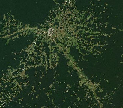
To read this piece in English, view this page. Segundo a FAO, cerca de 38% da superfície terrestre é ocupada por áreas cultiváveis, um terço por áreas agrícolas e os dois terços restantes como campos e pastagens. No Brasil, a pastagem é o principal uso da terra, ocupando grande parte do território […]

Sun Setting on Open California

Uncategorized

When we launched the Open California program almost 3 years ago, it was an open data initiative and the first time we showcased our data to the world with images from our first Doves. At that time, we didn’t have trials or programs that matched the needs of the majority of our […]

Planet Names Top Three Finalists of the Planet Daily Change Challenge, part of Copernicus Masters

Uncategorized

Following a multi-phase evaluation this past summer, Planet is pleased to announce the top three finalists of the Planet Daily Change Challenge, a challenge of the Copernicus Masters competition that awards prizes to developers who leverage Earth observation data to solve important problems for business and society. The three finalists and their […]

The Making of an Oil Boom

Uncategorized

The Permian Basin is arguably the epicenter of what many are calling the next US oil boom. In this Insight, Planet detects new oil development in the Midland-Odessa region via an algorithm processing high-resolution, high-cadence satellite data.

Planet Announces New, Flexible Emergency and Disaster Management Solution

Uncategorized

Massive floods in Peru. Earthquakes in Mexico. Hurricanes and wildfires in the United States. 2017 was an unprecedented year for natural disasters around the world, inflicting a tragic toll measured in lost lives, displaced communities, damaged property, and economic and ecological disruption. In the U.S. alone, NOAA estimates that weather-related disasters cost […]

Mission 1 Complete!

Uncategorized

At Planet, we’ve been pursuing Mission 1: to image the entire Earth’s landmass every day. I couldn’t be more excited to announce that we have achieved our founding mission. Six years ago, our team started in a garage in Cupertino. Mission 1 was the north star: we needed to build the satellites […]

Trial Offer: Try Planet’s Automated Basemaps

Uncategorized

For a limited time, Planet’s offering up a trial of our Timelapse Basemaps web service. Planet’s Automated Timelapse Basemaps represent a specific window in time, either quarterly or monthly. All imagery included in these mosaicked basemaps is taken from that selected time frame, processed in the cloud, and served up on the […]

Rescuing Stranded River Dolphins With the Help of Satellites

Stories

Central Brazil’s Araguaia River flows over a thousand miles through rainforest, savannah and farmland. In dry season as the river’s water dwindles, endangered Araguaia River dolphins shimmy across sand banks to find pools of fish and deeper waters. Human-built irrigation dams can often block a dolphin’s path, trapping them in dwindling, shallow […]