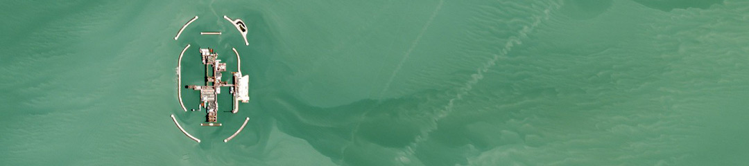
Dove Imagery Used for Bathymetric Mapping
Satellite-derived bathymetry has numerous applications, including enhanced mapping and classification of bathymetric features such as coral reefs and seagrass meadows, as well as use in maritime navigation and coastline infrastructure. Dimitris Poursanidis from the Foundation for Research and Technology in Hellas, with colleagues from the German Aerospace Centre, used Planet’s Dove images […]
