Search
A Pioneering Approach to Reduce Methane and Carbon Dioxide Emissions
Collective Action
Harnessing the Power of Many
To help accelerate action on climate change, Planet is a key partner in the Carbon Mapper, a first of its kind public-private partnership consisting of a broad-based coalition of industry, government, philanthropies, and academic institutions working to identify and accelerate pathways to mitigate methane and carbon dioxide point source emissions over the critical next decade and beyond.
Measuring Emissions From Space
A Groundbreaking Hyperspectral Constellation
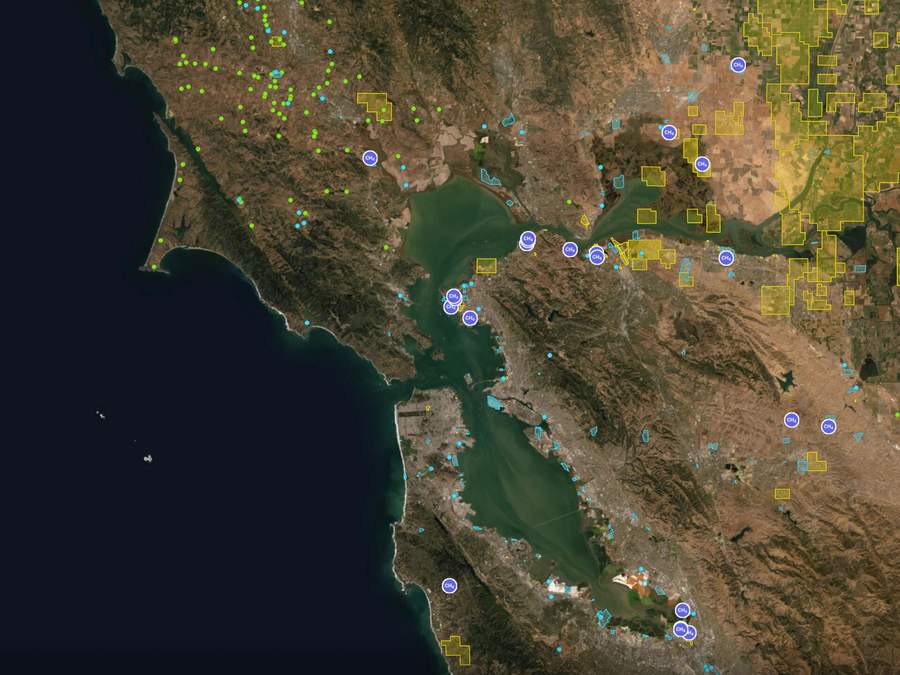
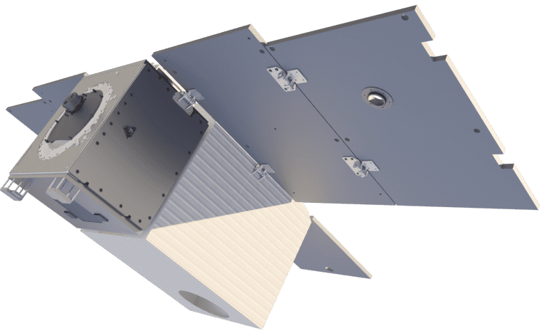
With its partners, Planet is developing a first-of-kind satellite constellation and the cloud-based data infrastructure needed to detect global methane and carbon dioxide emissions precisely at the facility level.
The satellites’ hyperspectral imaging sensor technology, pioneered by NASA Jet Propulsion Laboratory, is designed to provide comprehensive, accurate, and timely measurement of methane, carbon dioxide, and 25+ other environmental indicators that are needed to closely monitor the health of the planet.
This critical data will be made freely available to industry and governments through open data portals, developed by Carbon Mapper Inc., and the California Air Resources Board, promoting the creation and adoption of tools that empower organizations to see, measure, and manage their impacts.
Planet believes this will create a virtuous cycle – fueled by transparency – where industry, government, and research have aligned incentives to mitigate risk and make smarter decisions about planetary stewardship.
Timeline
The Road to Constellation Launch
Planet’s hyperspectral satellite constellation will help reveal social, environmental, and climate risks in unprecedented detail, powering a new generation of policy and innovative sustainable financial instruments.
It takes a village to get satellites in space, and that’s just the beginning. For the complete history of Carbon Mapper and the work of its partners, visit their site.
September
2018
Planet, with the State of California, announced the intent to study the development of methane sensing satellites - building on JPL's ongoing, aircraft-enabled emission research.
September
2019
Michael R. Bloomberg and California Governor Gavin Newsom announced Satellites for Climate Action, an initiative to use satellite data to inform and accelerate climate protection.
December
2020
Following a successful constellation and business study, philanthropic fundraising, led by High Tide Foundation, is secured and key partnerships are forged.
APRIL
2021
Carbon Mapper is announced with Planet's intention to build a set of satellites that will detect methane and CO2 emissions at the facility scale.
A Multifaceted, Global Challenge
You Can’t Fix What You Can’t Measure.
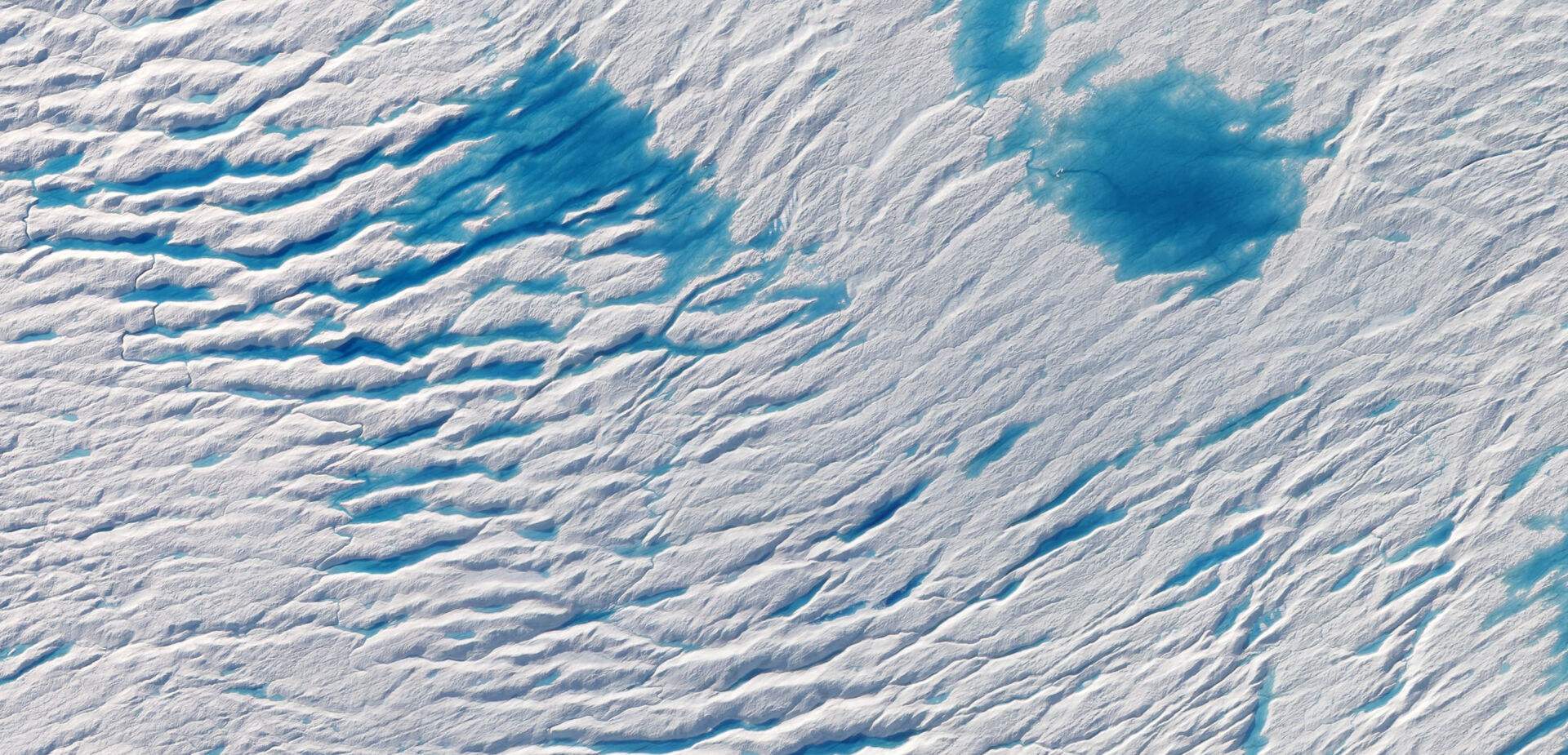
Planet is driven by the belief that you can’t fix what you can’t measure. Today, global measurement of methane and carbon dioxide point source emissions across the industrial and energy sectors remains a formidable challenge for a variety of reasons.
Data collection varies wildly depending on geographies, often due to the high cost of monitoring systems that typically don’t scale.
The intermittent nature of some economic activities means that getting a repeated measurement of emissions is currently impossible.
Lack of localized data – down to the facility and source level – inhibits timely action to fix problems.
These barriers prevent industry and public regulatory bodies from designing the right policies and incentives to support decarbonization efforts while keeping firms competitive in global markets.
Science-Based Solutions
Seeing Emissions From a Radically New Perspective
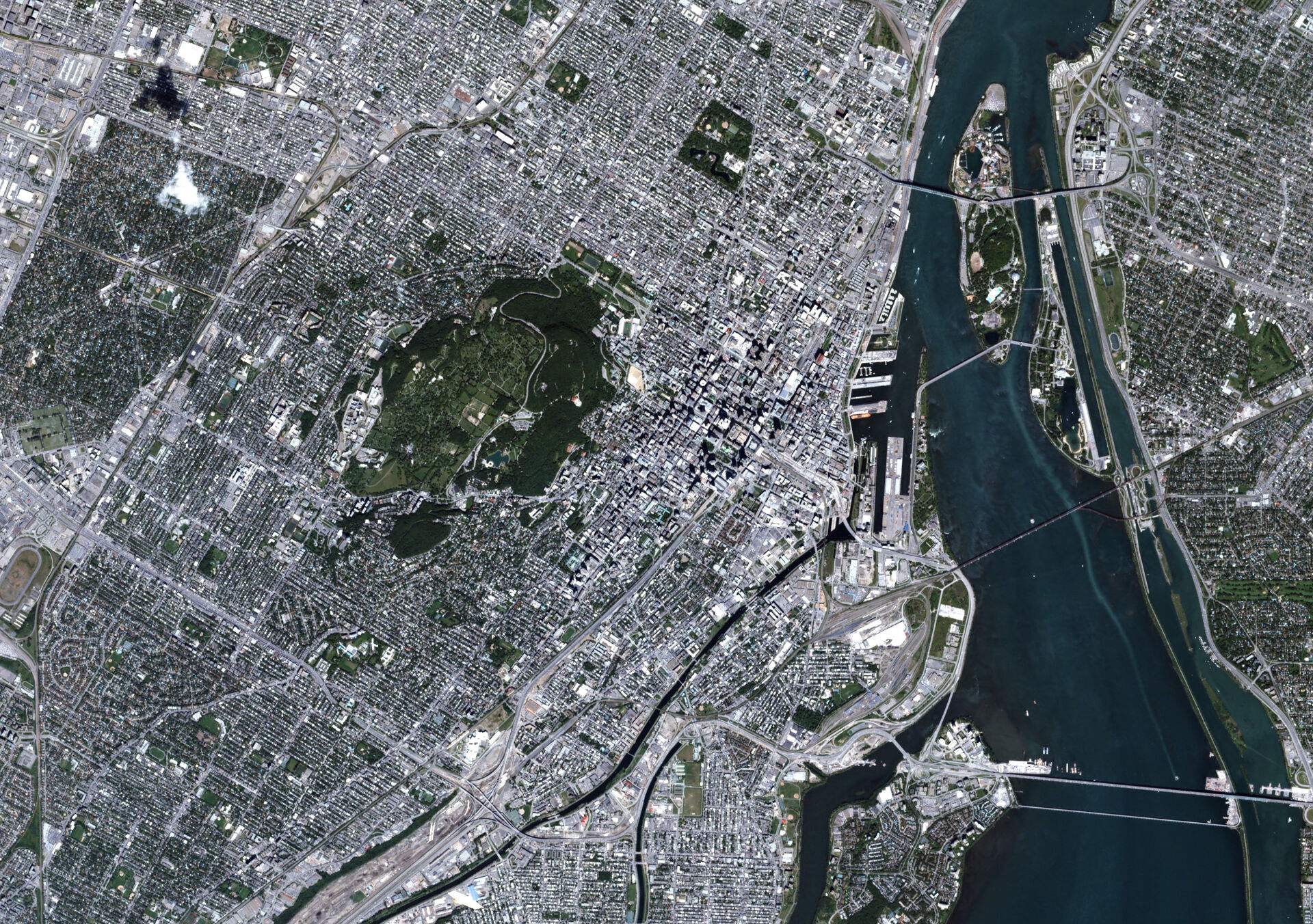
Satellite data can play a crucial role in addressing the lack of comprehensive methane and carbon dioxide point source data. Planet’s upcoming constellation leverages our agile aerospace approach to provide broad coverage across the globe, with high enough resolution to identify emissions at the facility level. This provides a critical layer of information that, when combined with airborne and other third-party data, ensures complete, timely detections.
Comprehensive
Empowers coverage of areas that airplanes or individual people on their own cannot capture at scale.
Repeatable
Overcomes intermittency challenges and captures unexpected events.
Precise
Higher spatial resolution enables the granularity to detect emissions at the source and facility level.

See how Planet’s hyperspectral satellite constellation will illuminate Earth’s surface with greater detail than ever.
A Path Forward
Evidence-Based Climate Action
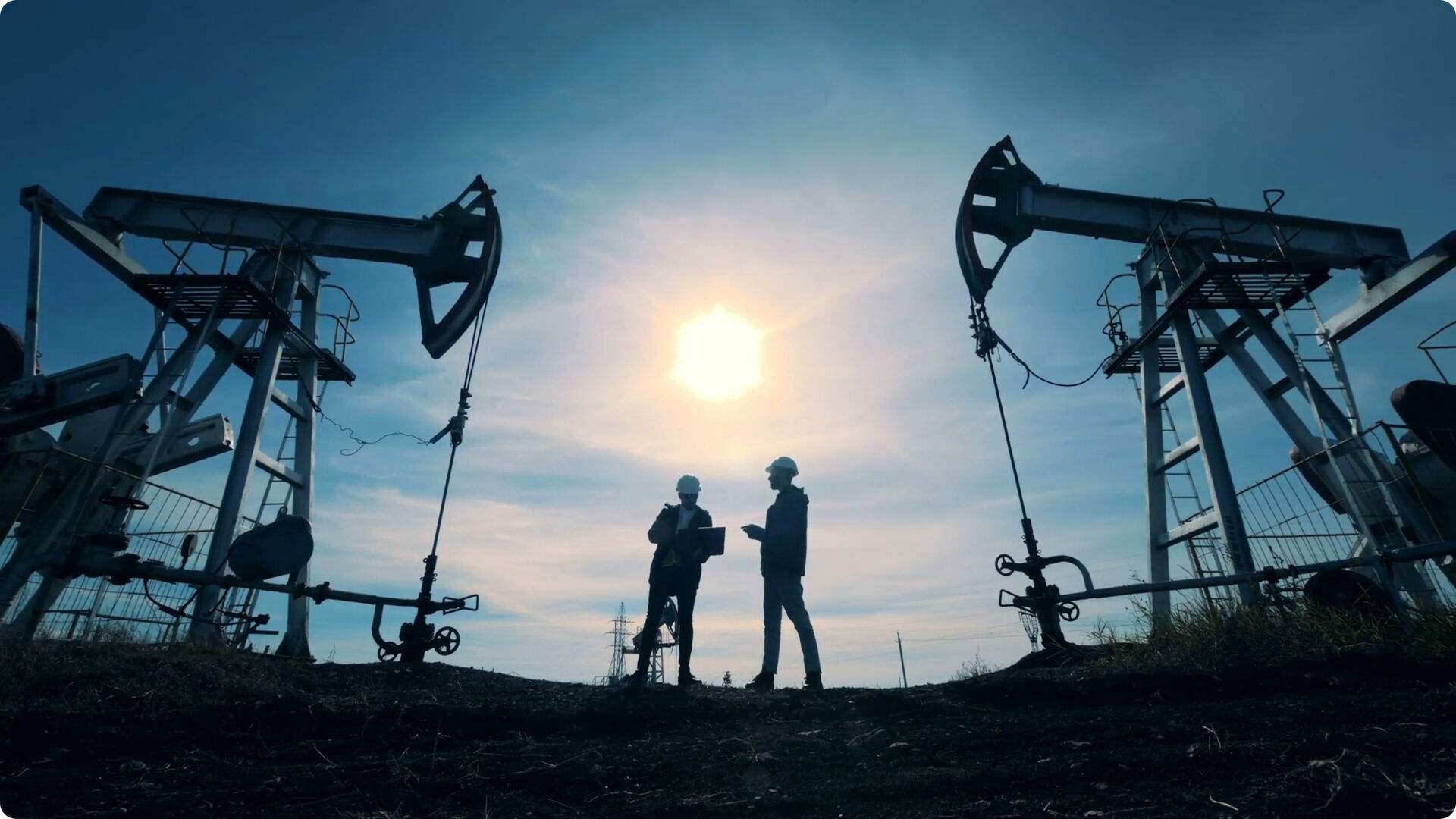
Globally scalable, precise detection of methane and carbon dioxide emissions will encourage timely action by industry to fix costly leaks, mitigate hazards, remediate environmental damage, and remain compliant with emissions standards.
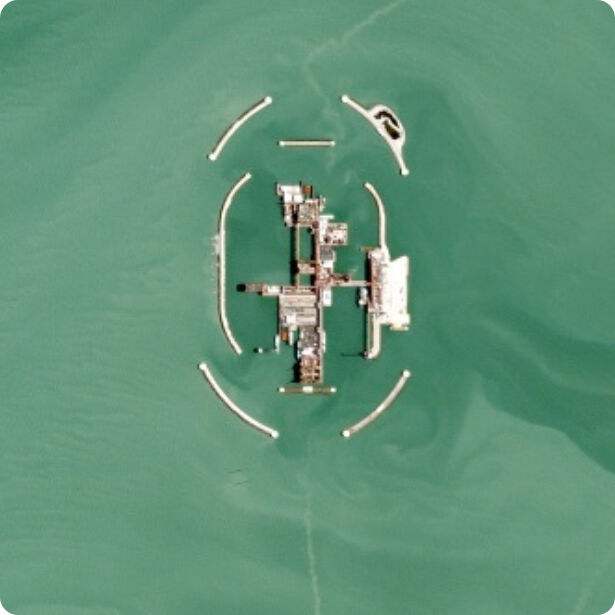
Oil & Gas Leak Detection
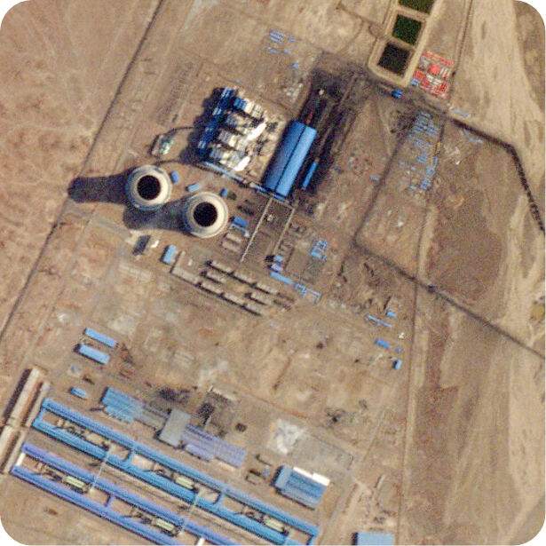
Coal Power Plant Emissions Verification
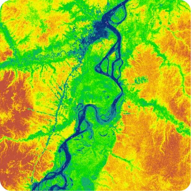
Low Carbon Certification
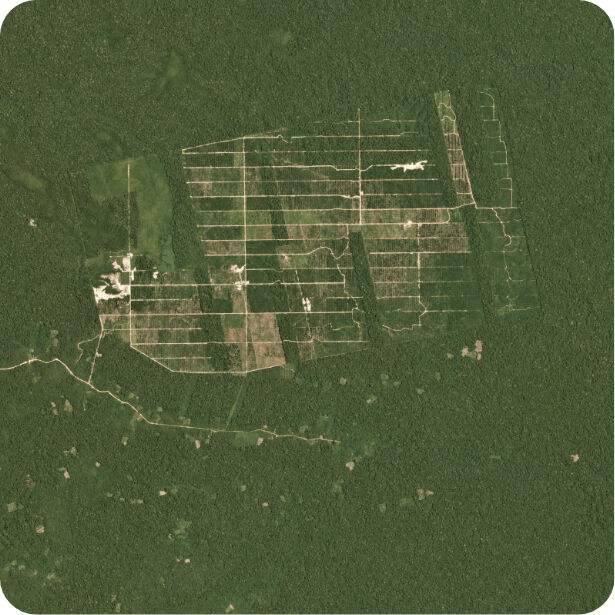
Forest Carbon Management
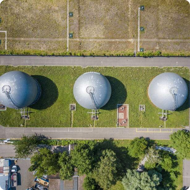
Landfill Gas Capture Improvements
In The News
Read the Latest Stories From Planet
Discover Planet’s work
in sustainability.
© 2024 Planet Labs PBC. All rights reserved.
| Privacy Policy | California Privacy Notice |California Do Not Sell
Your Privacy Choices | Cookie Notice | Terms of Use

