
Detecting Amazon Forest Degradation
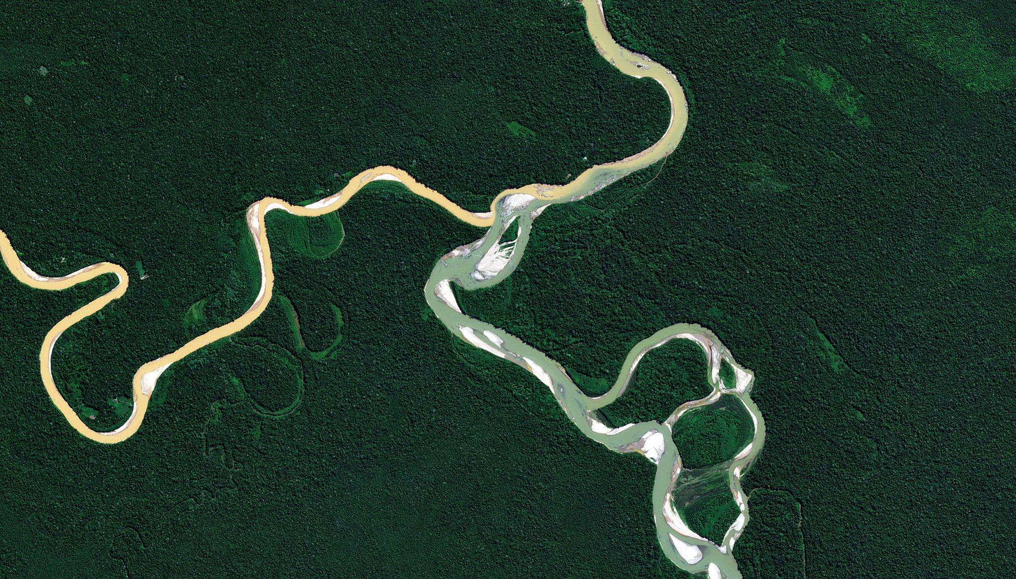
Image above: PlanetScope image of the Amazon rainforest in Peru taken June 5, 2023. © 2023, Planet Labs PBC. All Rights Reserved. Many are familiar with news stories and reports regarding deforestation in the Amazon rainforest. However, some may be surprised to see that it is estimated that forest degradation has actually surpassed the rate of deforestation in the Amazon, contributing to 73% of above ground biomass (AGB) loss in the region. While deforestation can be understood as the conversion of forested land to non-forest uses, like agricultural fields or construction sites, forest degradation refers to the degradation of vital forest ecosystem functions, such as carbon sequestration, supporting biodiverse habitats, and preventing soil erosion. Degradation is often caused by small-scale selective logging, forest fragmentation, understory fires and drought – disturbances that can be hard to monitor both on the ground and at scale. However, a doctoral thesis published from the University of Edinburgh leveraged the use of a novel biomass dataset, collected from logging concessions in Peru and Gabon, to determine the effectiveness of satellite data for tracking small-scale biomass loss through selective logging. Their work used data collected on the ground using Terrestrial Laser Scanning to record ABG changes before and after trees were removed from specific plots. They then explored a variety of satellite data sources, including PlanetScope (accessible through the NICFI Satellite Data Program) and SkySat to see how this work could be scaled to evaluate ABG loss across larger regions. For each satellite sensor, the researcher evaluated band reflectance, NDVI, and texture parameters to detect low-intensity logging over the designated field plots, and their study suggested that “maps predicting AGB show very promising results using a texture parameter from the infrared band of 3 m resolution PlanetScope.” This research project explored a variety of analytical methods and data sources to advance the knowledge of satellite capabilities to detect forest degradation. “Understanding and monitoring spatio-temporal patterns of forest loss has become a complementary tool to national conservation policies to prevent further deforestation. Satellite remote sensing has emerged as the most viable system for estimating changes in forest cover at large spatial scales and in remote regions,” said the author. The full dissertation can be found through the University of Edinburgh.
Ready to Get Started
Connect with a member of our Sales team. We'll help you find the right products and pricing for your needs.