
Estimating River Flow with PlanetScope Data
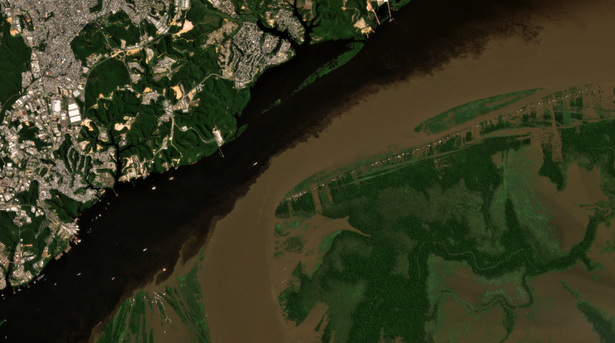
Past studies have explored the use of flowing ice debris to estimate stream velocity with Planet data. However, tropical rivers pose a distinct challenge, due to high cloud cover and turbidity. Adriano Junqueira, of São Paulo State University, led a team to deploy a novel approach in the Araguaia River watershed in Brazil, leveraging JASON-2 altimetry and PlanetScope imagery to estimate surface water extent. The team found that the approach improved upon current methods employed by the Brazilian National Water Agency, which rely on JASON-2 data alone. Junqueira et al. write that the “method can be used to monitor sub-basin scale discharge and to improve water management, particularly in developing countries where the presence of conventional stations is often very limited.” The full study can be found in Science of the Total Environment.
Ready to Get Started
Connect with a member of our Sales team. We'll help you find the right products and pricing for your needs