
From Drones to PlanetScope, Mapping Meddlesome Roses
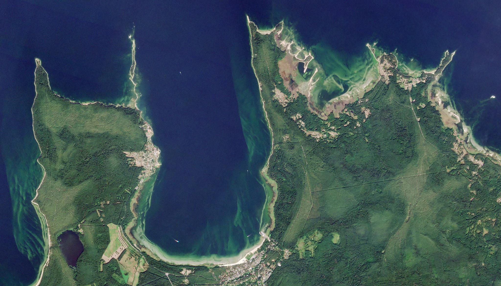
Image above: PlanetScope image of invasive rose study site along the coastline of Vainupea, Estonia taken August 28, 2022. © 2022, Planet Labs PBC. All Rights Reserved. Many are captivated by what is arguably the world’s most romantic flower, the rose, symbol of love and admiration, but sometimes these flowers of passion can come on too strong. One species of rose, Rosa rugosa, looks a little different from the roses we associate with star-crossed lovers, and in their native habitat of eastern Asia, they can be found dotted along beaches. However, following introduction to Europe as an ornamental and sand dune fixing plant in the 19th Century, this species has now spread along the coastlines of the Baltic Sea, outcompeting other plants and having a severe impact on the ecosystem as an invasive species. Now, in a mission to support regional eradication programs, accurate mapping and monitoring tools are essential, and research led by the Estonian University of Life Sciences is leveraging both drone imagery and our PlanetScope satellite data to map the extent of this species along the Estonian coastline. Using RGB-based vegetation indices and 3D canopy metrics with a random forest algorithm, these researchers were able to identify and map Rosa rugosa thickets on beaches. Using the drone imagery, they were able to create a training dataset to predict fractional cover of the plant in the region for PlanetScope data. This study demonstrated the unique approach of extending insights from drone imagery into scaled evaluations of wider areas with PlanetScope data, broadening their regions of ecosystem assessment. The full study can be found in the Journal of Environmental Management.
Ready to Get Started
Connect with a member of our Sales team. We'll help you find the right products and pricing for your needs.