
High-resolution Planet satellite imagery and multi-temporal surveys to predict risk of tree mortality in tropical eucalypt forestry
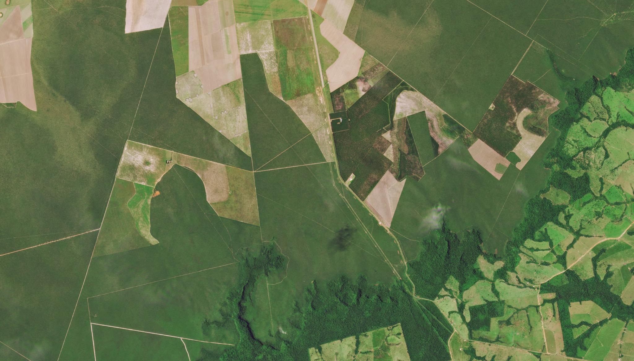
Image above taken March 19, 2022 of eucalypt tree plantations in Mato Grosso, Brazil. © 2022, Planet Labs PBC. All Rights Reserved. Through the NICFI Satellite Data Program, researchers can access Planet’s satellite data to evaluate tropical forest basemaps. In a paper generated by scientists at the University of Maryland, University of Lisbon, the University of Valladolid, the Sustainable Forest Management Research Institute, and the Centro de Iniciativas Empresariais located in Lugo, Spain, Planet’s data, provided by NICFI, was used to predict risk of mortality for eucalypt trees. Leveraging the PlanetScope imagery, these researchers evaluated forest mortality patterns of an area of eucalypt trees in Mato Grosso, Brazil known to be severely impacted by a regional drought in 2019. By analyzing the change vectors in Planet’s forestry mosaics, and observing their ground surveys of tree mortality collected from the same time, this group was able to model the probability of eucalypt tree mortality given certain drought conditions. “More than ever satellite image missions represent an increasingly useful data stream for the understanding and tackling of climate change effects such as droughts and forest fires, seeking for the enforcement of policies towards a sustainable and traceable use of ecosystem services in tropical regions,” said the authors. The full study can be found in the Journal of Environmental Management.
Ready to Get Started
Connect with a member of our Sales team. We'll help you find the right products and pricing for your needs