Mapping and Estimating Forest Area and Aboveground Biomass
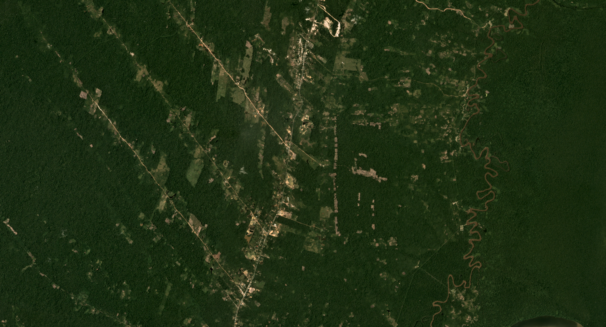
Forest area and aboveground biomass estimates represent two fundamental parameters in forest resource assessments and for measurement, reporting, and verification under the United Nations REDD+ program. In research led by Erik Næsset, various remote sensing sources are comparatively analyzed to determine their precision in generating these estimates, aiming to improve upon the often insufficient data collected in field surveys. Næsset and team found that RapidEye data improves precision more than any other remote sensing data source analyzed. Published in Remote Sensing of Environment, the full paper can be viewed here.

Ready to Get Started
Connect with a member of our Sales team. We'll help you find the right products and pricing for your needs.


