
Monitoring Walruses from Space
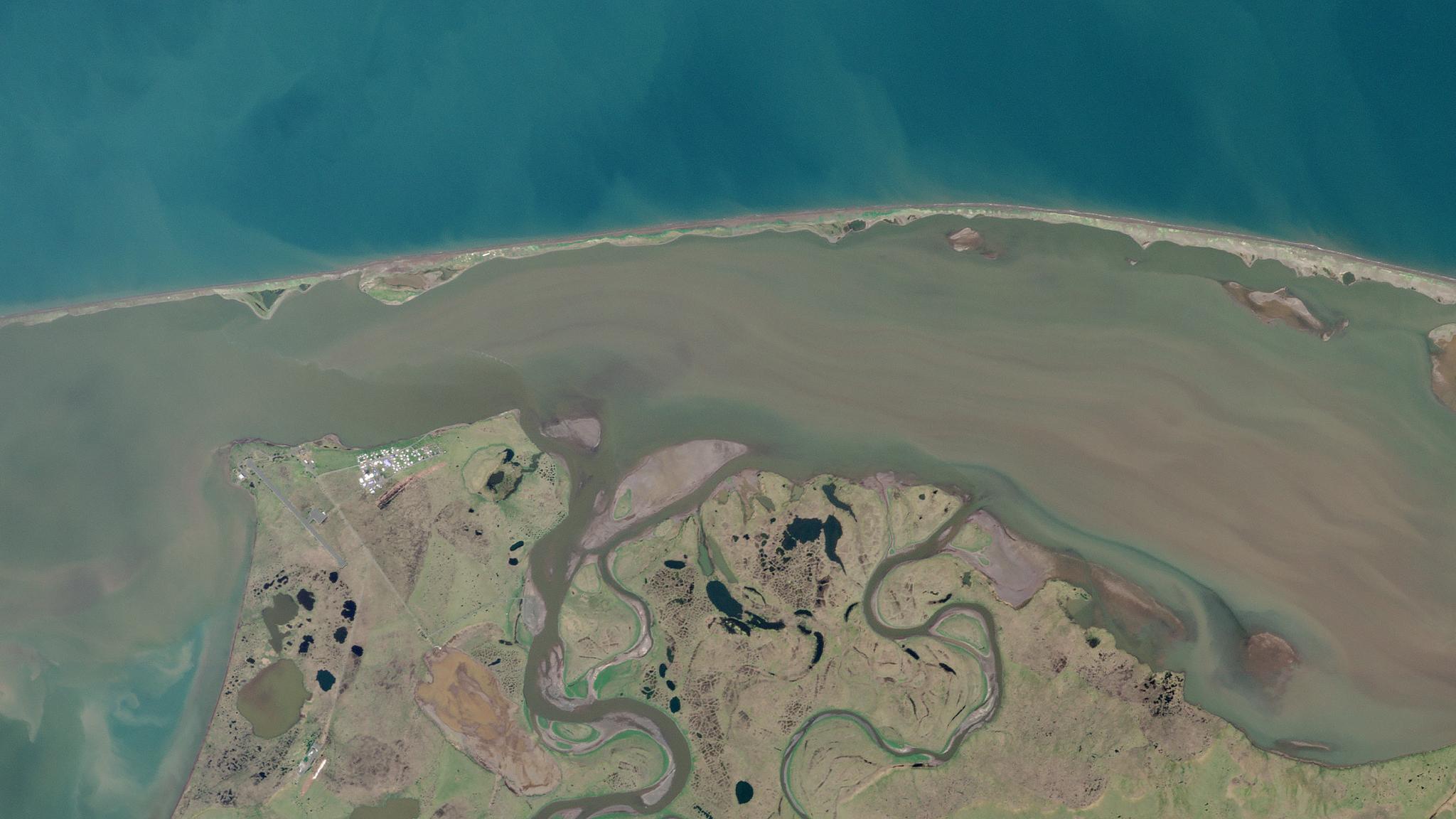
Above Image: Point Lay, Alaska research site @ 2021, Planet Labs, Inc. Please note that walruses may not be present in this image, but can be seen in the referenced research paper. Walruses are coming ashore along the coasts of Alaska more frequently and in increasing numbers due to the decline in Arctic sea ice from climate change. They gather in groups called “haulouts,” which can consist of many thousands of walruses at any given time. On sea ice far from shore, they maintain relatively undisturbed patterns of feeding and resting. However, haulouts on the coast present dangers to walruses. Human activity can easily scare walruses, causing them to stampede into the ocean in droves and killing many in the process. Anthony Fischbach and David Douglas from the U.S. Geological Survey in Alaska looked at PlanetScope, along with other optical datasets and TerraSAR-X, to monitor walrus haulouts in a remote coastal region. They then compared their results with drone imagery acquired over the same region and time period. Fiscbach and Douglas found the walrus haulouts to be readily visible in satellite imagery based on their “distinctive red-brown coloration” relative to the surrounding beach. While clouds are often tricky at these high latitudes, the frequent revisit rate of PlanetScope provided much more utility for monitoring than NASA’s Landsat satellite. TerraSAR-X provided additional data, allowing walruses to be detected through clouds and in polar night. “These findings suggest that satellite reconnaissance may provide a tool for monitoring walrus haulout occupancy and dynamics, as may be required by resource managers,” they note in their paper. The full study can be found in Remote Sensing.
Ready to Get Started
Connect with a member of our Sales team. We'll help you find the right products and pricing for your needs.