
Nation-wide Carbon Stock Map Created with SkySat
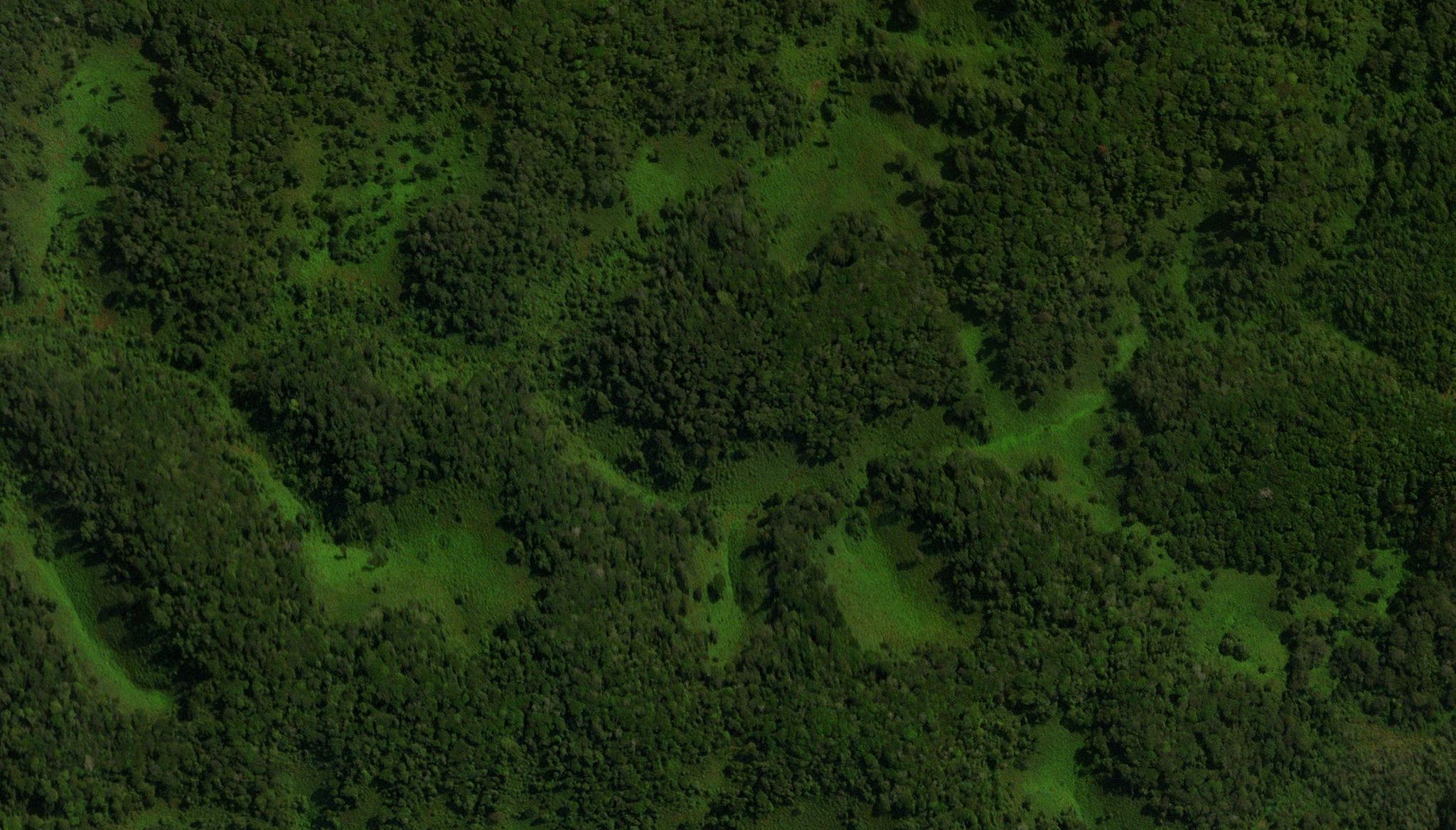
Image above: SkySat image of the Nyungwe National Park in Rwanda taken September 23, 2022. © 2022, Planet Labs PBC. All Rights Reserved. Using Planet’s SkySat data, a team of researchers have generated a novel approach to mapping the nation-wide tree-level carbon stock of Rwanda, and this model can be used for countries around the world! In recent years, governments and organizations have been working to account for global carbon stocks in an effort to protect carbon sinks and combat climate change. And while there has been significant work to evaluate, quantify, and monitor forests at national levels, many trees that grow outside of forest ecosystems, like savannahs and agro-forests, go unaccounted for. To address this challenge using Planet’s tasking satellites, a team of researchers led by the University of Copenhagen, Université Paul Sabatier, Université Paris Saclay, University of Rwanda, Ministry of the Environment in Rwanda, and others, generated a national scale map of each individual overstory tree in the country. Leveraging deep learning methods, the scientists demonstrated that their trained model could assess SkySat imagery to automatically detect tree coverage in a variety of landscapes. In Rwanda, they showed that 72% of all mapped trees in the country were actually located in farmlands and savannahs, helping to better account for carbon stocks in the nation. When testing for model transferability, they found that they could also apply it to aerial images from California and France. While they suggest that accurate carbon stock predictions still need local adjustments with field data, they also demonstrated that their model still delivered “realistic results without any local training or calibration” for France and California. Overall, this novel research supports the urgent need for effective monitoring and management of restoration activities around the world. The full study can be found in Nature Climate Change.
Ready to Get Started
Connect with a member of our Sales team. We'll help you find the right products and pricing for your needs