
Observing Mixed Cover Crops from Space
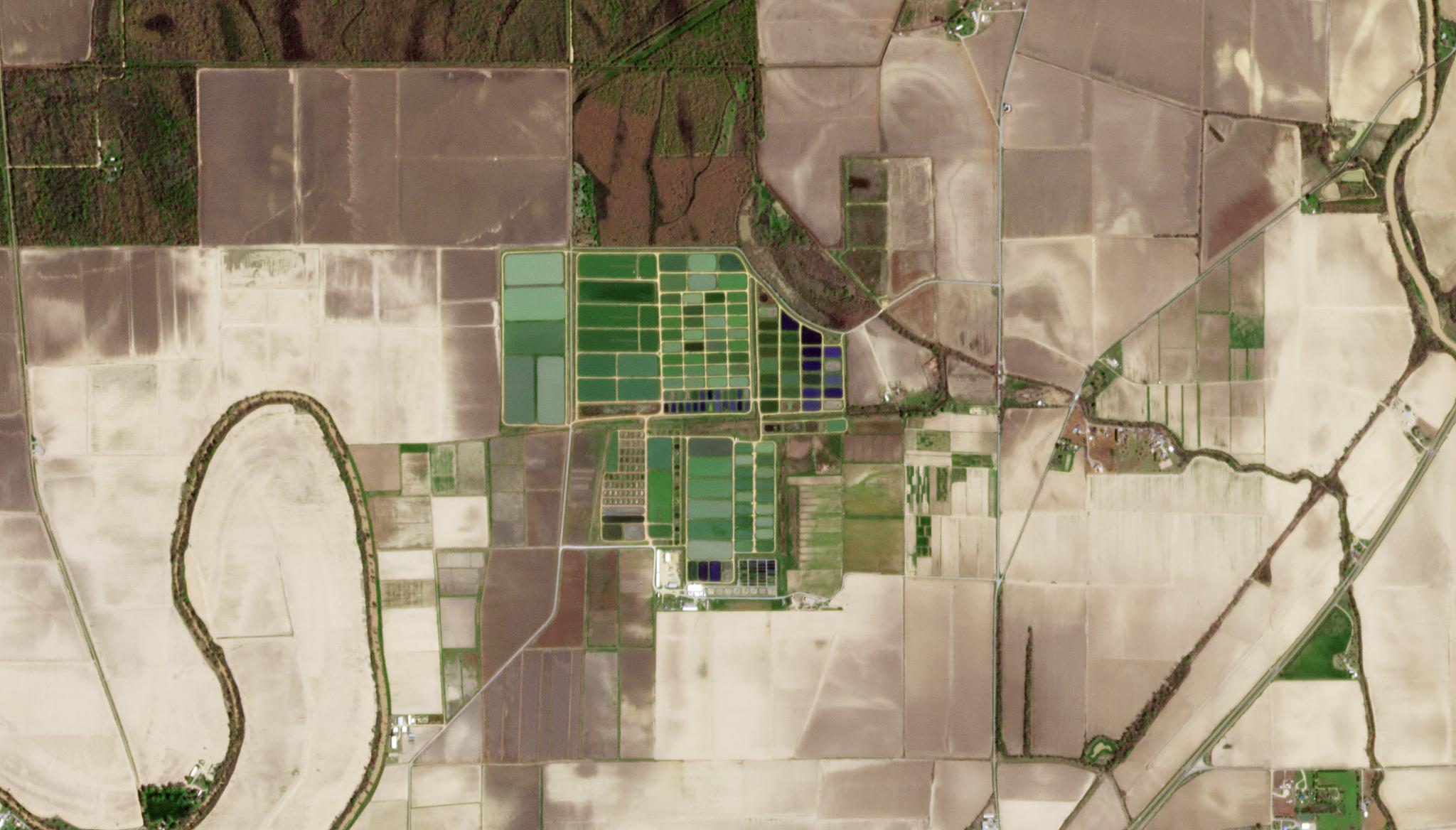
Image above: PlanetScope image of crop biomass estimation site in Washington County, Mississippi taken April 9, 2022. © 2022, Planet Labs PBC. All Rights Reserved. In agricultural fields, cover crops are planted at certain times of the year to cover up the farming soil. These plants are not set to be harvested down the line, but rather serve to protect the soil itself for future agricultural commodities. These cover crops offer a myriad of benefits for agricultural soils and the environment, including reducing soil erosion during fallow periods, serving as weed and pest control, and recycling nutrients and water. The mix of cover crop species can also serve additional functions, for instance the balance of legume cover crops and grasses can help balance the carbon to nitrogen ratio in decomposing materials in the soil. There has been increased interest in adding cover crop biomass to agricultural lands over the last decade. In fact, the United States Department of Agriculture increased funding for cover crop initiatives by up to 33% in 2015 compared to 2007. With this in mind, scientists have demonstrated that satellite imagery can help farms better understand their cover crop biomass and learn how to cultivate successful fields. In one study, researchers from the United States Department of Agriculture leveraged PlanetScope imagery to analyze four fields with varying cover crop types. Using the reflectance bands (blue, green, red, and infrared) and vegetation indices, their “results showed that mixed cover crop increased biomass production up to 24% higher compared to single species rye.” These insights suggested that combining multiple cover crops in each field could be more beneficial for the soil and surrounding environment than only planting one species. Find the full study in Smart Decision Systems for Digital Farming.
Ready to Get Started
Connect with a member of our Sales team. We'll help you find the right products and pricing for your needs