
PlanetScope and Deep Learning Methods Used to Map Wildfires In South America
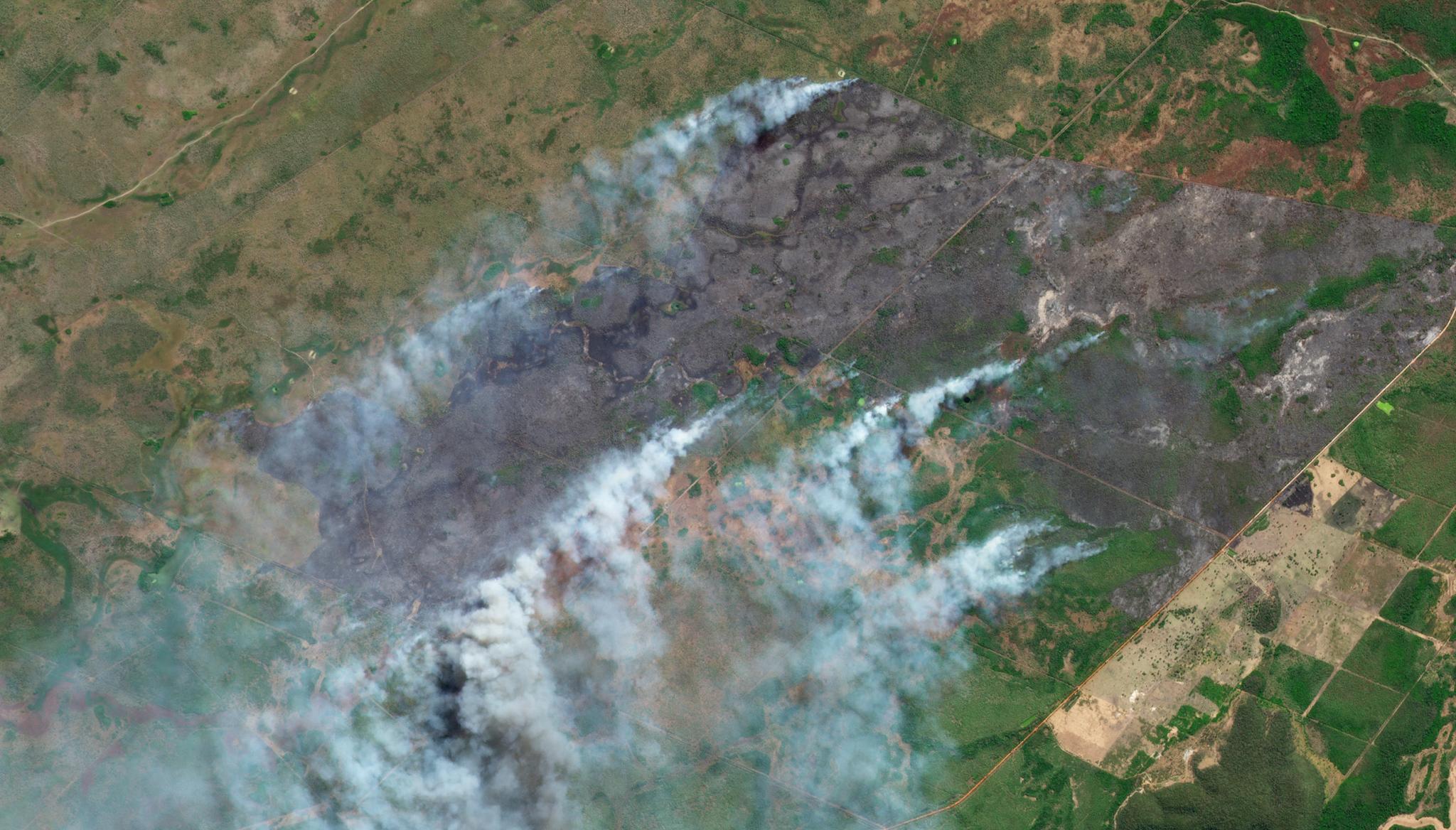
Image above: PlanetScope image of a wildfire in Mato Grosso do Sul, Brazil taken August 7, 2021. © 2021, Planet Labs PBC. All Rights Reserved. Pantanal is a natural region of South America which encompasses the world’s largest wetlands. Situated between the Mato Grosso area of Brazil and the borders of Bolivia and Paraguay, these grasslands become flooded seasonally. These floods generate an extremely heterogeneous ecosystem where some parts are perpeturally flooded while others remain dry. This patchwork environment (full of small fragmented sections) can make it difficult for scientists to monitor large-scale ecosystem changes, including the recent impacts of catastrophic wildfires in the region. However, scientists from Federal University of Mato Grosso do Sul University of Waterloo, Western Sao Paulo, Federal University of Rio de Janeiro, and Federal University de Minas Gerais have demonstrated how to map and assess the impacts of wildfires in these wetlands with PlanetScope data. According to these researchers, previously available satellite datasets of the region offered medium- to low-spatial resolution imagery ranging from 30 m to 1 km resolution, but with the combination of PlanetScope’s higher 3 m resolution data and deep learning methods, they were able to generate the most extensive maps of burned areas in the Pantanal to date. Their research also tested the capabilities of a variety of deep learning networks with PlanetScope imagery to determine the most accurate method for evaluating wildfire-caused burn scars in both the Pantanal region and the near-by Amazon rainforest. “Methods that provide information about burned areas using high-spatial-resolution images may return important information related to the quantification of emissions from fires, mainly from small and fragmented burned areas,” said the authors. “[It] also can contribute to a better understanding of the causes, planning and impact analysis, restoration strategy definition, and fire management assessment.” The full study can be found in the International Journal of Applied Earth Observation and Geoinformation.
Ready to Get Started
Connect with a member of our Sales team. We'll help you find the right products and pricing for your needs