
PlanetScope Data and Deep Learning Models Detect Invasive Plant Species
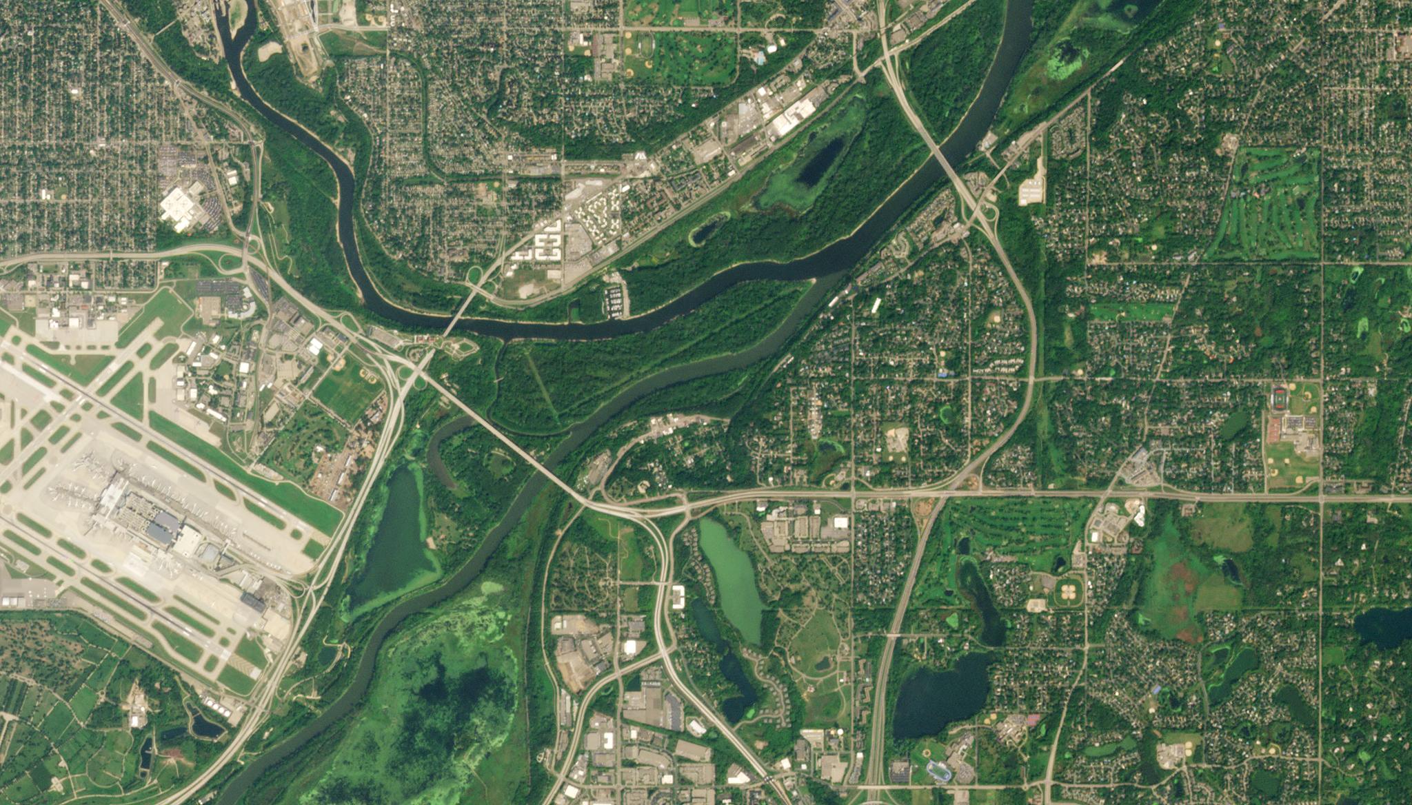
Image above: PlanetScope image over Mississippi River in St. Paul, Minnesota captured September 8, 2022. © 2022, Planet Labs PBC. All Rights Reserved. Invasive species can cause devastation to ecosystems and significant economic damage to industries, such as agriculture. Effective management is necessary to stop these species from wreaking havoc across landscapes, but traditional techniques for monitoring these invasions, such as taking ground surveys, have been unable to keep up with the rapid proliferation of invasive species around the world. Satellite data has offered scientists and managers an effective method to monitor invasive plant species at scale, and this satellite data has been used to generate predictive models regarding the impacts of these species. This year, researchers at the University of Minnesota used PlanetScope data and Worldview-2 satellite data to detect the invasive plant species, leafy spurge (Euphorbia virgata) across Minnesota in the United States. This research group developed a convolutional neural network with Planet imagery and enhanced it with a long short-term memory layer with Planet time series data related to species phenology in order to increase the accuracy of the model. Using PlanetScope’s spectral bands of green, red-edge and near-infrared, the research group was able to differentiate the invasive plant species from other vegetation. Overall, the research identified phenological periods that were key to predicting outbreaks of leafy spurge, and they demonstrated how deep learning models can identify species with Planet data when it is combined with time series image data. “Our results will help inform future management efforts using remote sensing to identify invasive plants, especially across large-scale, remote and data-sparse areas,” said the authors. The full study can be found in Remote Sensing in Ecology and Conservation.
Ready to Get Started
Connect with a member of our Sales team. We'll help you find the right products and pricing for your needs.