
PlanetScope Data Helps Research Global Seasonal Dynamics of Inland Open Water and Ice
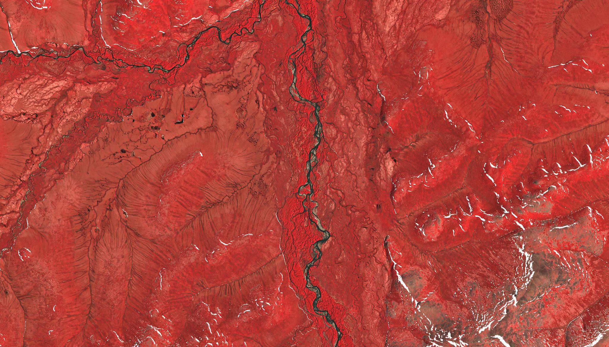
Above: Near-infrared PlanetScope image taken June 12, 2019 of research study site over the Siberian Braided River. © 2019, Planet Labs PBC. All Rights Reserved. In high latitudes, seasonal temperature changes cause dramatic variations in water and ice presence in terrestrial areas like lakes and river systems. This water and ice is vital to maintaining balanced biodiverse environments and critical ecosystem services, but the changing seasonal dynamics of water and ice extent are not well understood. Employing time-series reference data from PlanetScope and Sentinel-2 satellite data, researchers from the University of Maryland, State University of New York, and The Nature Conservancy, created a probability sample estimating inland water presence. By using PlanetScope’s high-cadence imagery, the researchers were able to identify land, water, and ice presence, and the high-cadence of our imagery allowed the scientists to gain monthly data despite common cloud cover in the region. This research provided the first global area estimates quantifying the seasonal change of inland water and ice extent, and the findings concluded that globally, 23% of the total area of inland water was permanent and open, 41% of the total area with water was permanent water with seasonal ice cover, and 36% consisted of water to land transitions. The authors noted that these insights from satellite derived datasets “provided unprecedented potential to examine surface water and ice dynamics for 2016 forward and to investigate the drivers and impacts of this variability.” The full study can be found in Remote Sensing of Environment.
Ready to Get Started
Connect with a member of our Sales team. We'll help you find the right products and pricing for your needs