
PlanetScope Data Leveraged to Capture Insights On Rapid Urban Change Impacting Watersheds; Researchers Generate Rapid Digital Elevation Model
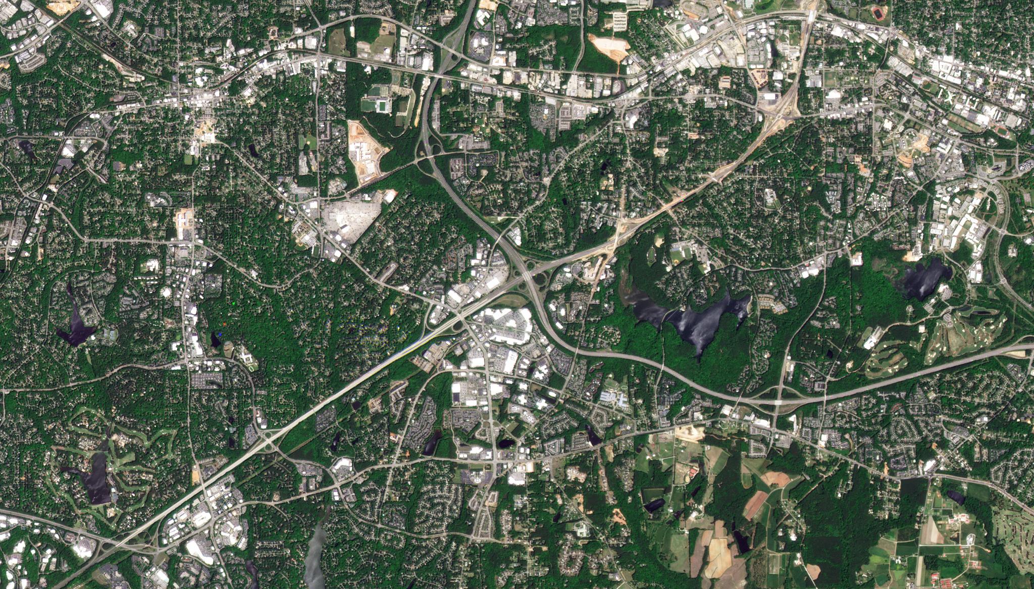
Image above: Planet image of Walnut Creek Watershed in North Carolina taken April 25, 2022. © 2022, Planet Labs PBC. All Rights Reserved. As more people move to cities, managers are having to think about ways to ensure urban sustainability. Water systems, in particular, can be dramatically impacted in the wake of rapid urbanization as topographic changes can alter stream channels, increase flooding, and even contribute to the degradation of water quality. However, decision-makers can now rely on geospatial models with relevant satellite data to help manage safe and sustainable watersheds in these urban areas. With this in mind, scientists from North Carolina State are using PlanetScope data along with insights from Google Earth Engine, and OpenStreetMap to create frameworks with land cover classification that can identify locations of topographic change to help predict future water system changes. These frameworks can help maintain Digital Elevation Models (DEM) over large areas that can identify forestry clearings and new building development near watersheds. Their study focused in particular on the Walnut Creek Watershed in Wake County, North Carolina. Leveraging PlanetScope data, their simulation model showed changes in surface water flow for the area, and overall, they presented a Rapid-DEM framework to prioritize areas of high likelihood of urban topographic change for the future. “We consider this framework a first step in developing a robust, continuous DEM updating system that can be broadly deployed to capture dynamic landscapes beyond urban regions, such as coastal areas affected by storms and sea-level rise,” said the authors. The full study can be found in Urban Remote Sensing.
Ready to Get Started
Connect with a member of our Sales team. We'll help you find the right products and pricing for your needs