
PlanetScope Data Used to Generate High Resolution, Annual Maps of Field Boundaries for Smallholder-Dominated Croplands at National Scales
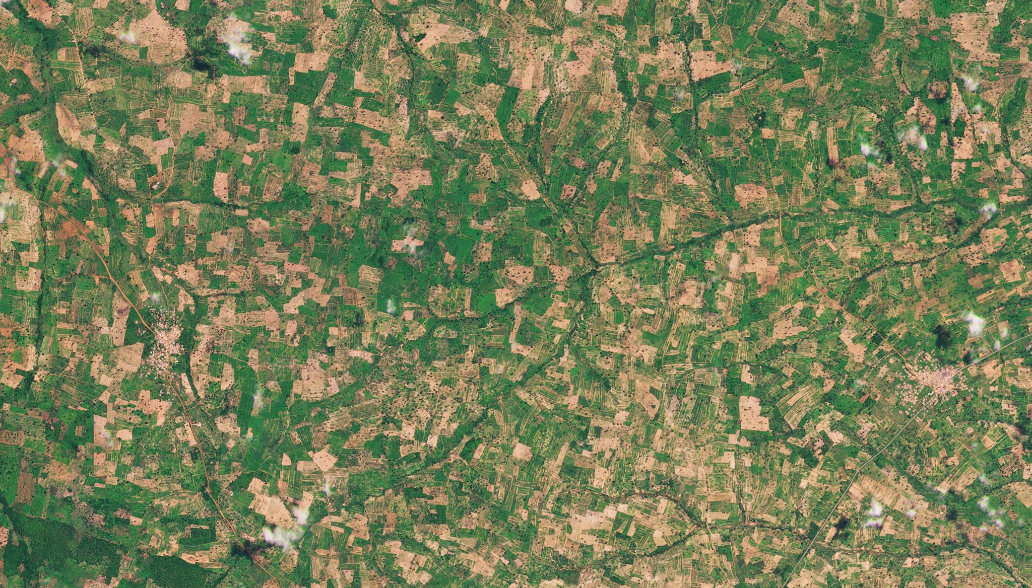
Above: Planet image of smallholder farms in Ashanti, Ghana taken May 11, 2022. © 2022, Planet Labs PBC. All Rights Reserved. Ensuring food security globally while maintaining ecosystem health and socioeconomic well-being, are key sustainable development goals. Across the planet, farmers, researchers, and organizations are working on this important agenda, but they are challenged by the lack of consistent agricultural datasets. In regions with small-holder farmers, there is a spatial and temporal mismatch between satellite mapped croplands and actual on-the-ground field boundaries. These maps are also infrequently updated and lack high-quality labels that can help train machine learning classifiers to analyze the data. But to address these issues, researchers from Clark University, the University of Connecticut, the University of California Santa Barbara, and independent researchers from the United States and Kenya designed an approach to analyze data of the smallholder-dominated croplands of Ghana. Their research converted Planet’s daily imagery of the region into two cloud-free composites of the primary growing season and the dry season. This helped improve classification accuracy by providing seasonal contrast. They then created a unique platform to assess label error which was used to train a Random Forests classifier to identify the most informative training sample for the data and minimize label error. Their results provided a proof of concept demonstrating a transferable approach for creating scalable maps of crop field boundaries in smallholder-dominated countries, mitigating errors and increasing analytical capabilities with machine learning. “The approach we used to develop these maps includes a novel procedure for compositing daily PlanetScope imagery, and follows recommended best practices for training and assessing machine learning models. Using PlanetScope data enabled us to make a country-wide, high-resolution, two-season catalog of imagery for a single year, even over areas with frequent cloud cover,” said the authors. The full study can be found Frontiers of Artificial Intelligence.
Ready to Get Started
Connect with a member of our Sales team. We'll help you find the right products and pricing for your needs.