
PlanetScope Data Used to Improve Ground-level Air Quality Prediction with Artificial Intelligence
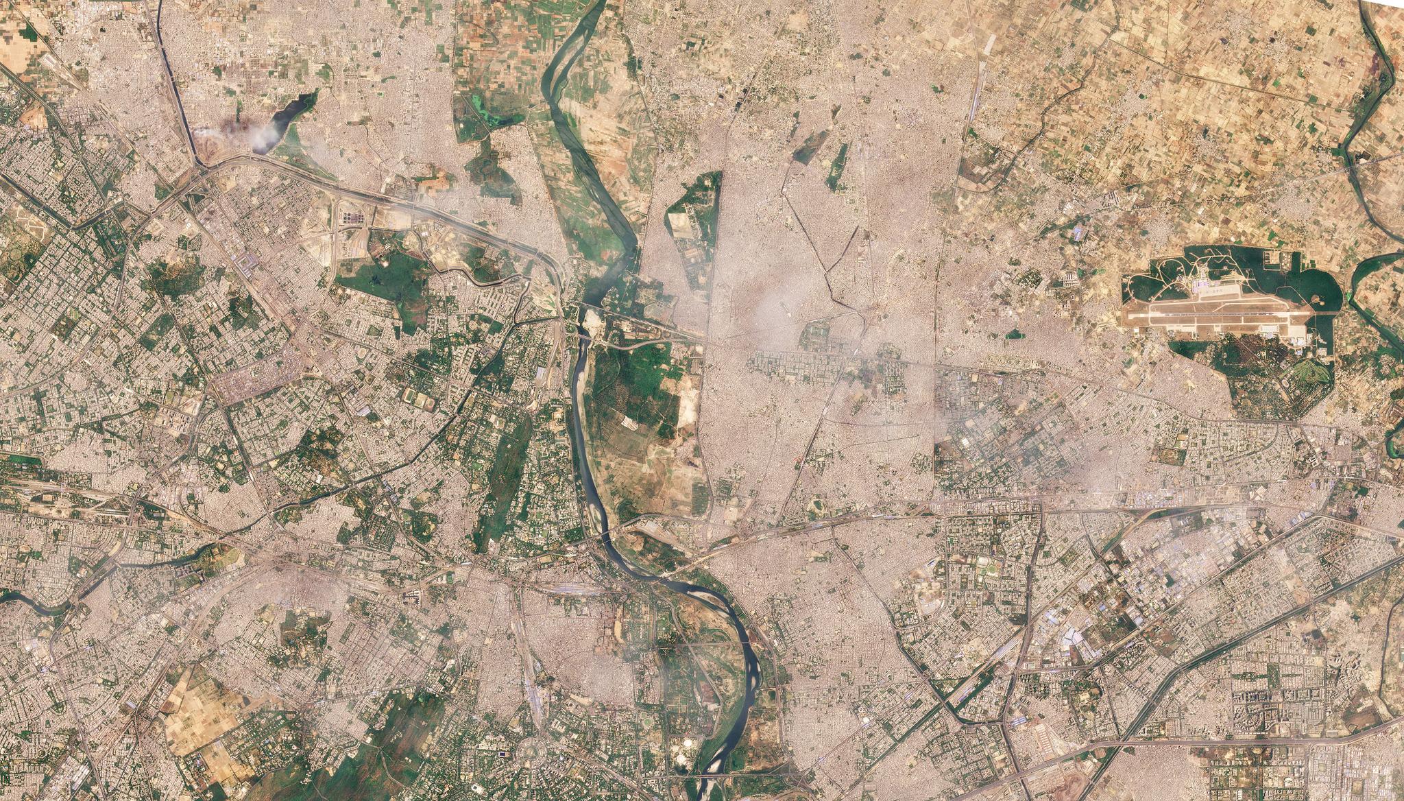
Image above: PlanetScope image of Delhi, India taken April 27, 2022. © 2022, Planet Labs PBC. All Rights Reserved Fine particulate matter 2.5 (PM2.5) found in the air is made up of organic compounds including water, metals, and dust, and this often causes air to appear hazy in areas with significant levels of car, construction, or factory pollutants. This matter is reported to be hazardous to human health and cause a range of ailments from asthma to morbidity due to heart and lung complications. Predicting ground PM2.5 levels in urban environments can help analysts and managers mitigate the negative impacts of this pollution and support cleaner environments in the future. Researchers at Duke University and the California Air and Research Board are using PlanetScope’s high spatial and temporal resolution data to identify dangerous particulate matter in Delhi and Beijing while leveraging analytical techniques in artificial intelligence. The researchers developed a novel framework called Spatiotemporal Contrastive Learning (SCL) to pre-train a Convolutional Neural Network (CNN) with our datasets. By building this technique, a large amount of unlabeled high resolution imagery is able to be processed by the learning system for training purposes, enabling the neural network to evaluate air pollution both broadly and at fine scales as compared to ground sensors. This research demonstrated a powerful technique to build spatial maps of PM2.5 in urban regions to support air quality research. “Our results show that regular contrastive learning and our SCL frameworks both manage to better capture spatial variation of ground-level PM2.5 concentrations compared to traditional initialization schemes, and that this performance gap increases as the number of ground sensors decreases, implying that the approach will be even more valuable in cities with fewer ground sensors,” said the authors. The full study can be found in the Science of Remote Sensing.
Ready to Get Started
Connect with a member of our Sales team. We'll help you find the right products and pricing for your needs.