
PlanetScope Used to Map Tree Species in Urban Areas
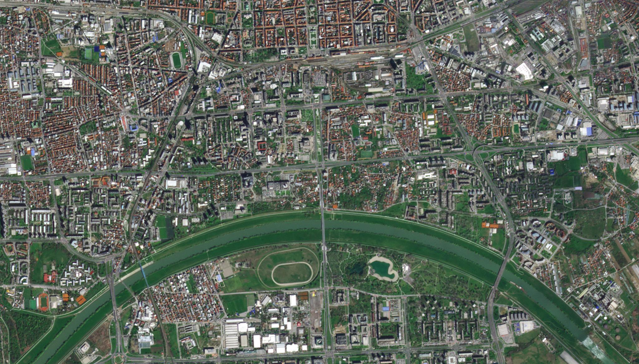
Image above: PlanetScope image of urban areas and green spaces in Zagreb, Croatia taken April 1, 2023. © 2023, Planet Labs PBC. All Rights Reserved. Many of us are familiar with that runny nose, itchy eye, and stuffy sinus sensation so often associated with seasonal allergies and the release of tree pollen. While it may cause only minor symptoms in some, reports have shown that asthma and allergic rhinitis alone result in over 100 million lost workdays and missed school days annually across Europe. Having a deeper understanding of the location of allergenic tree species in cities could help urban planning managers make data-informed decisions on the distribution of certain tree species, better prioritizing public health. Researchers from the University of Zagreb in Croatia and the Croatian Forest Research Institute have leveraged PlanetScope satellite data to map and identify allergenic tree species in their capital city of Zagreb. The team noted that identifying tree species in urban areas can be challenging due to the small patchiness of green spaces in cities. “To overcome these issues, PlanetScope (PS) satellite imagery offers significant benefits compared with moderate or high-resolution RS [remote sensing] imagery due to its daily temporal resolution and 3 [meter] spatial resolution,” said the authors who combined machine learning techniques and PlanetScope data to identify tree species in these small urban areas. Their study further demonstrated that by using multitemporal eight-band PlanetScope imagery, as opposed to single-date PlanetScope imagery, they were able to reach an overall detection accuracy of 73.13% for tree species. They suggest that future research should also integrate PlanetScope data with aerial photography or LiDAR data to enhance the classification accuracy of tree species in complex urban spaces. The full study can be found in Forests.
Ready to Get Started
Connect with a member of our Sales team. We'll help you find the right products and pricing for your needs.