
Semi-arid Rangeland Phenology Revealed with the Planet Dove Constellation
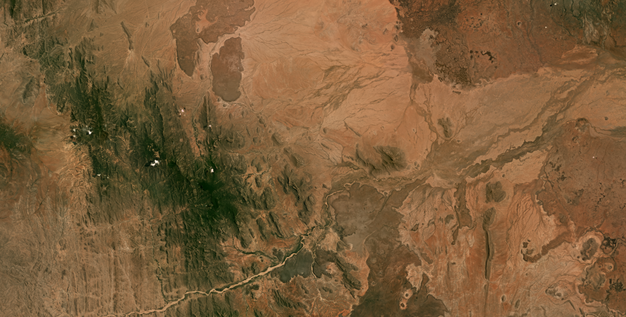
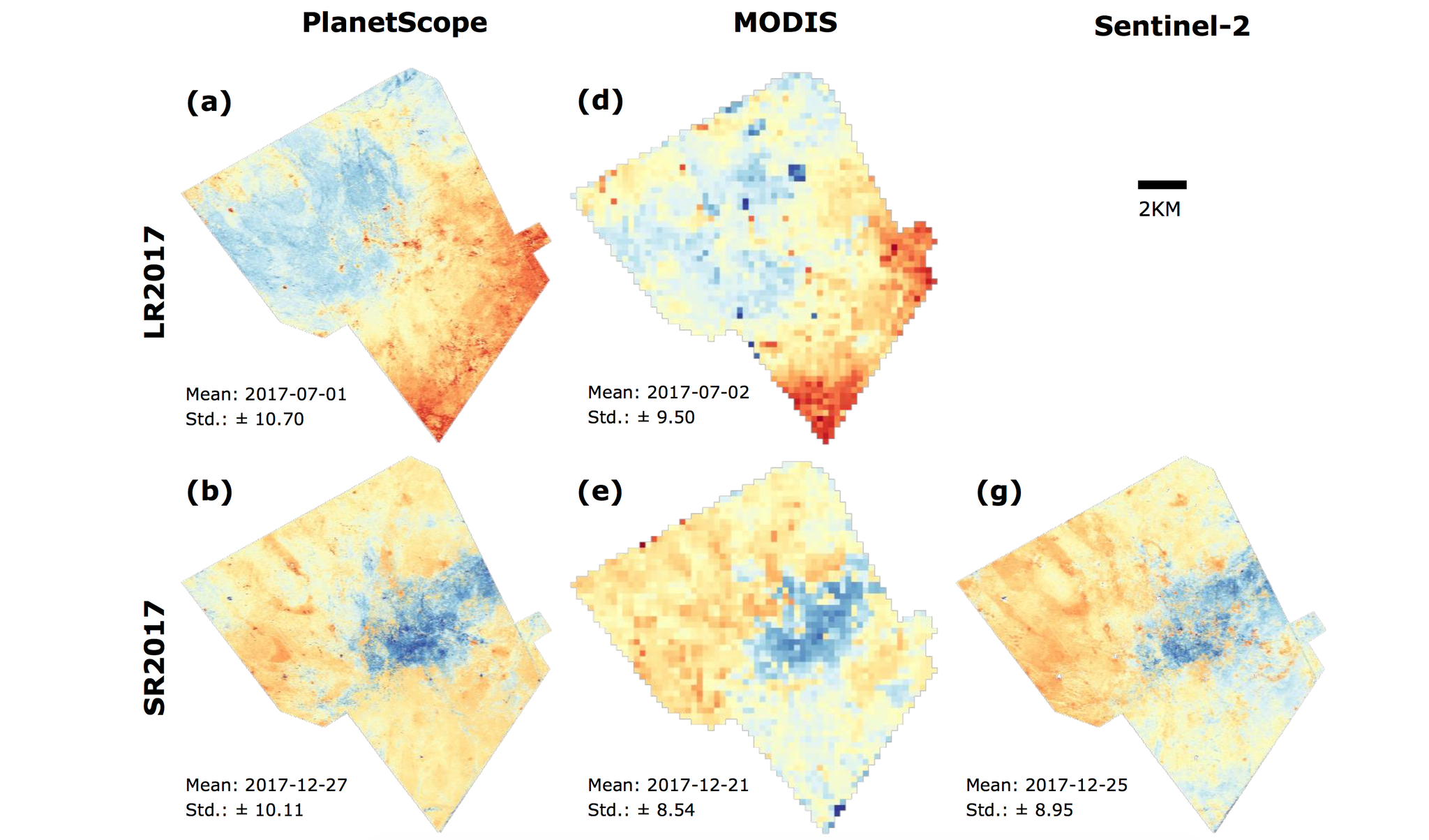
Temporal resolution is one of four axes by which one may judge the value of a remote sensing data source. Unlike spatial, spectral and radiometric resolution, temporal resolution can be used to decompose the day-to-day dynamics of ecosystems, revealing their phenology—the natural processes by which ecosystems (particularly vegetation) change over time. A better temporal understanding of how ecosystems respond to stressors could improve our ability to mitigate ecological stressors in the future. As a portion of his Master’s Thesis at the University of Twente, Yan Cheng evaluated Planet’s Dove constellation, as well as Sentinel-2 and MODIS data to explore the phenology of semi-arid rangelands in Kenya, which are a matrix of grassland, shrubs and savannah habitat. Cheng found almost twice as many cloud-free Dove observations as for Sentinel-2 and MODIS. He also found that the maximum gap (in days) between two Planet images was shorter than for Sentinel-2 and MODIS. Cheng reported that Dove images “are effective to retrieve fine-scale patterns of vegetation phenology for semi-arid rangelands.” Cheng further noted that the images “can provide more detailed insight into the subtle differences of phenology within a small region and can be easier linked to individual species and ground point measurements (i.e. field camera and flux tower data) than other coarser-resolution images. This could lead to a promising improvement in spatially detailed understanding of semi-arid rangeland ecosystem at the local scale.” Read Cheng’s complete thesis, here. [caption id="attachment_143481" align="aligncenter" width="3042"]
Ready to Get Started
Connect with a member of our Sales team. We'll help you find the right products and pricing for your needs