
Sub-daily Dove Imagery Used to Measure River Velocity
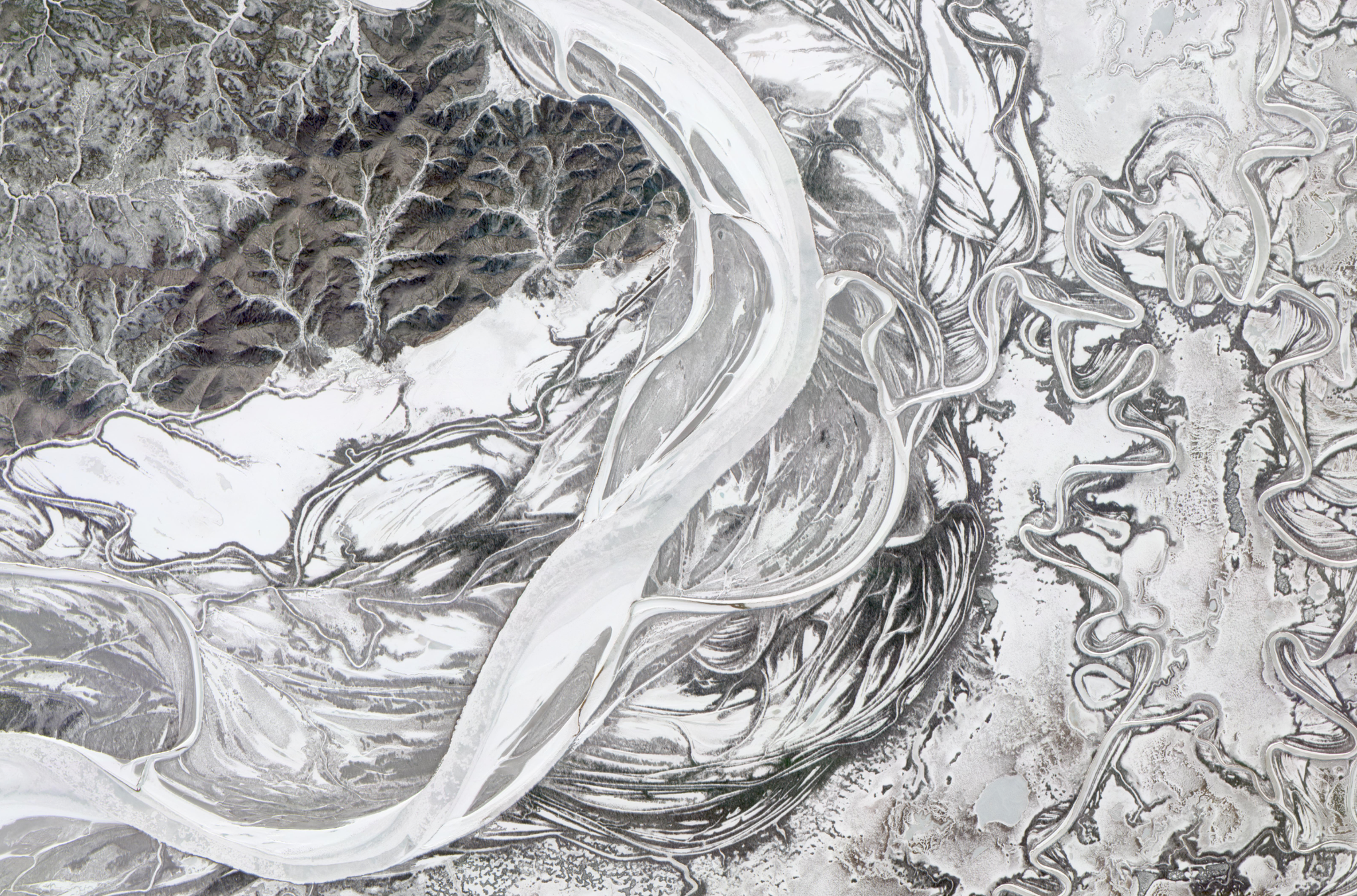
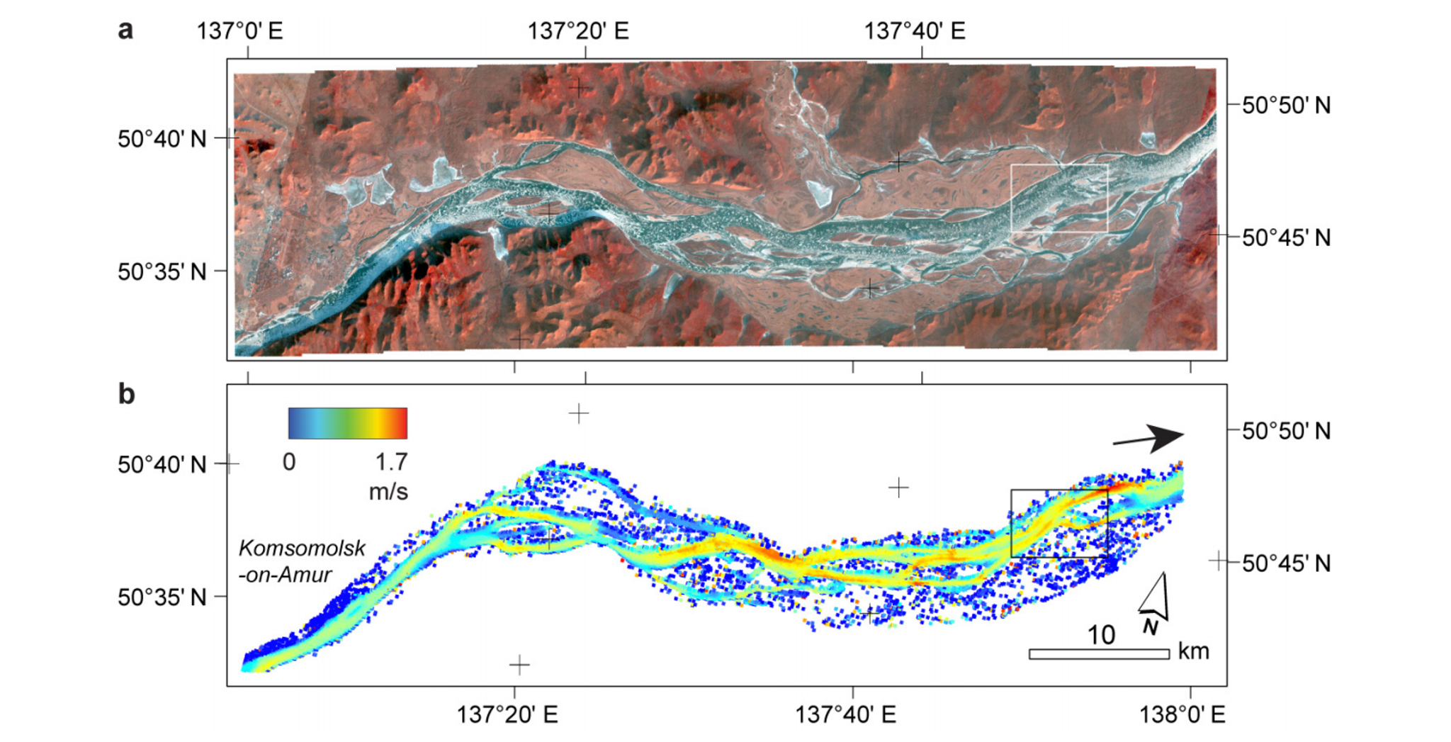
If it were possible, a stationary observer in sun synchronous orbit would see one Planet Dove satellite rocket past every ~90 seconds. At polar latitudes, the relative speed of Earth’s rotation is much lower, like the inside tracks of a vinyl record. As a result, Planet often collects multiple images of the same location separated by only 90 seconds at high latitudes. Andreas Kääb and his team from the University of Oslo, leveraged these near-simultaneous collections by Dove satellites, and optical flow techniques, to track the movement of ice debris in high-latitude rivers, allowing them to estimate the velocity of those rivers with an astonishing accuracy of ~ 1 centimeter per second. River velocity could be estimated both during spring thaw, when ice debris is breaking loose, and near the end of the growing season when rivers are in the process of freezing up. The authors note that, while clouds and snow made it difficult to estimate velocities from many image pairs, the technique “enables direct remote sensing of river surface velocities over many cold-region rivers and several times per year – much more frequent and over much larger areas than feasible so far, if at all.” Kääb and team report the results in Hydrology and Earth System Sciences Discussions, where the paper is presently in open review. Interested users are invited to comment at the journal if they wish to be a part of the open review process. [caption id="attachment_143430" align="aligncenter" width="1514"]
Ready to Get Started
Connect with a member of our Sales team. We'll help you find the right products and pricing for your needs