
The State of Remote Sensing Capabilities of Cascading Hazards Over High Mountain Asia
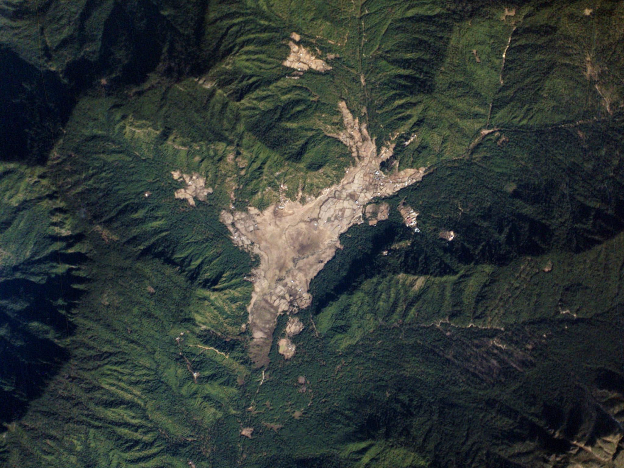
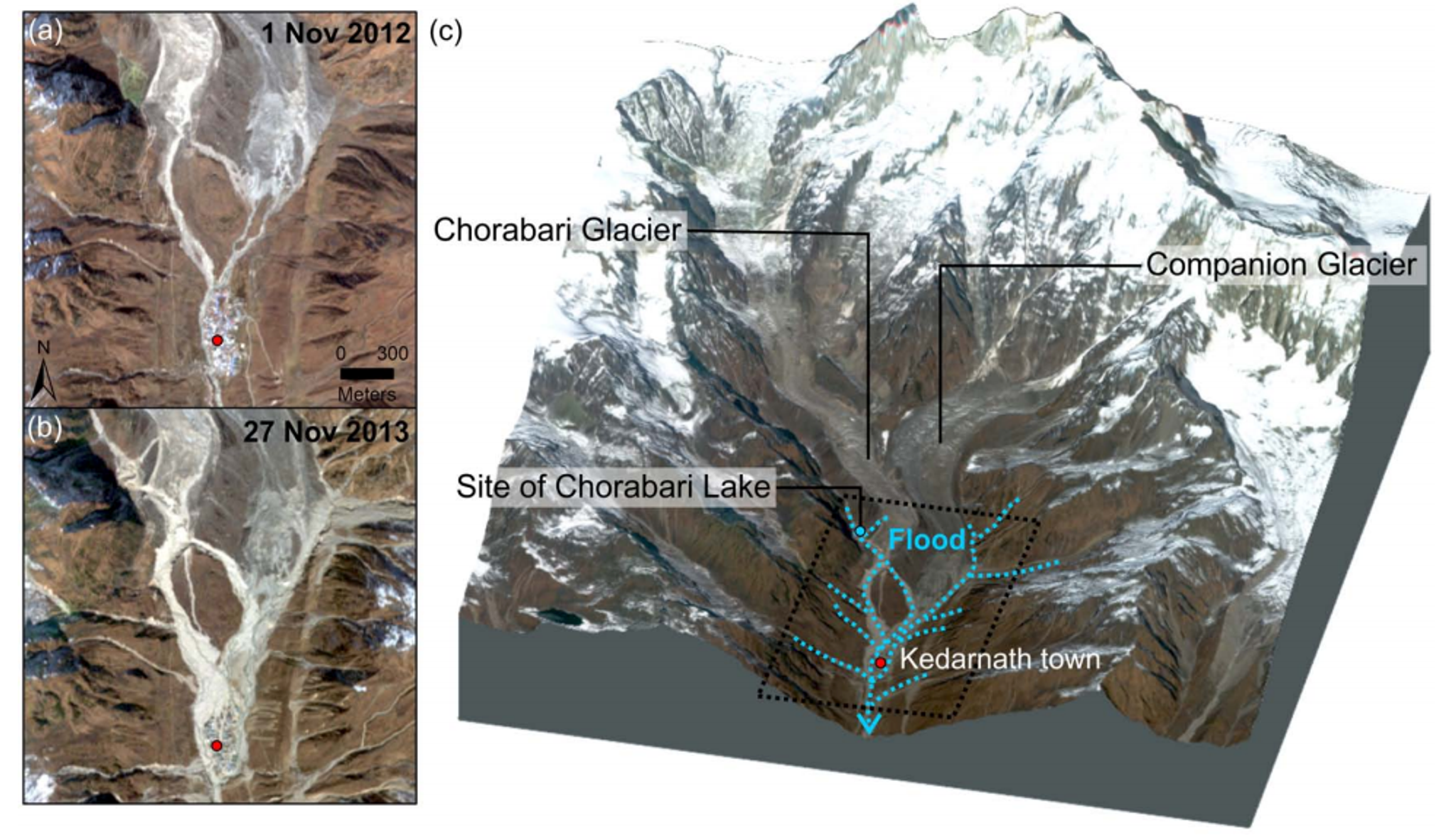
The towering mountain ranges of the Tibetan Plateau, such as the Himalayas and the Hindu Kush, are a prime area for a host of natural disasters. Earthquakes, landslides, and glacial floods are common occurrences in the region thanks to the confluence of geological activity there, along with the effects of climate change. However, the remote location and rough terrain makes it difficult to access. But remote sensing datasets like those from Planet’s SkySat, PlanetScope, and RapidEye are bringing revolutionary views of these areas. A research group led by Dr. Dalia Kirschbaum out of NASA Goddard Space Flight Center analyzed a range of satellite datasets to see how they could benefit natural hazard assessment within High Mountain Asia, looking at the complex interplay between humans, infrastructure, and ecosystems. The study found that the short revisit time of PlanetScope aided in detecting early warning signs for natural disasters in the region. This includes the ability to look for precursors to landslides, and to monitor surface velocities of glaciers as a sign of impending surges that can precede catastrophic floods. They also found PlanetScope data “essential” in reconstructing the sequence of events post-disaster thanks to both image resolution and rapid revisit rates. You can read the entire study in the journal Frontiers in Earth Science. [caption id="attachment_144068" align="aligncenter" width="998"]
Ready to Get Started
Connect with a member of our Sales team. We'll help you find the right products and pricing for your needs