
The Suitability of PlanetScope Imagery for Mapping Tree Plantations
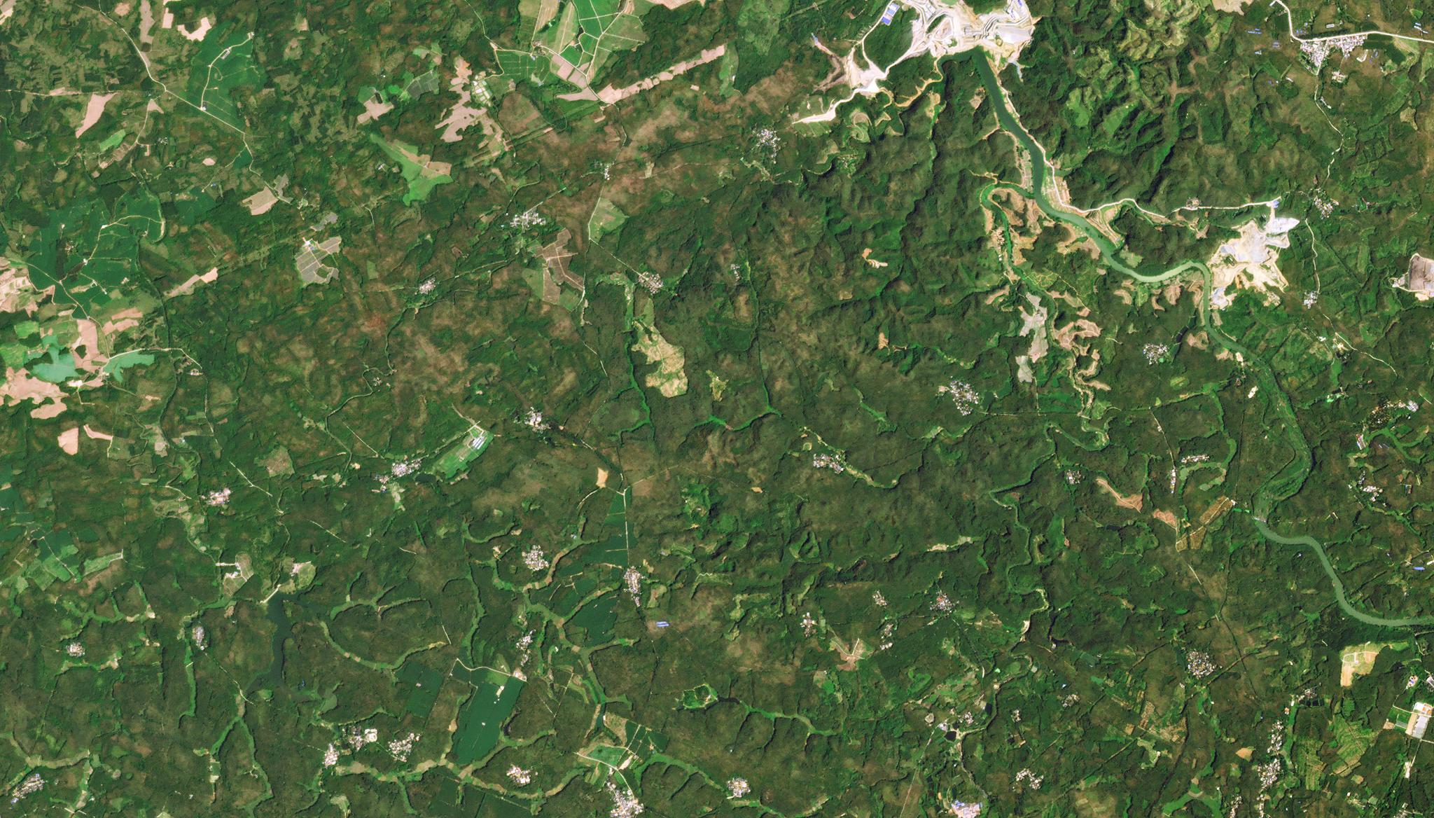
Image above of rubber tree plantation taken March 8, 2022 near Danzhou, City, China. © 2022, Planet Labs PBC. All Rights Reserved. Rubber trees are an important resource used for natural rubber and timber products globally, and rubber tree plantations can often be impacted by changing government policies and economic incentives. With this in mind, it is important for researchers and agriculturalists to have up-to-date spatial knowledge regarding rubber trees. However, manual surveys can be time consuming, and so, the industry has now turned to using remote sensing technology to survey large swaths of rubber tree plantations. To gain greater insight on the method of remote sensing for rubber trees, researchers from the Chinese Academy of Sciences have published a research study on the suitability of PlanetScope imagery for mapping and monitoring rubber plantations. The study concluded that PlanetScope data with its daily imaging cadence could provide great advantages for collecting critical rubber plantation insights. The paper analyzed the spectral and textural features within Planet’s images, and used four classification methods, including pixel-based and object-oriented methods, to identify rubber trees, determine the best time of year for analysis, and fill in missing data gaps from previously conducted surveys. “PlanetScope sensors are thus acceptable data sources that can effectively solve problems associated with missing images in the optimal monitoring period, which includes the rubber defoliation and leaf-extraction phases,” said the authors. The full study can be found in Remote Sensing.
Ready to Get Started
Connect with a member of our Sales team. We'll help you find the right products and pricing for your needs