Auckland, June 6, 2016

Tagged by: south america

Satellite Data Helps Reveal Impacts of Hydroelectric Dams on Local Ecosystems

Paper

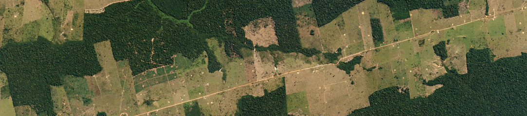
Image above: Flooding in Brazilian Amazon study site following hydroelectric complex installation taken June 28, 2022. © 2022, Planet Labs PBC. All Rights Reserved. In Brazil, approximately 60% of the country’s electricity is powered by hydro dams. However, since the 1990s, there has been pressure on the country’s environment because of the […]

PlanetScope and Deep Learning Methods Used to Map Wildfires In South America

Paper

Image above: PlanetScope image of a wildfire in Mato Grosso do Sul, Brazil taken August 7, 2021. © 2021, Planet Labs PBC. All Rights Reserved. Pantanal is a natural region of South America which encompasses the world’s largest wetlands. Situated between the Mato Grosso area of Brazil and the borders of Bolivia […]

Scientists combine both x-ray techniques and satellite data for environmental forensics

Paper

Image above: PlanetScope image of Alto Araguaia, Brazil taken November 25, 2022. © 2022, Planet Labs PBC. All Rights Reserved. Soybean production in Brazil has significantly increased over the last twenty years as a result of national and international demand. Following harvest, trucks and trains transport this popular crop to designated shipment […]

Monitoring Lava Domes in the Andes

Paper

The Sabancaya volcano sits in the southern Peruvian Andes. Records of eruptions there span back hundreds of years, making it a site of interest to volcanologists around the world. A new study by a team of Italian and Peruvian scientists led by Dr. Diego Coppola at the Università Degli Studi Di Torino […]