Search
Planet and Esri
Planet’s mission is to image the entire Earth every day and make change visible, accessible, and actionable. Esri is the global leader in GIS technology, mapping, and spatial analytics software. With the Planet-Esri partnership, you can unlock the power of frequent high-resolution satellite imagery in your GIS workflows.
Direct integration with ESRI
Planet supports multiple patterns for integrating Planet data into your GIS workflows, so you can combine Planet imagery with the most authoritative GIS content and analysis platform. The platform is flexible to support use-cases in ArcGIS Pro, ArcGIS Online, or ArcGIS Enterprise, for those with expertise in remote sensing or not.
Enrich your GIS databases with the most up to date satellite imagery
Empower remote workflows
Access analysis ready data in your GIS
Enrich Your GIS Database With the Most Up-to-date Imagery
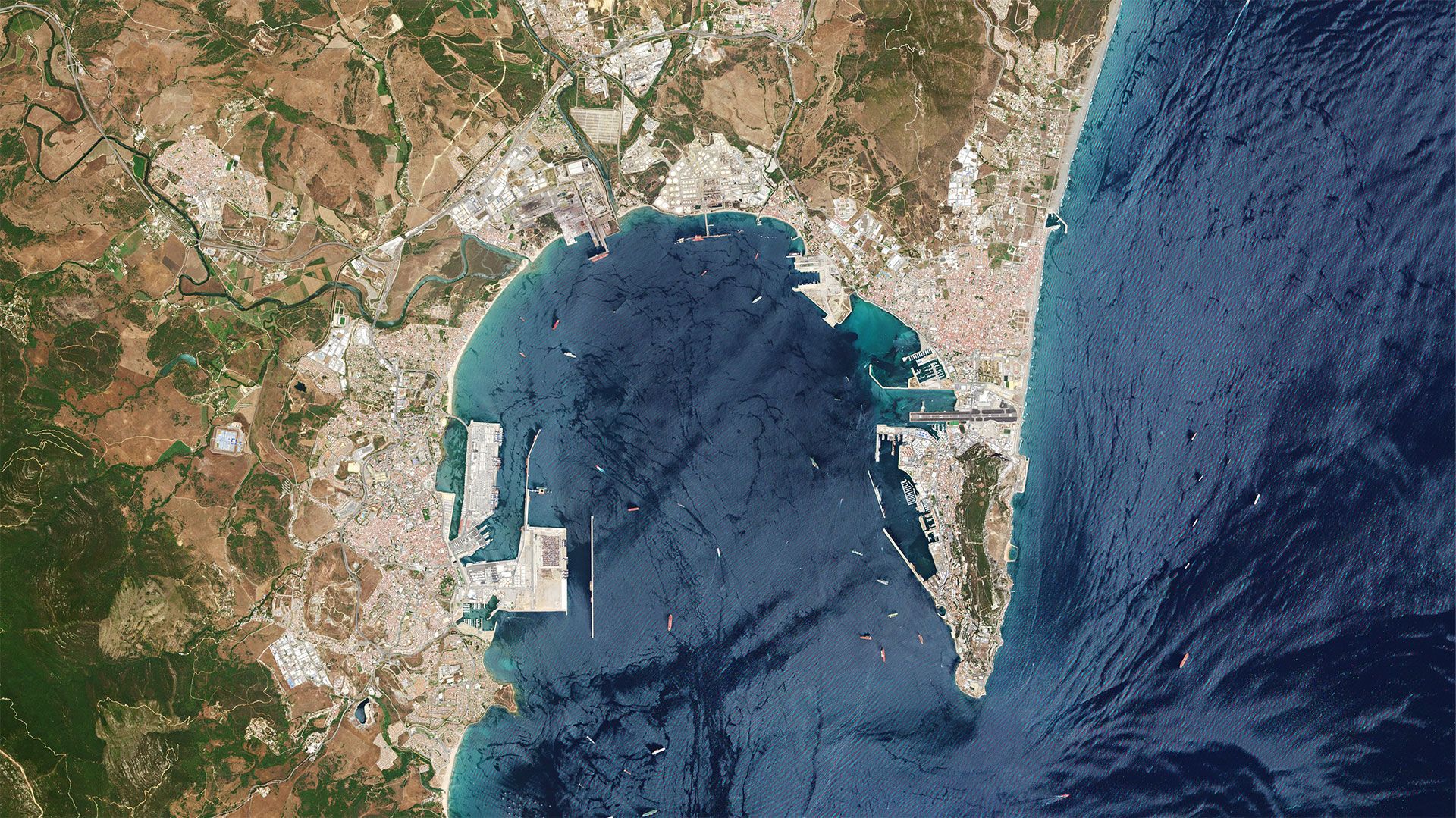
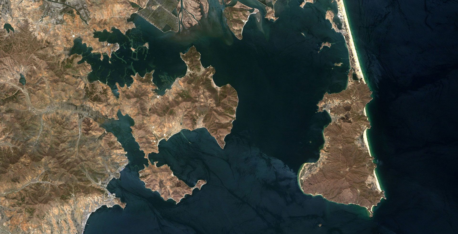
Enrich your GIS databases with the most up to date satellite imagery available today. Perform richer analyses combining other geospatial data sources, to get a comprehensive, nuanced understanding of the locations you want to monitor.
ESRI Integration for
Effective Governance
Use Planet's high-cadence satellite imagery in ArcGIS Pro to protect natural resources, infrastructure, and people. Steward your constituency and strengthen your community by monitoring land use, enforcing code, and gaining situational awareness during emergencies. The video shows how local governments can monitor and audit urban development classifying large-scale conversion of agricultural land to urban use by leveraging Planet Imagery, and on-the-fly processing in ArcGIS pro. Watch a detailed demo here.
ESRI Integration for
Forest Inventory Management
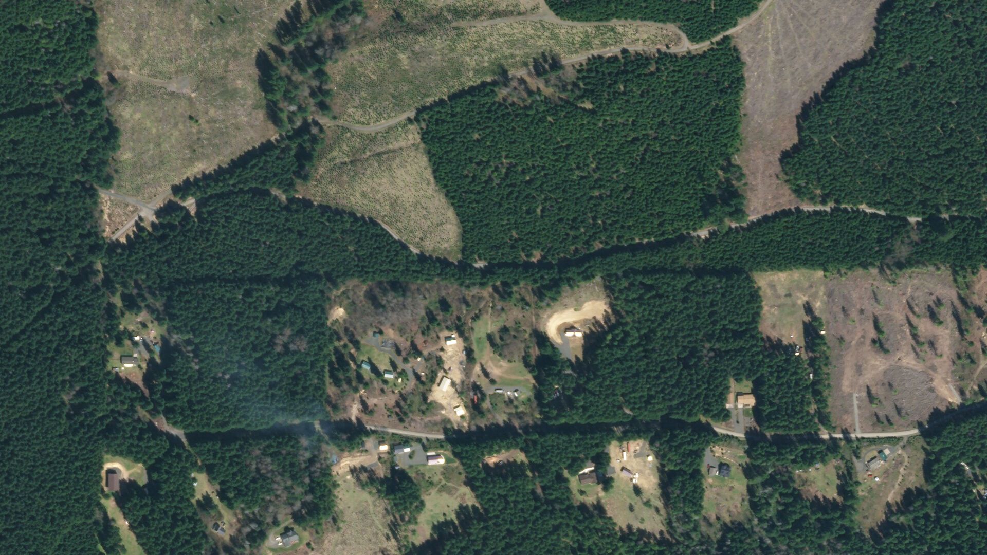
Forest managers from public and private sectors leverage Planet imagery in ArcGIS Pro to monitor forest vitality, efficiently harvest timber, and plan sustainable timber operations. The video shows how forest managers and GIS analysts can leverage Planet's analysis ready mosaics in ArcGIS Pro to detect inventory changes month over month. Watch a detailed demo here.
Empower Remote Workflows
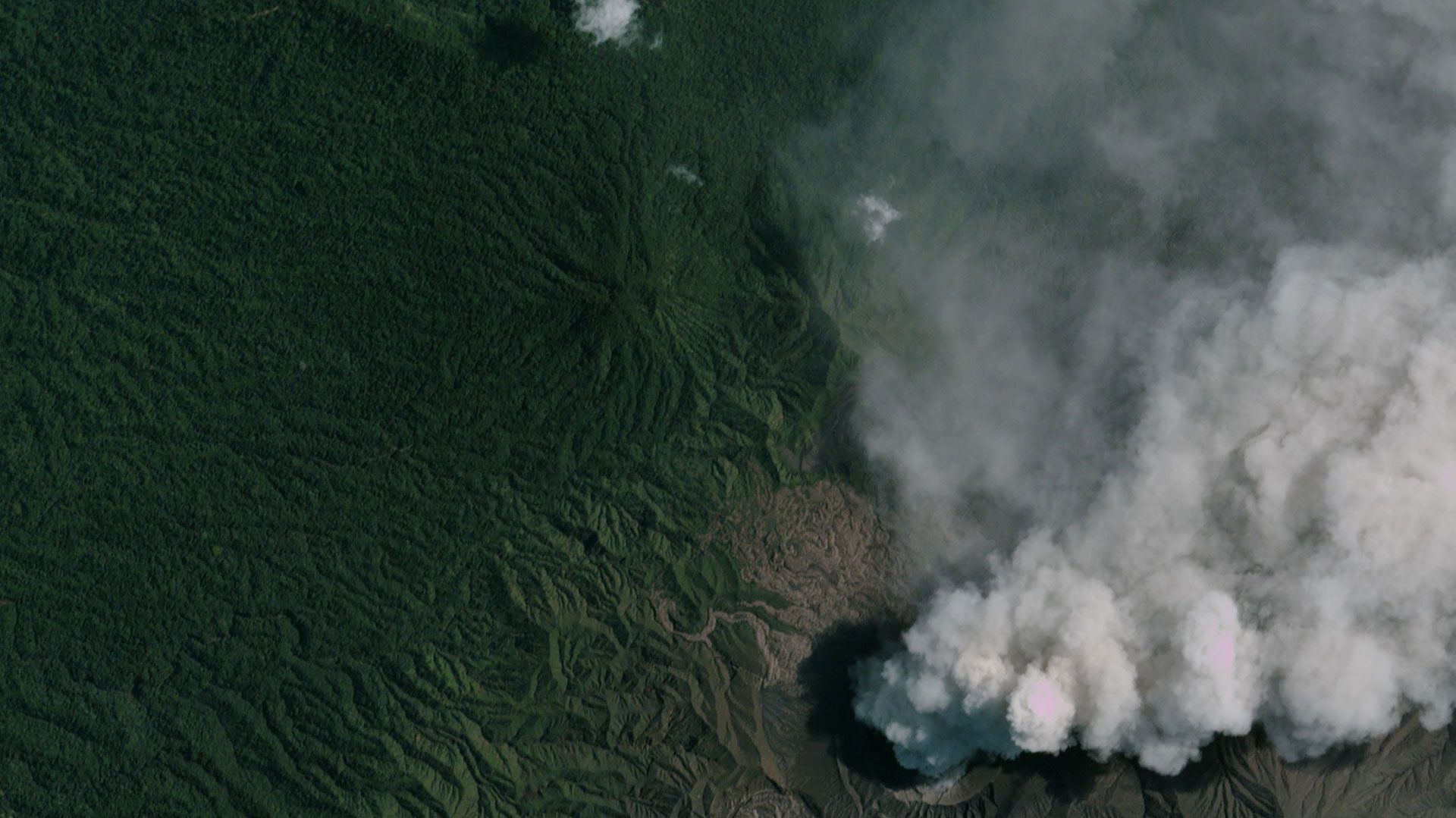
Rethink your field operations and empower your organization by getting the latest satellite imagery in your GIS workflows. Monitor remote assets and ensure operational continuity wherever you are.
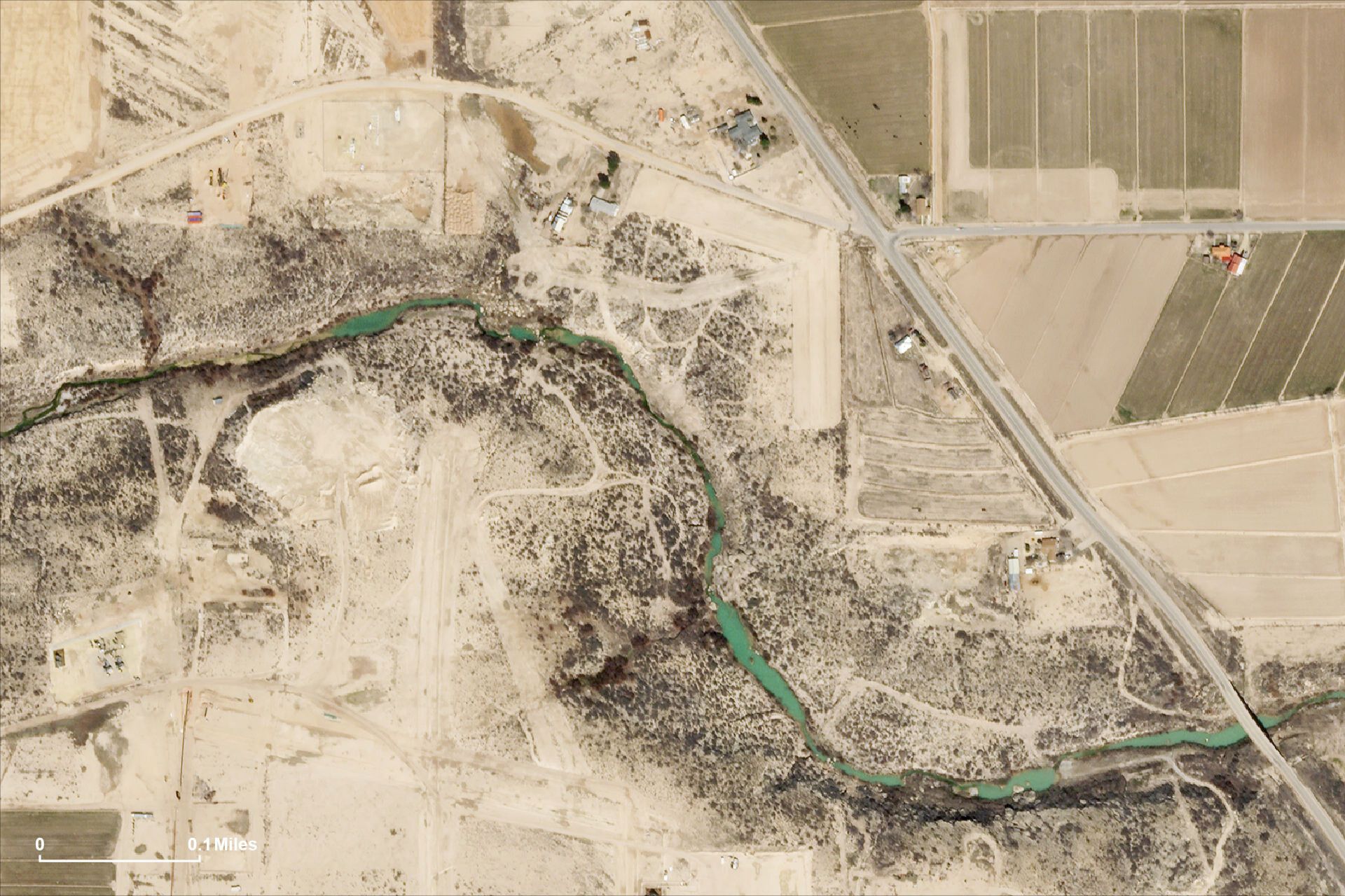
High revisit, high-resolution SkySat data help officials assess the impact of spills in remote areas. Drilling mud spill on Black River visible in a SkySat image collected on March 10, 2020.
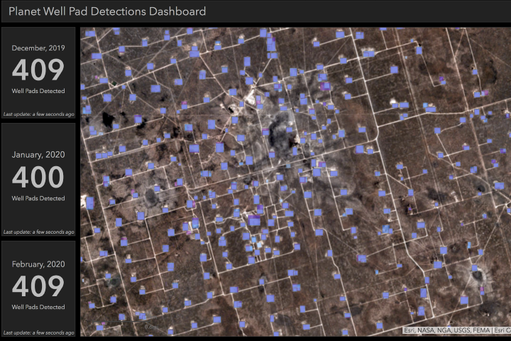
Planet's monthly WellPad feeds in Esri Operations Dashboard enable monitoring of remote assets, detecting change, and tracking development on an ongoing basis.
Analysis Ready Data in Your GIS
Planet’s surface-reflectance mosaics are cloud masked and surface reflectance corrected, reducing the need for data management and cleaning, allowing you to spend time on the analysis that truly matters.
Learn More
Every day I think of new uses for Planet imagery, whether it’s for verifying agriculture crop boundaries or reviewing zoning disputes. Planet’s imagery will ensure that all of our spatial products and services are built on a foundation of timely and credible information.
Jose Crummett
GIS Manager of El Dorado County, California
Planet data is invaluable for deriving insights, because Planet data is in near-real time, we are enabling workflows that allow people to update their GIS with the most current satellite data.
Beau Legeer
Imagery and Remote Sensing, Esri.
The Planet ArcGIS integration provides Skytec with an excellent resource for authoring and servicing client solutions. We regularly employ the tool to review and order available Planet imagery assets for our clients, conduct additional geoprocessing tasks, and publish results and imagery to the ArcGIS Online platform for product delivery.
Andrew Carroll
Co Founder and Chief Technology Officer, Skytec LLC
Ready to get started?
Contact Us
Answers questions about Planet-Esri partnership
Demo - Civil Government
Monitor land-use with Planet-Esri Intregration
Demo - Forestry
Monitor forests with Planet-Esri Integration
© 2026 Planet Labs PBC. All rights reserved.
| Privacy Policy | California Privacy Notice |California Do Not Sell
Your Privacy Choices | Cookie Notice | Terms of Use | Sitemap
