Beyond the Soda Straw: Why Modern Defense Needs Continual GEOINT

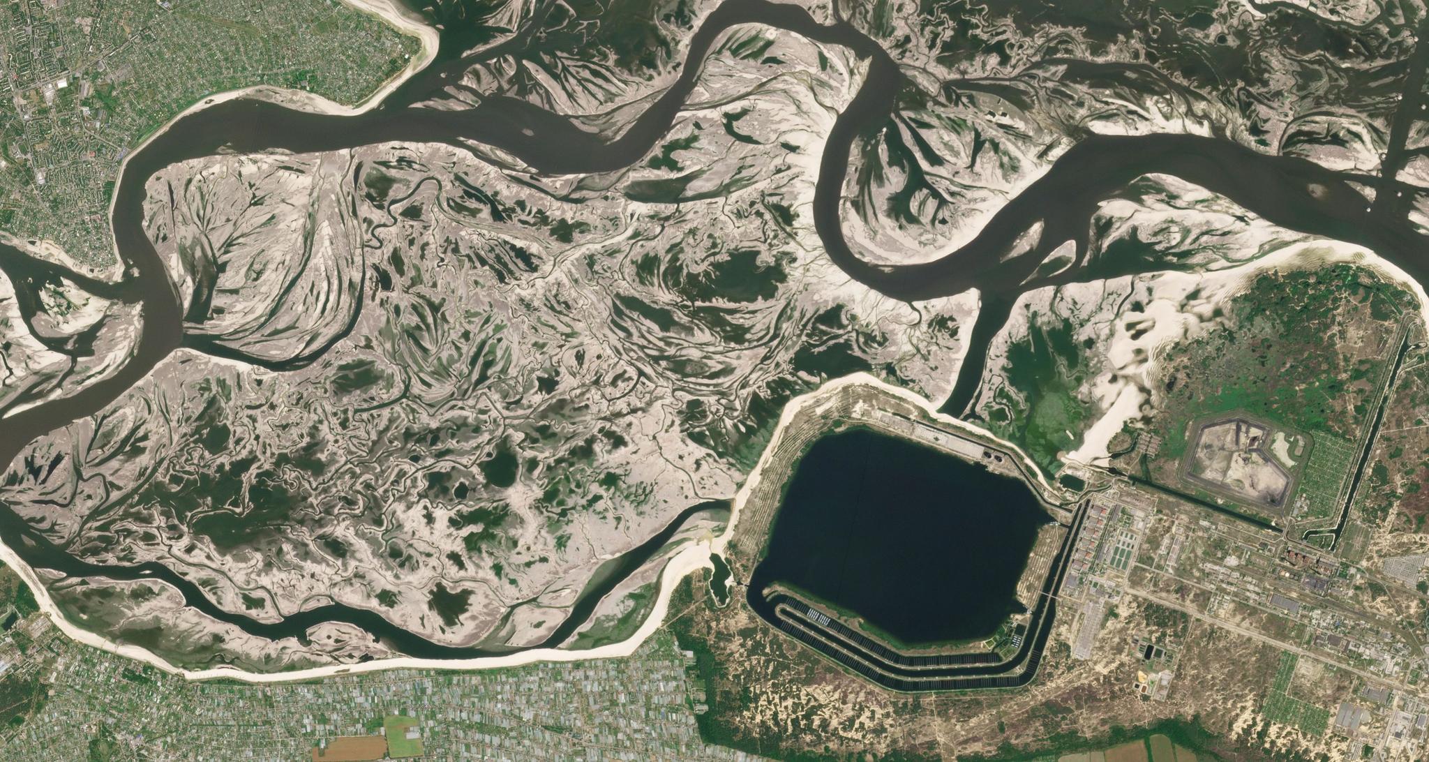
PlanetScope image of Znpp Kakhovka Reservoir in Ukraine, capture June 20, 2023. © 2023 Planet Labs PBC. All Rights Reserved.
TechFor decades, military planners have relied on a standard set of tools to monitor global threats. They intercept radio chatter, deploy intelligence officers on the ground, and schedule high-powered satellite overpasses.
But today, these traditional methods are hitting a wall. Modern adversaries have learned how to slip through the cracks of legacy intelligence systems by turning off communications, broadcasting fake GPS data, and moving military equipment during gaps between satellite visits.
To keep pace with modern warfare, defense organizations need a new geospatial intelligence (GEOINT) foundation: continual, theater-wide physical monitoring that provides an un-spoofable baseline of reality.
Why Traditional SIGINT, HUMINT, and IMINT Fail in Modern Defense
To understand why modern defense requires a fresh approach, it helps to look at the three traditional pillars of intelligence gathering, and where they fall short today.
Signals Intelligence (SIGINT)
This involves intercepting electronic signals, like radio communications, cell phone traffic, and radar emissions. Historically, SIGINT provided a constant stream of data. Today, however, adversaries practice strict radio silence, known as Emission Control (EMCON), or use secure fiber-optic lines to hide their movements. Worse yet, enemies can actively fake electronic data.
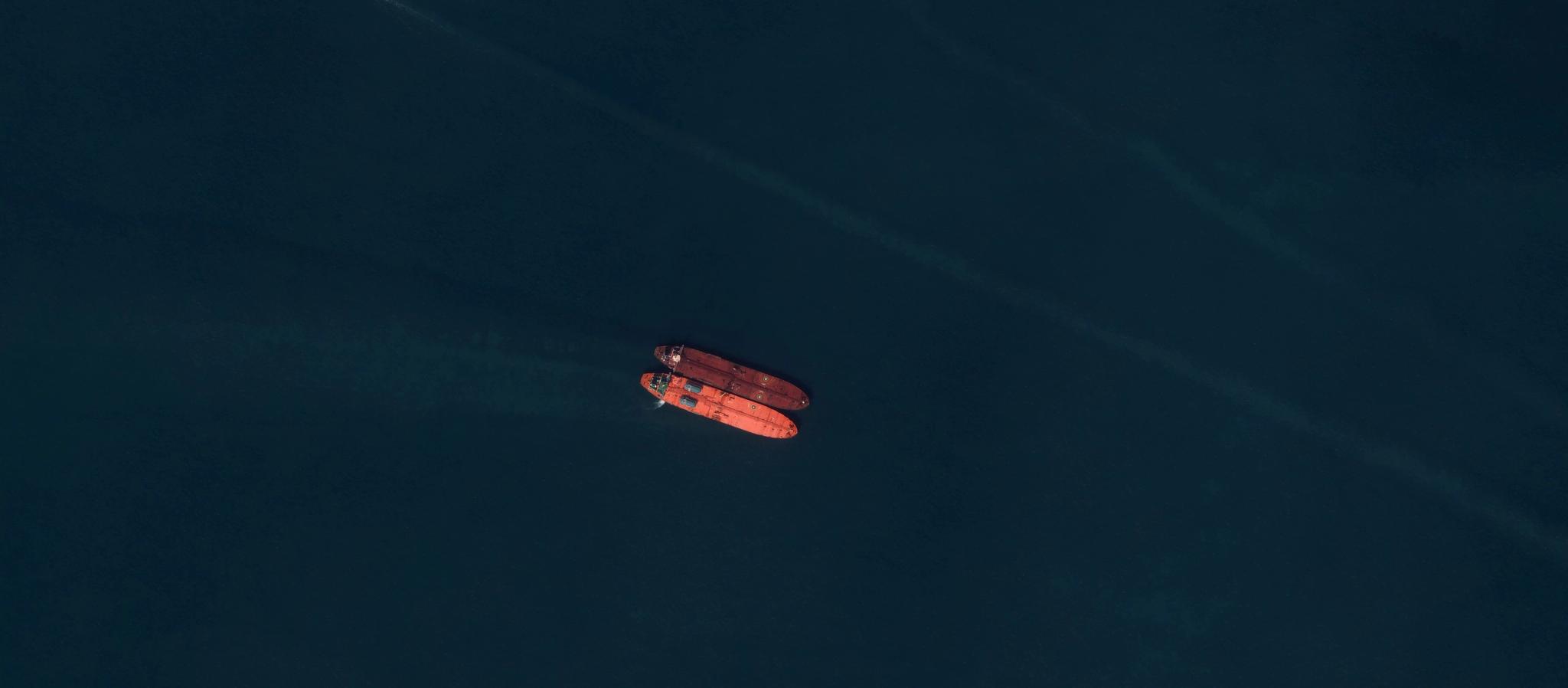
For example, in June 2024 in the Black Sea, false ship-tracking signals incorrectly placed 50 commercial vessels at an inland airport. When electronic signals go silent or broadcast fake locations, reliance on SIGINT alone leaves decision-makers blind.
Human Intelligence (HUMINT)
This second pillar entails gathering information through human sources, such as interviews, espionage, and field reconnaissance. It is the oldest intelligence discipline and remains valuable, but cannot scale across entire countries. In addition, in heavily surveilled or denied areas, human agents face extreme risks and simply cannot track theater-wide troop movements in real time.
Imagery Intelligence (IMINT)
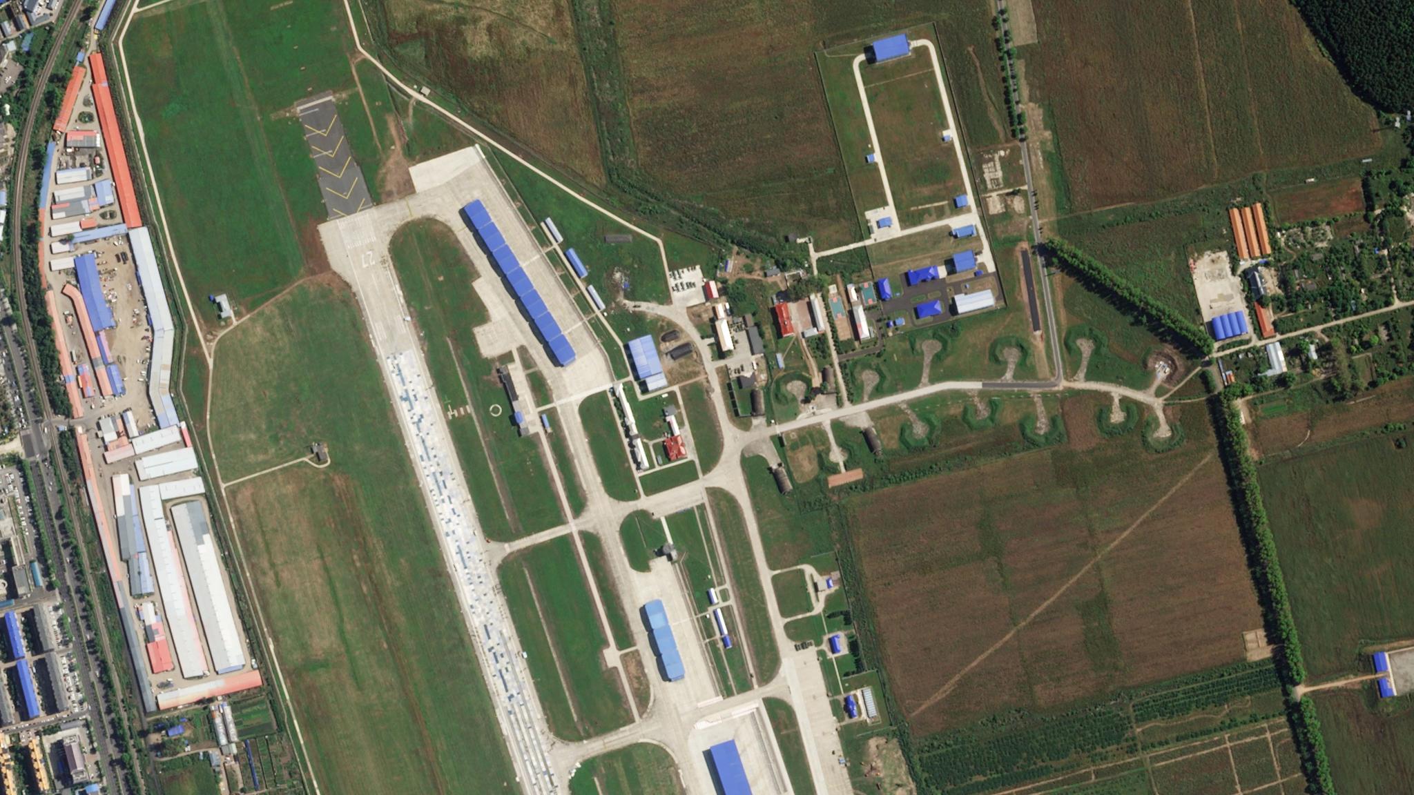
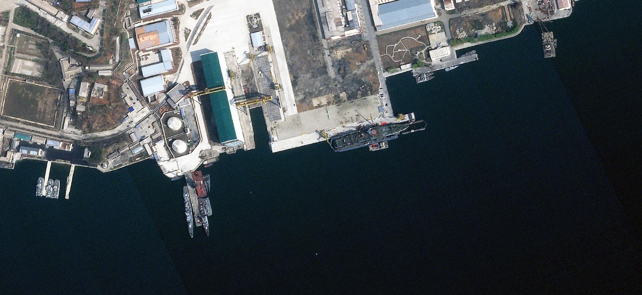
This intelligence discipline involves collecting and analyzing visual images and data. But while high-resolution spy satellites take incredibly valuable and detailed photos, their narrow scope can result in "the soda straw” problem. These images capture just a tiny patch of ground at a time, which means they are usually dispatched only after another source has raised an alarm. And because these satellites visit specific locations on predictable schedules, adversaries easily play the timing gaps.
A prime example is the expansion at Antelope Reef in the South China Sea, where dredging and construction took place step-by-step in the quiet windows between satellite passes until military bases were fully built.
How Daily Satellite Monitoring Delivers Un-Spoofable Ground Truth
When electronic signals are faked or human intelligence is limited, physical reality is the ultimate truth. You cannot electronically fake a runway, a dug trench, or a convoy of trucks captured in a clear photo.
This is where continual satellite imaging changes the equation. Instead of taking occasional snapshots through a narrow lens, daily monitoring across entire regions provides a broad understanding of patterns of life.
Planet provides this un-spoofable layer of physical truth through the world’s largest constellation of Earth-imaging satellites:
- Daily Global Scan
PlanetScope® satellites scan the world's entire landmass every single day, creating a persistent, rolling baseline of global activity. - Automated Change Detection
With over 10 years of daily imagery, the Planet archive is a powerful tool for understanding change. And when combined with computer vision algorithms, it’s possible to compare today's image with past conditions and automatically flag physical changes — like a newly cleared forest path, a fresh supply stash, or an unexpected ship deployment. - Coordinated Tip and Cue
Broad daily monitoring works hand-in-hand with high-resolution assets. When the Planet daily scan picks up an unusual signature, it can "tip" high-resolution satellites (like the Planet SkySat© constellation) to "cue" in on that exact location for detailed tactical analysis.
Together, these capabilities allow intelligence leaders to move from data to decision faster, with insight delivered at planetary scale.
Spotting Threats Before They Escalate
When adversaries operate in the gaps between traditional intelligence feeds, security risks compound quickly. Blind spots are no longer an unavoidable reality of geography — they are a limitation of legacy technology.
By anchoring strategic intelligence in daily, theater-wide GEOINT, defense leaders can eliminate temporal blind spots, verify electronic signals against physical reality, and detect subtle mobilizations long before they turn into full-blown crises.
Read the complete analysis in our GEOINT white paper The Persistence Imperative: Eradicating Strategic Surprise through Global Change Detection and Cognitive Dominance. Or reach out to our team to see how daily satellite monitoring transforms modern defense strategy.