
Removing Blind Spots That Hamper Agricultural Compliance Monitoring
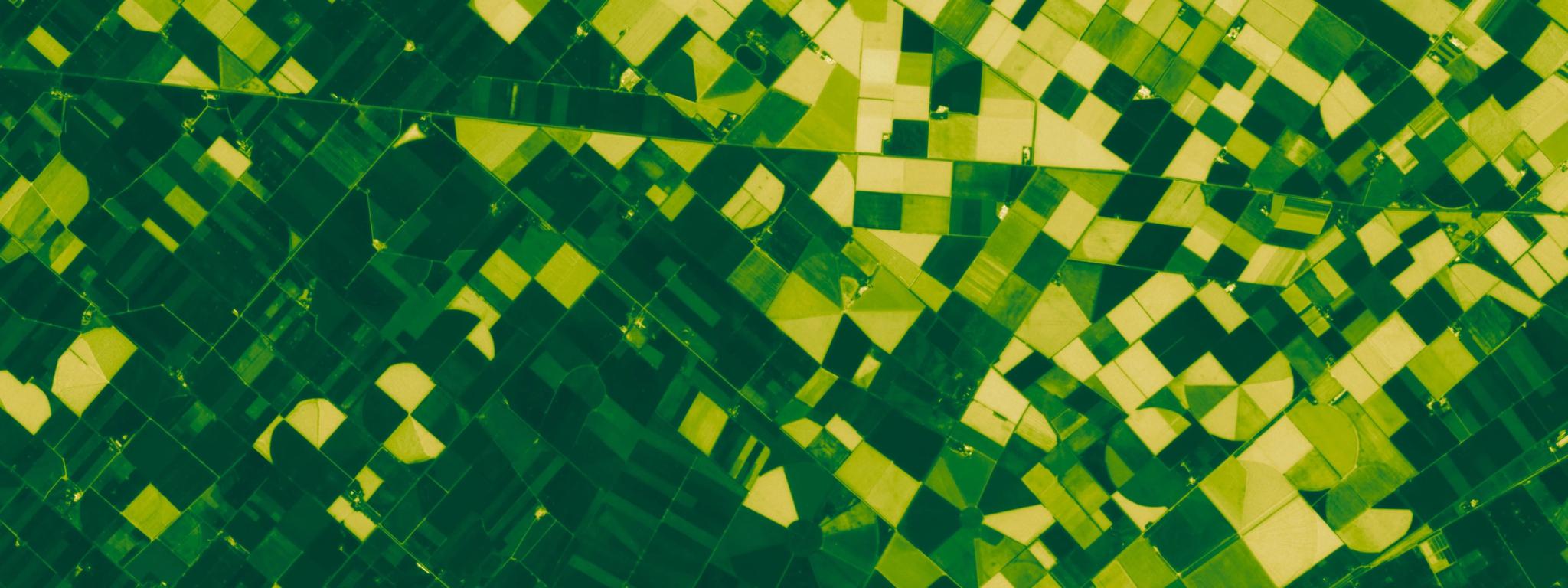
NDVI (Normalized Difference Vegetation Index) visualization of agricultural fields in New Zealand, captured March 20, 2026. © 2025 Planet Labs PBC. All Rights Reserved.
TechAround the world, governments need to monitor agricultural land use to ensure compliance with national and regional policies. It is an enormous challenge. Not only do agencies have to detect agricultural activity across vast regions, but they also have to observe changes in individual fields throughout the growing season. Satellite imagery can help assist with this complex task, but it needs to have sufficient frequency and resolution.
Many governments have resorted to using publicly available satellite data, such as from Copernicus satellites Sentinel-1 and Sentinel-2, to monitor crop growth and farming practices remotely.
There are, however, significant risks to relying solely on free-to-use, public satellite data. As a growing number of government agencies are beginning to realize, public satellite data creates critical blind spots. Affecting countries large and small, these blind spots can seriously hamper an agency’s ability to allocate agricultural subsidies correctly, monitor the success of new sustainable agricultural policies, and detect potential non-compliance.
Close Gaps in Time With a Near-Daily Revisit Rate
One of the most significant causes of blind spots is gaps in time. Public satellite imagery is typically only captured around every five days, and on some of these days, the views of fields can be obscured by cloud cover. As a result, depending on the weather and climate in different seasons, public satellite data may only show a clear image of a particular field once or twice a month.
This limited frequency can be a serious impediment to monitoring agricultural compliance. Without regular imagery at pivotal points in the growing season, it can be easy for events to go undetected — resulting in delayed or inaccurate subsidy payments or potential policy infringements.
One of our customers, the Slovenian National Paying Agency (ARSKTRP), struggled with this particular issue. Using just public satellite data, they found that events like mowing went undetected due to cloud cover. However, when they combined public data with Planet data, this problem was resolved. With a near-daily revisit rate, Planet images reduce the likelihood of fields being obscured by clouds for long periods. With more frequent imagery, and fewer blind spots, ARSKTRP now makes more timely observations of events like mowing and harvesting, while saving €1 million annually from improved processes and fewer field visits.
Overcome Insufficient Detail With 3 Meter Resolution Satellite Imagery
Further blind spots can arise from a lack of detail. While public satellites image entire regions and countries, they have a resolution of around 10 meters — which is too coarse for delineating and monitoring small and narrow fields sufficiently. Comparatively, PlanetScope® images have a 3 meter resolution, making it possible to track and understand small-scale crop activity.
The value of higher-resolution data is demonstrated by Netherlands Geomatics & Earth Observation B.V. (NEO), a Planet partner that helps government agencies enhance compliance with agriculture policy requirements. With Planet 3 meter data they have helped the Netherlands Enterprise Agency increase the number of monitored parcels from 650,000 to 1 million, effectively removing 350,000 blind spots from compliance workflows.
A comparison of two images of the same field: on the left is a 10 m Sentinel-2 image, and on the right is a 3 m PlaneScope image.
Higher-resolution imagery is also important for monitoring the effectiveness of agricultural policies over time. Planet has a unique and extensive archive of near-daily data from the last ten years, which agencies can use to look back and qualify change. Understanding change — in detail and at national scale — helps track program effectiveness and inform policy change.
Reduce Data Overload With Cloud-Native, Geospatial Tools
Finally, these blind spots are exacerbated by the siloed nature of public satellite imagery, where vast volumes of data are spread across disconnected platforms. Relying on in-house infrastructure to download, process, and analyze this data can strain storage capacity, complicate workflows, and overload compliance teams.
This is a challenge that another of our customers, England’s Rural Payments Agency (RPA), is very familiar with. RPA used to struggle to store, manage, and process vast amounts of satellite data and other diverse datasets relating to 89,000 square kilometers of agricultural land.
After transitioning to the cloud with Planet Insights Platform, RPA reduced the time required for data management by 95% and made it possible for users to access and analyze data in minutes rather than hours. This significant improvement in workflow efficiency was also accompanied by an improvement in accuracy; RPA is now confidently carrying out compliance checks across 100% of its territory.
Monitor Agriculture Activity at Scale
For government agencies that want to ensure that agricultural policies are fairly and consistently adhered to, blind spots are a serious concern. Any gaps in knowledge can result in misuse of subsidies, environmental degradation, or even vulnerabilities in food security. Closing the blind spots with high-frequency, higher-resolution data and integrated tools is essential for modern agricultural compliance.
To read more about the use of satellite data for agricultural compliance, download a free copy of our e-book, Improving Agricultural Compliance with Planet.
Ready to Get Started
Connect with a member of our Sales team. We'll help you find the right products and pricing for your needs.