
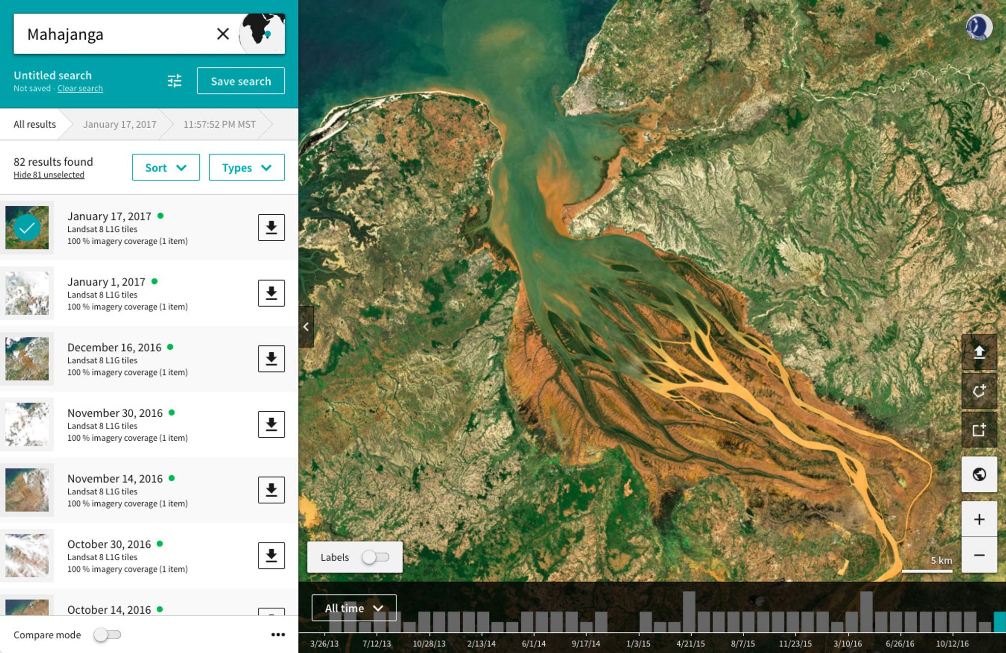
Sentinel-2 and Landsat 8 Data Now Available on the Planet Platform
We are pleased to announce the integration of Landsat 8 and Copernicus Sentinel-2 data into our data pipeline and software platform. As of today, researchers, developers, and commercial users can access four unique satellite imagery datasets through the Planet Platform:
- PlanetScope: RGB and NIR bands (3.7m spatial resolution), captured by Planet’s Dove constellation
- RapidEye: RGB, NIR and red edge bands (6.5m spatial resolution), captured by Planet’s RapidEye constellation
- Sentinel-2: 13 spectral bands – RGB and NIR bands (10m); six red edge and shortwave infrared bands (20m); three atmospheric correction bands (60m spatial resolution)
- Landsat 8: 11 spectral bands – Panchromatic band (15m); eight visible, near-infrared, shortwave infrared, and atmospheric correction bands (20m); two thermal infrared bands (100m spatial resolution)
Ready to Get Started
Connect with a member of our Sales team. We'll help you find the right products and pricing for your needs.