Space Goes Local: Satellites Can Power Smart Government
)
Landscapes are changing. Cites are growing. Research from the United Nations shows that in 2008, for the first time, half of the world’s population was living in an urban environment – the other half remaining in rural areas. By the year 2050, 70 percent of the world population will live in a city. From space, we document this growth everyday in thousands of images that we capture with our flock of satellites.
Cities are complex organizations that require significant infrastructure development (buildings, roads, bridges, etc.) and resource management. As these cities grow to accommodate new residents and provide the needed services and oversight, civic leaders are seeking new and advanced methods of meeting their constituents’ needs. There is a name for this, it’s called Smart Government.
Satellite imagery like Planet’s can help governments better understand growth and change in their communities and regions. And, increasingly, images captured from space can provide this information to civic officials more frequently and at a lower cost than traditional methods.
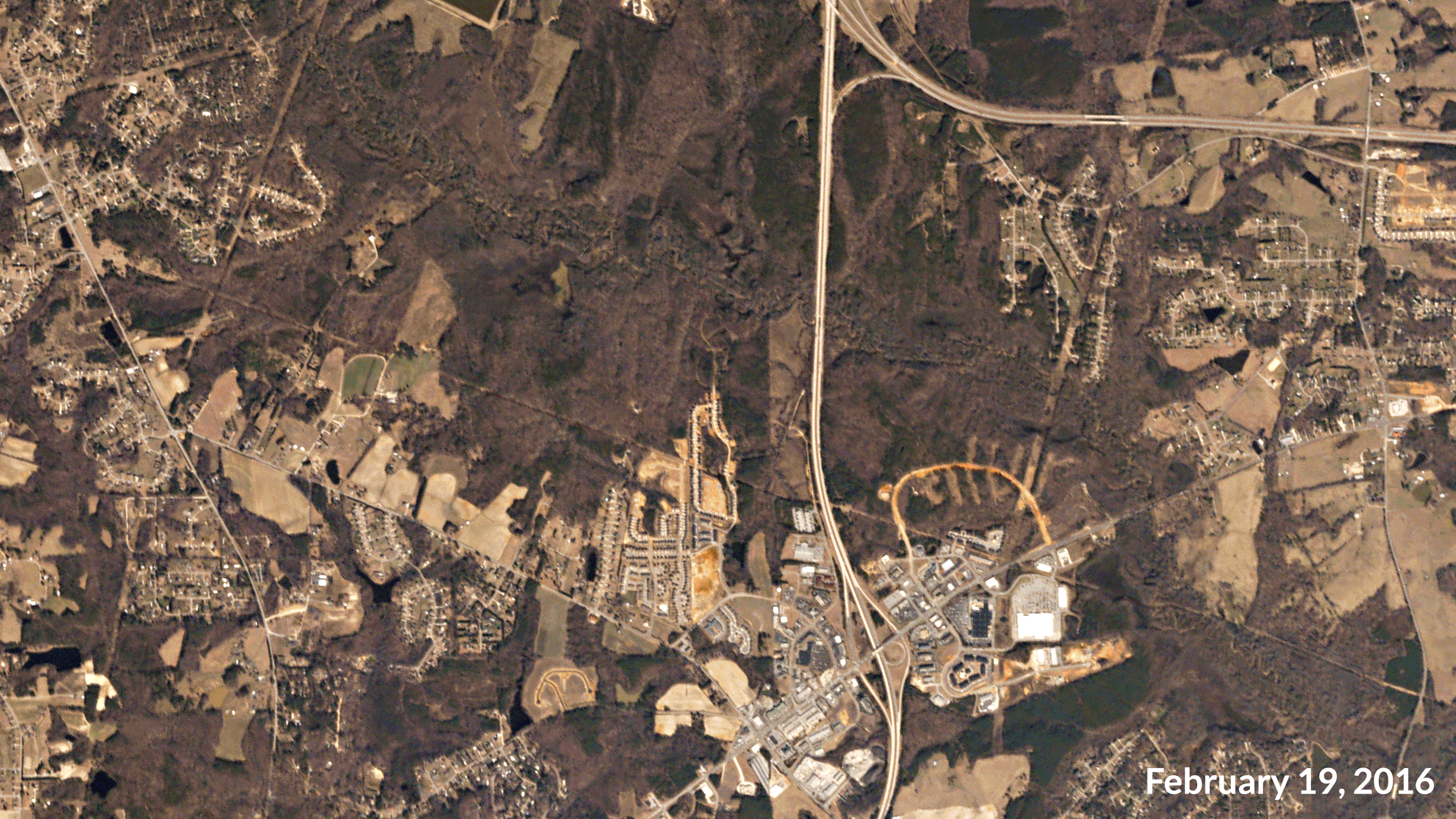
Land is cleared in Johnston County, North Carolina, over a two month period. Image ©2016 Planet Labs, Inc. cc-by-sa 4.0.
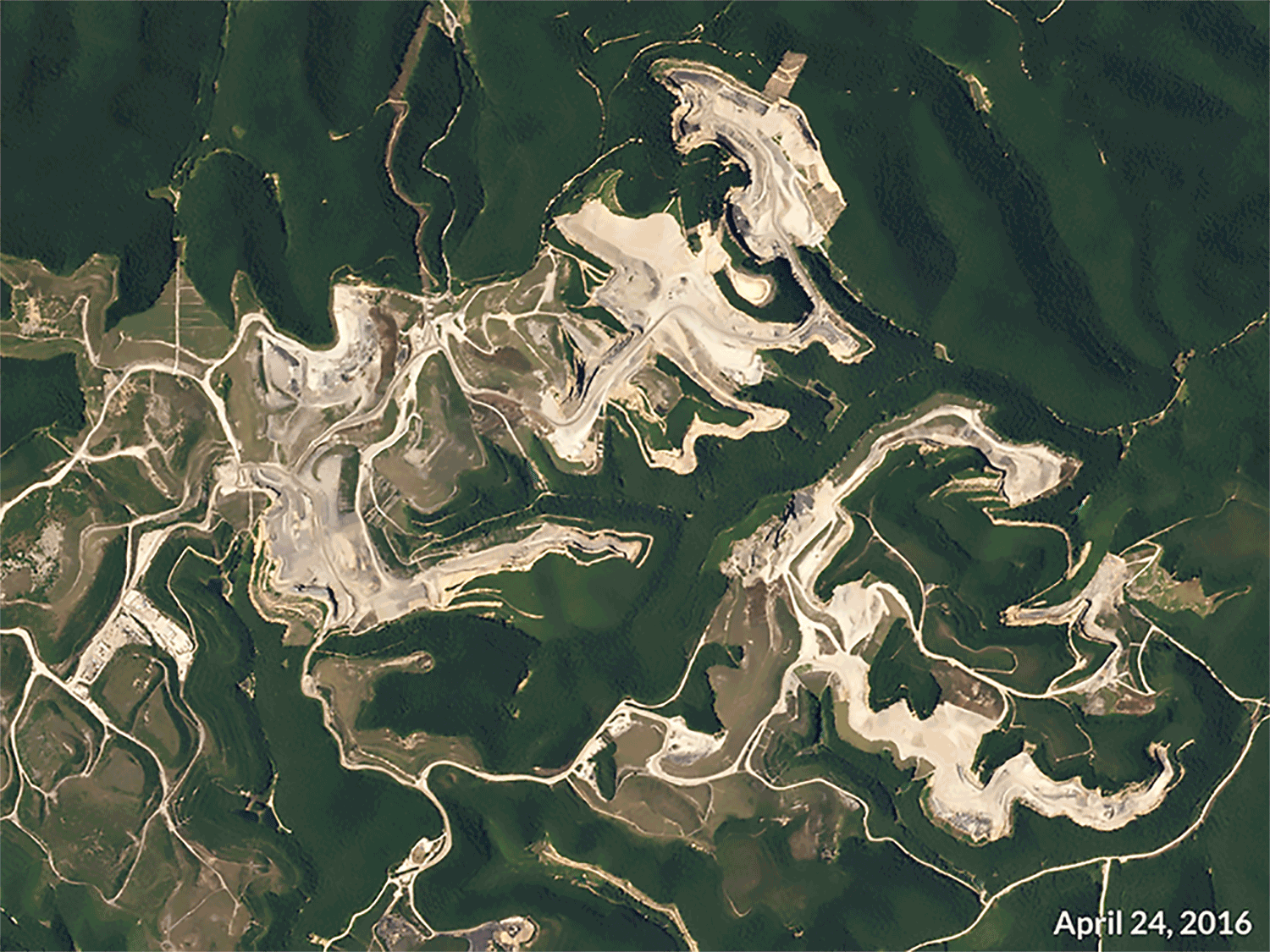
These Planet Labs images show mining activity between April and June 2016 at the Laxare East Surface and Black Castle Contour Surface coal mines in the mountains of West Virginia. Image ©2016 Planet Labs, Inc. cc-by-sa 4.0.
If you’re interested in learning more about the use of up-to-date imagery to empower smart government at the state and local level, sign up for our webinar and read about one government leader’s experience with satellite imagery.