

What Is Planet University?

If you’re interested in learning about Planet products and best practices for using Planet data, then look no further than Planet University.
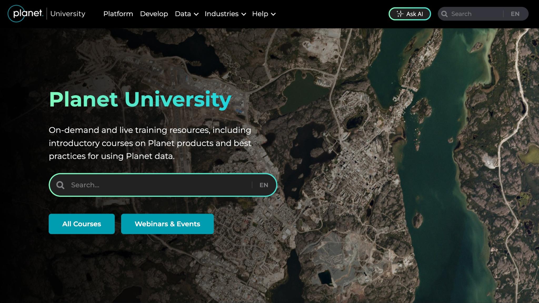
Planet University is an online platform that provides access to on-demand and live training resources, including introductory courses on Planet products, technical guides, and instructions for using Planet data in your workflows.
It’s a valuable learning hub for students, professionals, or anyone in learning about Earth observation technology and Planet products. And what’s especially great is that all of these resources are available to you at no cost!
A Range of Planet University Courses
There are over 100 on-demand courses in Planet University on nearly every Planet product and solution, from Planet Mosaics to Planet Insights Platform.
There are also courses focused on the Earth observation fundamentals, like Introduction to Remote Sensing. In addition, you can find links to Planet webinars and events.
And with a simple search interface, it only takes a few clicks to find the courses you’re interested in.
.
Where You Can Find Planet University
Planet University can be accessed at https://university.planet.com/ and is linked at the bottom of the planet.com homepage.
New courses are continuously added, so it’s worth checking back often. After visiting, you can also check out Planet Community, where you can join a forum to discuss technical questions with other geospatial experts.
Learn More
To keep reading about Planet University, check out the questions and answers below. Or if you’re ready to start learning about Planet products, take your first course, today!
Questions You Might Have
Beginners could consider starting with the Introduction to Remote Sensing course to understand the science behind satellite imagery. These lessons cover basic concepts like spectral bands, spatial resolution, and how sensors detect light reflected from the Earth.
You do not need a background in geography or Earth Sciences to follow the clear explanations provided in this module. The content focuses on giving you the vocabulary and conceptual framework required for more advanced technical tasks. This structured approach ensures that you grasp the physics of Earth observation before moving on to data analysis.
Key Takeaway: The Introduction to Remote Sensing course offers essential lessons on the science and terminology of satellite imagery for new learners.
You can learn about the Planet mission and constellation through the foundational courses offered on Planet University. These modules explain the technical specifications of the satellites and the core capabilities of the data they collect.
Users gain a clear understanding of how Planet satellites capture images of the entire Earth on a near daily basis. The curriculum provides an overview of all of the products Planet offers to help you identify which solutions fit your specific needs. By following these introductory paths, you build a solid knowledge base regarding the global scale of the imagery.
Key Takeaway: Planet University provides foundational modules that explain the company mission and the technical capabilities of its satellite constellations.
Users can learn about using Planet Insights Platform and other tools through step-by-step tutorials that demonstrate how to search, view, stream, analyze and download imagery. These lessons walk you through the interface of the web tools and APIs to ensure you can find specific locations and dates for the imagery you need in the archive.
The training also includes instructions on how to use various filters to refine your results based on cloud cover or image quality. You will learn the practical mechanics of the dashboard to manage your data subscriptions and quota. You will get information about how to integrate imagery into your existing workflows through tools like ArcGIS, QGIS, Google Earth Engine and more. This hands-on guidance helps you become proficient with the software interface quickly.
Key Takeaway: Step-by-step tutorials provide practical guidance on navigating web tools and APIs to search for and use satellite imagery effectively.
Information about PlanetScope and high-resolution imagery, like Pelican, SkySat and Tanager, is available in the dedicated product training tracks. These resources explain the specific characteristics of the satellites, like the high-temporal resolution of the imagery produced by the Dove constellation. You can find technical details about the various generations of hardware and how the spectral bands have evolved over time.
The courses describe the best practices for using this data for monitoring and identifying changes on the ground. These courses are essential for anyone who needs to understand the specific capabilities of Planet’s satellite constellations.
Key Takeaway: Technical course and training tracks offer detailed information on the specific characteristics and uses of PlanetScope, SkySat, Pelican and Tanager imagery.
Planet University has nearly a dozen courses on Planetary Variables, with dedicated content on each data feed. These modules explain how raw satellite signals are turned into clear measurements such as Soil Moisture or Land Surface Temperature. These trainings describe how these data layers can be used to track environmental changes without requiring complex manual analysis.
You will find guides on how to interpret the time series data to see trends across different seasons and regions. This specific curriculum helps users understand how to utilize environmental data to their scientific or commercial projects.
Key Takeaway: The Planetary Variables section of Planet University provides guides and training on using pre-processed environmental data for time series analysis.

Ready to Get Started
Connect with a member of our Sales team. We'll help you find the right products and pricing for your needs.