Building Resilient Communities and Ecosystems Across Colombia

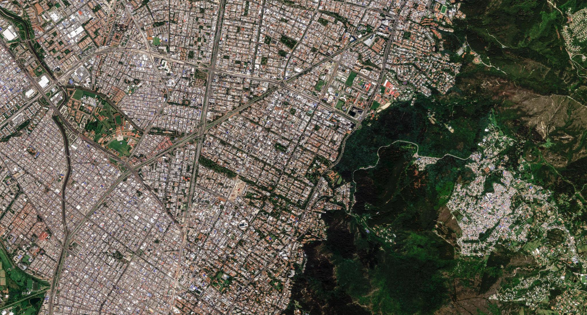
Pelican image of Bogotá, Colombia, captured October 28, 2026. © Planet Labs 2026. All rights reserved.
StoriesThis article is also available in the following languages: Spanish, Portuguese
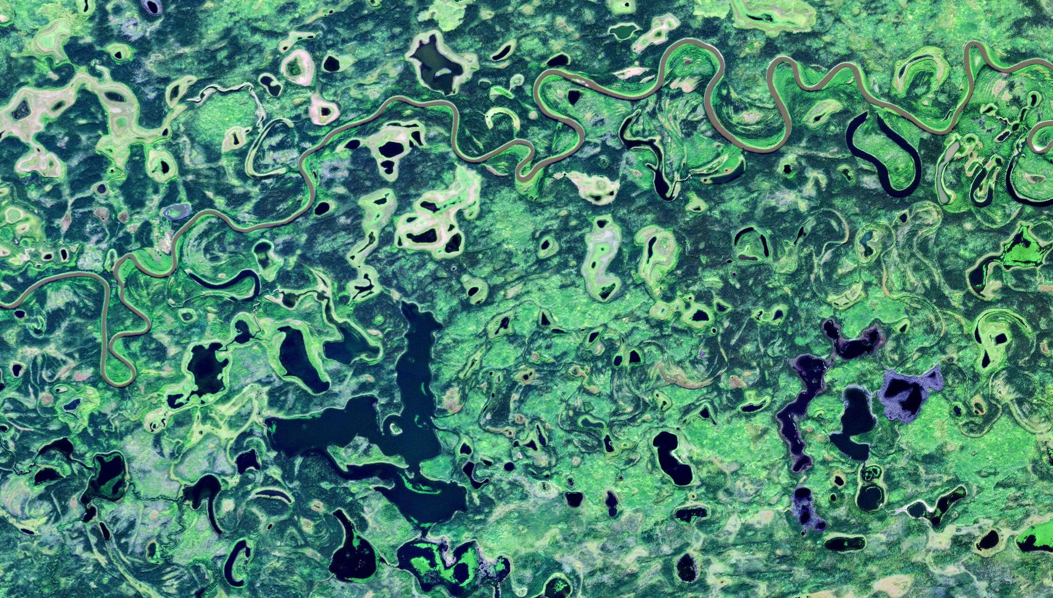
In Colombia, rural areas are very geographically diverse with rainforest ecosystems representing nearly 40% of the country's land area. In tandem, rapid urban development is transforming cities as horizontal expansion shifts to vertical density. Against this dynamic backdrop, government agencies lacked tools to successfully enforce environmental and economic policies at scale.
Monitoring change through manual inspection alone was extremely challenging. While some agencies leveraged satellite data, siloed contracts created significant workflow friction and budget redundancies. In addition, cadastral data to verify property boundaries was outdated, compromising property rights enforcement and overall economic development.
At the center of this challenge was Colombia’s Instituto Geográfico Agustín Codazzi (IGAC), which is responsible for creating official maps and managing national property records. Through strategic collaboration with Planet and Procalculo, access to satellite data was democratized to integrate geospatial tools and insights into everyday public administration across government sectors.
Streamlining and Expanding Access to Critical Data
To unify access to satellite data nationwide, IGAC developed the Observatorio de la Tierra y el Territorio (OTT) platform — a central hub for geospatial data and tools. It also consolidated data procurement to significantly reduce costs.
Planet near-daily data provides the foundational geospatial intelligence, with frequent images in cloud-free windows across 114 million hectares. This is particularly valuable in tropical Colombia, which is often cloudy. This high-frequency data powers dense time series analysis, multitemporal analytics, and automated change detection.
And Planet partner Procalculo played a critical role in the success of the OTT by coordinating system adoption. Their oversight resulted in outstanding user engagement and trust, with over 3,000 OTT users across 95 agencies.
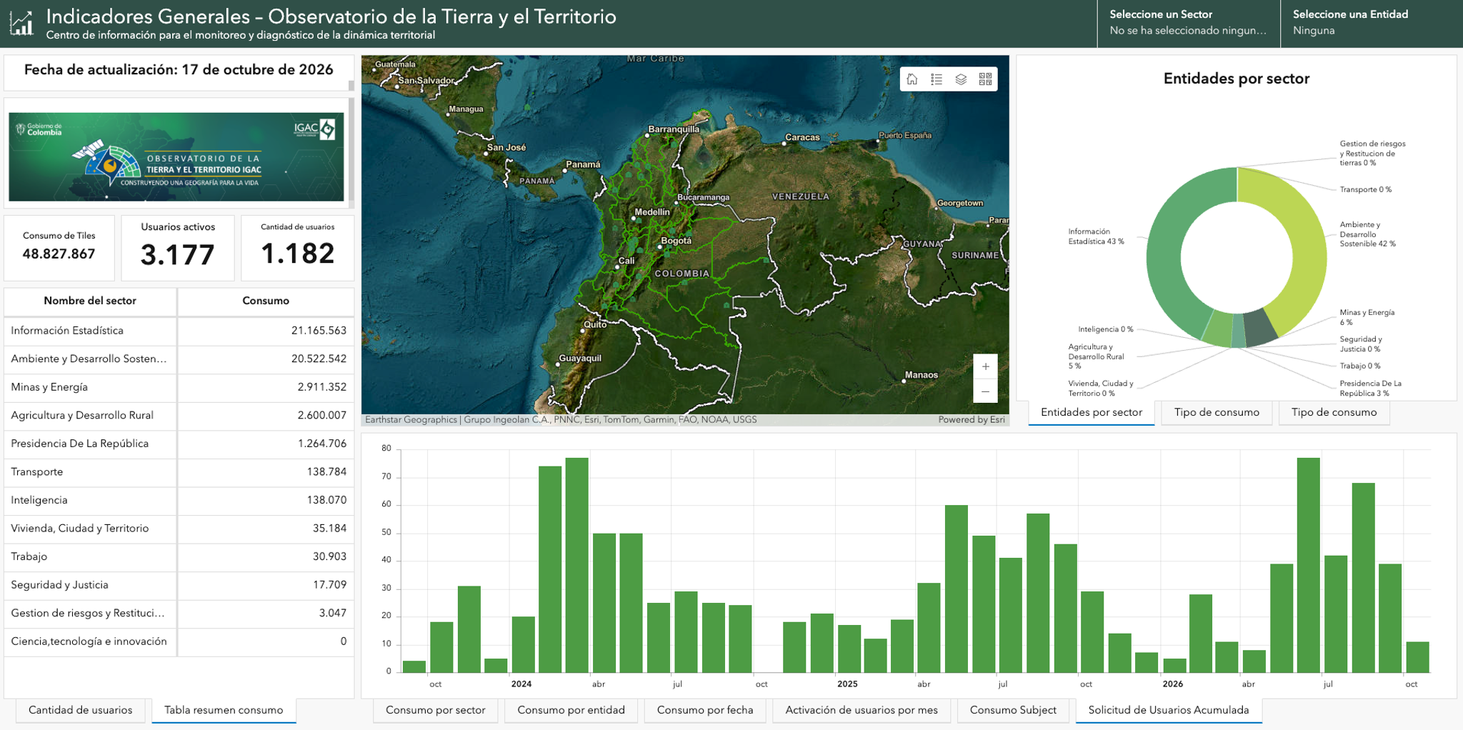
The OTT provides centralized access to satellite data and tools. This dashboard displays engagement metrics for 3,000+ platform users.
The OTT is anchored around several key capabilities:
- Data integrity: Current and reliable Planet data is continually available for multitemporal analysis.
- Advanced analytics: AI-driven tools help identify change and validate threats across broad areas.
- Platform integrations: QGIS and ArcGIS Pro plug-ins connect the OTT to established workflows and tools.
- Effective data management: The system and operations are managed by a capable team, in compliance with the national guidelines.
- Partnerships with state entities: Regional agencies receive technical support and access to feedback loops to continually strengthen the OTT.
Felipe Trujillo Gutiérrez, the Legal Representative of Procalculo, shared, "By aligning Planet's daily revisit capabilities with IGAC's strategic vision, we have transformed satellite observation from an isolated effort into a shared institutional capability. At Procalculo, we are proud to serve as the technology partner providing this strategic infrastructure, enabling the Colombian State to manage its territory based on up-to-date, reliable evidence."
Turning Policy Goals Into Outcomes
The Observatorio de la Tierra y el Territorio (OTT) has allowed agencies across Colombia to accelerate operational decision-making, with significant gains in cadastral planning and environmental protection.
Cadastral Planning
As the official record of real property boundaries, ownership, valuation, and rights, a cadaster serves as the fundamental spatial backbone of modern public administration. Outdated cadastral data nationwide was a significant obstacle in property rights enforcement and overall economic development.
With the OTT, IGAC analysts use near-daily Planet imagery and analytic tools to identify construction and land use patterns at scale — including building footprints, road openings, and land subdivisions — to guide timely cadastral updating processes and optimize manual inspections.
As a result, IGAC has built an evidence-based system to drive urban planning, social equity, and legal stability.
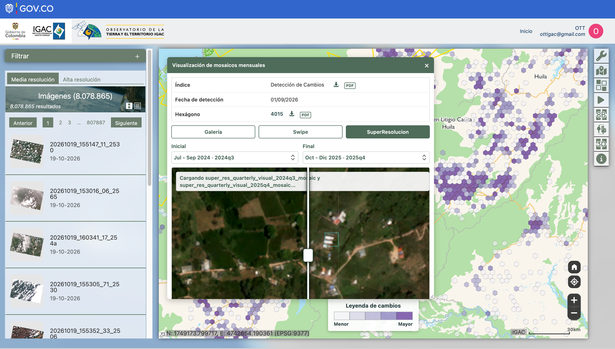
Building detection tools in OTT are powered by near-daily Planet data. Dark purple areas denote significant changes in building construction, which can be seen in detail in the pop-up window. These analytics verify where field inspections are (and are not) needed, to help officials allocate resources efficiently.
Environmental Protection
Preserving biodiversity in the Amazon and across national parks is a priority for the Colombian government. Monitoring change across vast and often remote areas with traditional tactics was slow, resource intensive, and vulnerable to blind spots.
Now, agencies use the OTT to detect potential threats and respond in days instead of months. Unpermitted roads, forest clearing lines, and vegetation changes can all suggest policy infringement, and a swift response can curtail activity and limit the scope of damage.
A Strong and Stable Future
Under IGAC’s leadership, the OTT has been established not only as a technological platform, but as a shared institutional capability to support land monitoring, risk management, legal certainty, and sustainable development.
And through ongoing collaboration with Planet and Procalculo, IGAC will continually enhance capabilities to improve operational decision-making across public administration. For the citizens of Colombia, this translates to more accurate property records for landowners, a swifter response for families in disaster zones, and better-protected ecosystems for future generations.
Read our full case study to learn more about how IGAC is using Planet data and solutions to achieve policy goals.