Drones or Satellites: The Ultimate Precision Agriculture Choice
We’re keeping the great stories flowing on our Medium publication: Planet Stories. In our latest post, we worked with our precision agriculture customer FarmLogs and their recent report – “Six Reasons Satellite Imagery Trumps Drone Imagery in Agriculture” – to examine the role and impact of satellite imagery and aerial drones in the field.
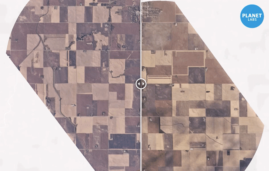
Planet Labs imagery documenting agriculture change over three days
FarmLogs is an innovative precision agriculture company that helps farmers across the country quickly identify crop threats. They use satellite imagery to detect change in the field and alert farmers to issues in a timely manner via their Crop Health Monitoring software. They have processed six years worth of RapidEye imagery, built their own data pipeline, and developed proprietary algorithms to reliably detect relevant in-field change within satellite imagery.
If you’ve ever wondered about the differences between satellite and drone imagery, and how growers use imagery to put delicious vegetables on your plate, look no further. Read the piece.
Learn about our Agriculture Monitoring Programs.


)