Embracing Digital Transformation in Africa: Planet and the Government of Rwanda Launch National Satellite Data Program

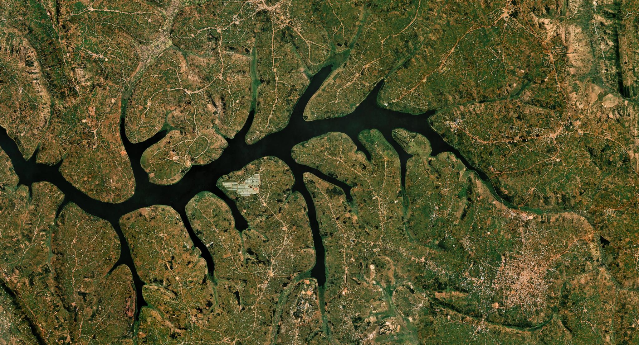
2024 Quarterly Planet Mosaic of Lake Muhazi in Rwanda. © 2024 Planet Labs PBC. All Rights Reserved.
NewsThis article was written in collaboration with Amy Rosenthal.
In June, Planet and the government of Rwanda through the Rwanda Space Agency unveiled a new national program to provide Planet imagery and daily feeds to governmental agencies, public universities, selected startups, and strategic development partners supporting national development initiatives and working with government agencies throughout the country.
Satellite data can have a transformational impact on government decision-making. In Rwanda, governmental entities will use this data to monitor agriculture and food security, track forest health and resilience, and refine urban planning and zoning. Planet data will also inform disaster reduction planning, response, and recovery, an area of growing importance across East Africa.
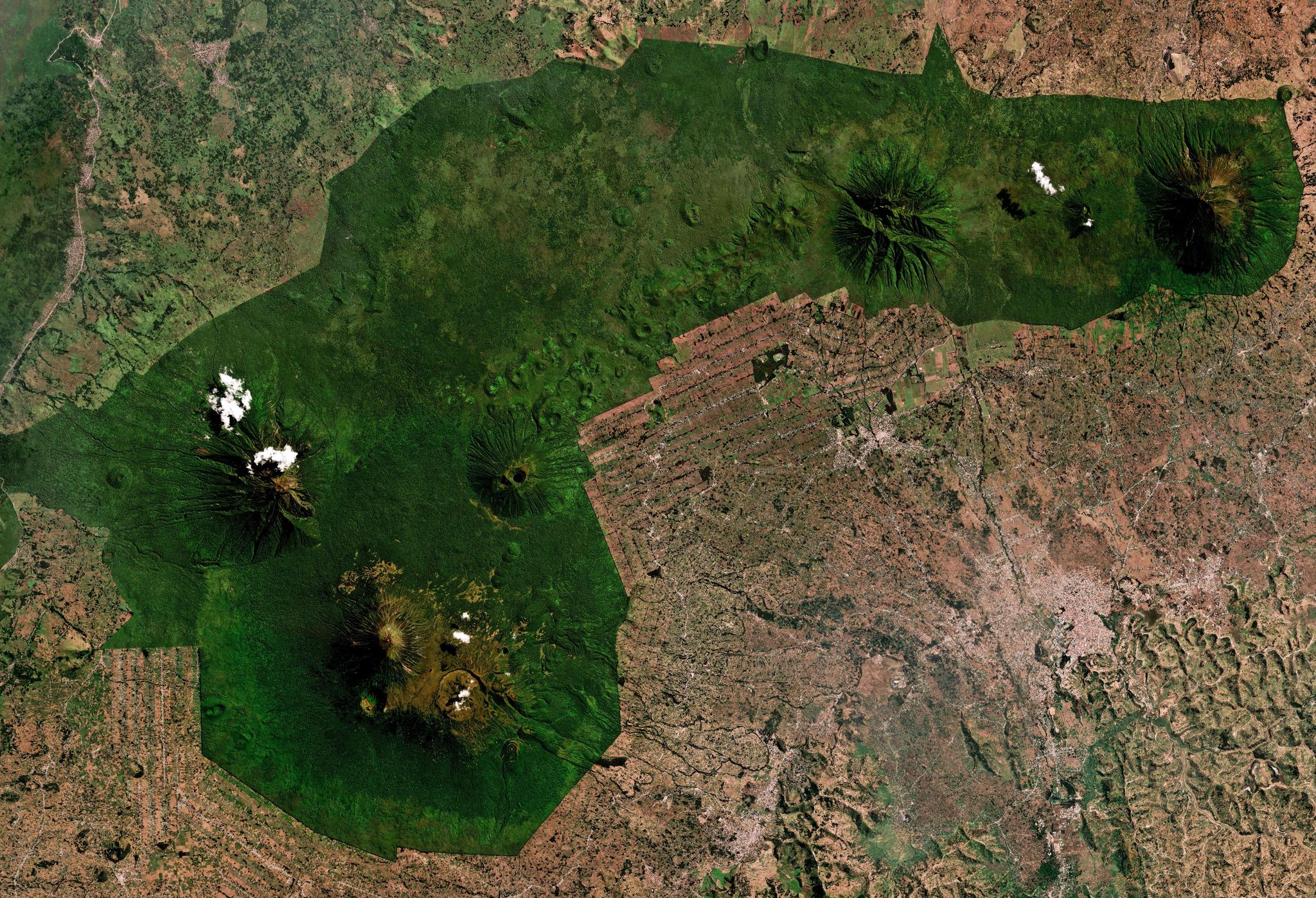
July 2024 Planet Mosaic of Volcanoes National Park, Rwanda.
The ability to analyze and interpret data, including satellite imagery, is a key 21st century capability. Therefore, this program will make Planet imagery and data available to public universities in Rwanda to train undergraduate students and develop new courses and degree programs, creating a pipeline of talent for the nation.
At the same time, Planet daily feeds have enormous potential for new business and economic growth. Startups representing core national interests in Rwanda will draw on Planet’s cutting-edge space data to catalyze inclusive economic development, advancing Rwanda’s reputation as a hub of innovation for East Africa.
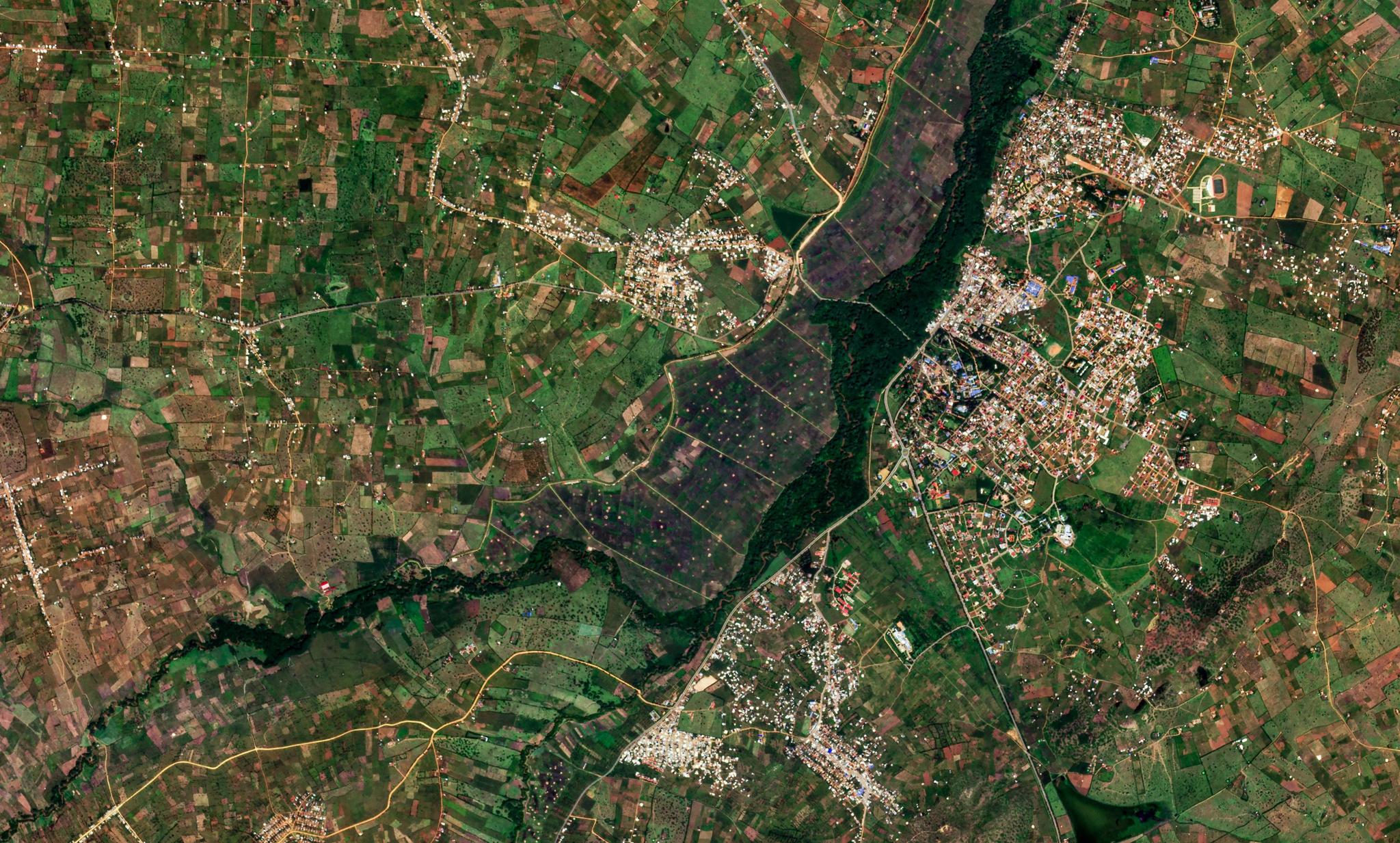
PlanetScope image of Nyagatare, Rwanda captured January 15, 2026.
This national technology and capacity program is managed by the Rwanda Space Agency. Through this initiative, the Agency is establishing high-resolution satellite imagery as a foundational tool for government-wide policy and decision support. The Agency will integrate this data across public universities and state bodies to transform operations in agriculture, spatial planning, urban management, and disaster response. It marks Planet’s first national program of its kind in Africa, following a pilot program in Zanzibar supported by the Tony Blair Institute and the World Bank.
“We’re thrilled to support the continuing story of African innovation. Rwanda continues to demonstrate a commitment to improving life with leading technologies, and we couldn’t be happier to play a supporting role in the country’s journey,” says Planet’s Chief Impact Officer Andrew Zolli.
National data and capacity programs like Rwanda’s magnify the impact of Planet data for education and research, inclusive economic development, and science-based policy. To learn about other ways Planet uses space to help life on Earth, see our FY25 Impact Report.