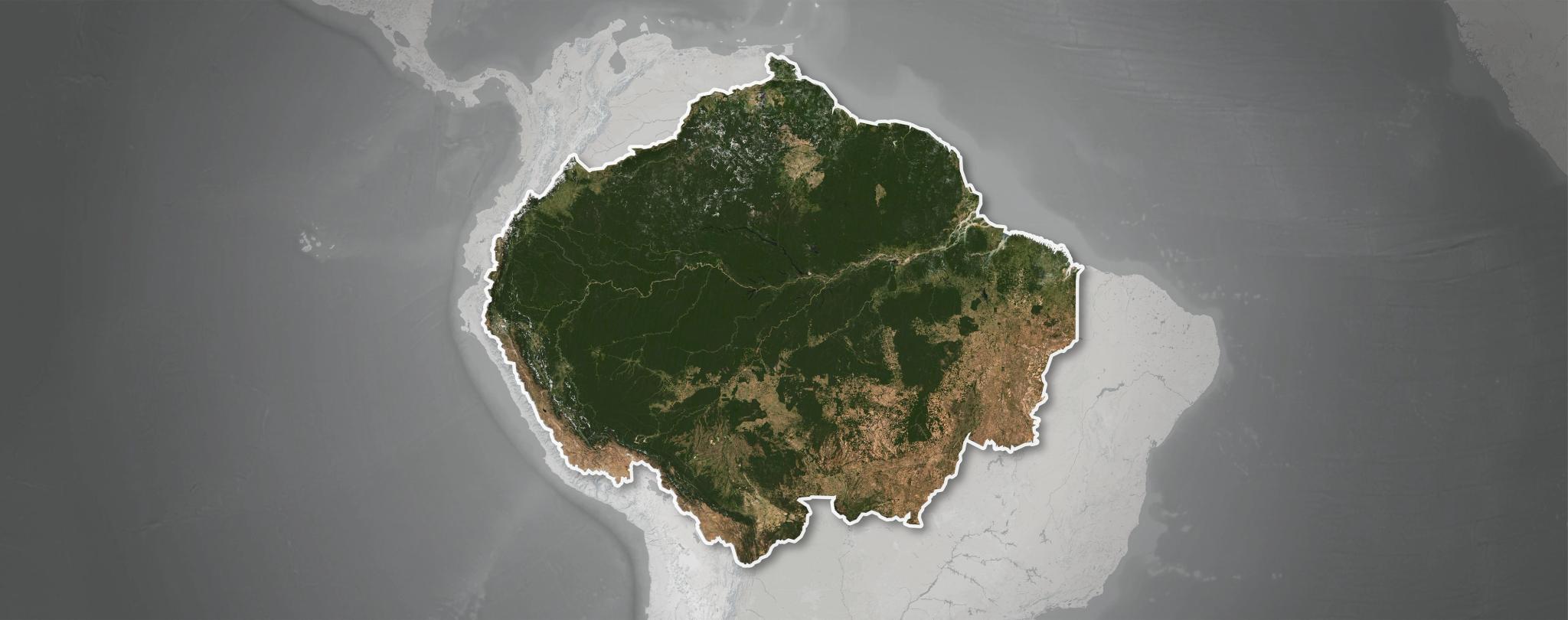
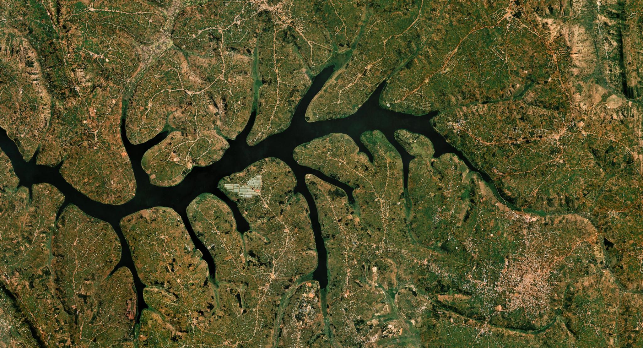
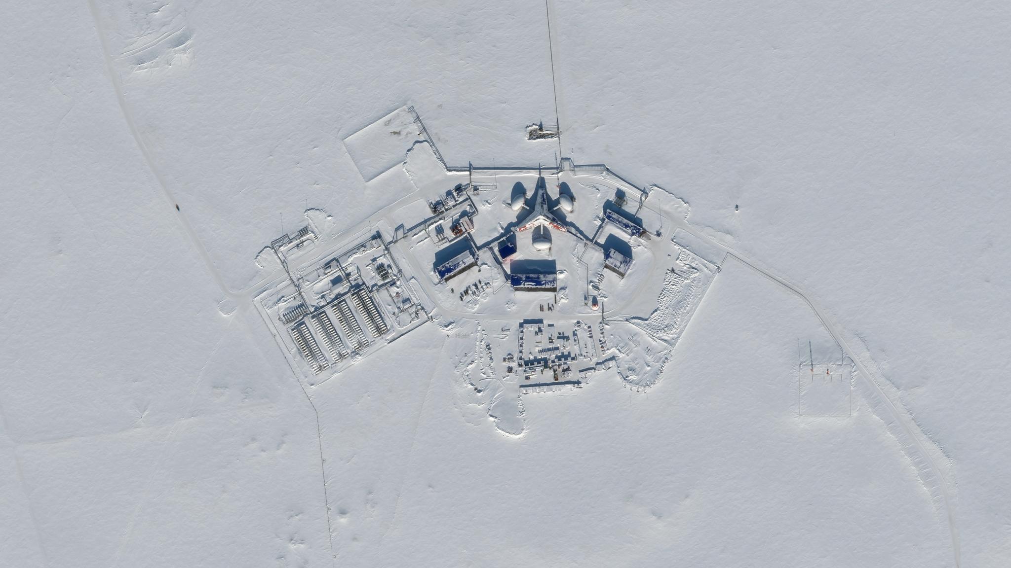
Introducing Populace: Mapping Humanity in Unprecedented Detail

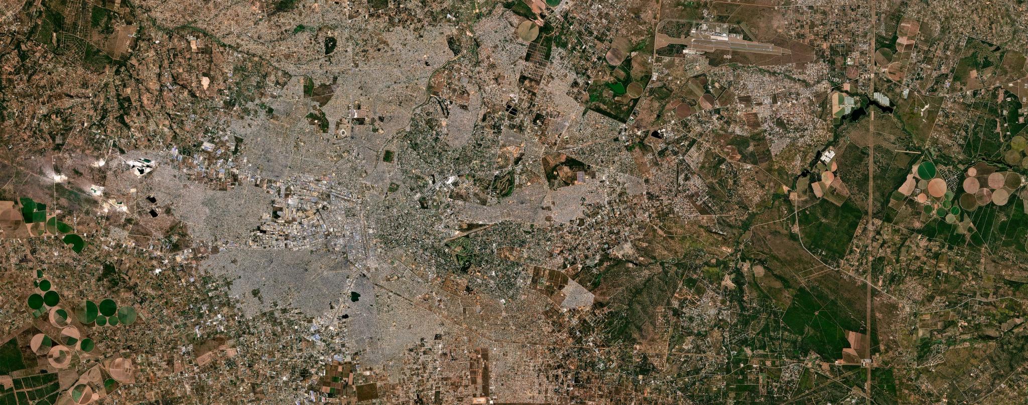
Planet Mosaic of Lusaka, Zambia, Zambia from September 2026. © Planet Labs 2026. All rights reserved.
NewsOf all the questions we ask of a map, perhaps none is more fundamental than this one: Where are the people?
It sounds like a question we should have answered long ago. Yet in an age of seemingly ubiquitous, real-time information, our picture of where humanity actually lives remains surprisingly blurry. Censuses are expensive, infrequent and, in many places, badly out of date. Cities across the Global South are growing far faster than their residents can be counted. Conflict, disaster, and climate stress are setting millions of people in motion. The result is that many of the world's most vulnerable communities are, in effect, invisible – and on a volatile, warming planet, invisibility can be fatal.
In early 2024, we announced a collaboration with the Institute for Health Metrics and Evaluation (IHME) at the University of Washington and Microsoft's AI for Good Lab to help close that gap. Today, I'm delighted to share that the results of this multi-year initiative are being made widely available.
The result is Populace: a continuously updated map of the world's population, realized in unprecedented detail. Populace measures the density of human populations across the entire globe at a gridded resolution of 40 meters, updated quarterly. It is the most up-to-date, highest resolution, and most accurate population data available anywhere – and it's available now.
Loading Video...
The population growth of Lusaka, Zambia, from 2020 to 2026, as revealed by Populace.
Three Partners, One Picture of Humanity
Populace is the product of a unique collaboration, one in which each partner Populace is the product of a unique collaboration, one in which each partner brings something singular.
It begins in orbit. Planet's fleet of satellites images the Earth's entire land mass nearly every day, providing a comprehensive, continuously refreshed record of the built environment – every new rooftop, road and settlement, wherever it appears. From that archive, we assemble high-quality, cloud-free quarterly basemaps of the planet.
Microsoft's AI for Good Lab then runs world-class machine learning models over those basemaps – trillions of pixels for every year of data – to detect where human structures are, and how their density changes over time.
Finally, IHME brings its deep expertise in spatial demography. Its researchers combine that building-density signal with census, survey, and administrative data, along with dozens of other predictors, to model how many people live in and around those structures. The result is a population estimate that remains reliable even where traditional data is sparse, stale, or missing altogether.
“At the AI for Good Lab, we believe that data and AI are among the most powerful tools we have to address the world's most critical humanitarian challenges,” said Juan Lavista Ferres, Chief Data Scientist at Microsoft and head of the AI for Good Lab. “But that potential is only realized when the right partners come together around a real problem. With Populace, we've helped turn a planet's worth of imagery into something deeply human: an understanding of where people are, so that governments and humanitarian organizations can reach them when it matters most.”
Who, Where and When: Critical Insights for Critical Challenges
High-resolution population data is one of those rare assets whose value compounds with every new question asked of it. Some of the most important applications include:
Understanding the Geography of Public Health Risk
Diseases move through populations differently depending on how those populations are clustered. Knowing precisely where people live – and how densely – helps public health officials target vaccination campaigns, site clinics, model the spread of infectious disease, and understand who is exposed to hazards like extreme heat and air pollution.
Planning Roads and Civil Infrastructure
Every road, school, hospital, water system, and power line is a bet on where people are, and where they will be. Populace gives planners a far sharper picture of both, helping ensure that public investment reaches the communities that actually need it.
Preparing for the 2030 Census Round
National statistical offices around the world are now gearing up for the next global round of censuses. Up-to-date population maps can help them draw enumeration areas, allocate field staff, identify fast-growing settlements that might otherwise be missed, and validate results once the counting is done.
Accelerating Humanitarian Response
When an earthquake, flood, or cyclone strikes, the first questions responders ask are how many people are affected, and where? Overlaying Populace with Planet post-disaster imagery can help answer those questions in hours rather than weeks, guiding search-and-rescue, relief distribution, and recovery.
Building Early Warning Systems for Climate-Linked Disasters
Perhaps most importantly, when population data is layered with spatial models of climate hazards – drought, heat, flooding, food insecurity – it becomes possible to estimate how many people face a given risk before a crisis begins. That, in turn, enables anticipatory action: getting help to vulnerable communities early, when it is cheaper, more effective and more humane.
“The public health challenges of the 21st century are more complex, more interconnected and more urgent than ever before,” said Dr. Christopher Murray, Professor at the University of Washington and Director of IHME. “Climate change, rapid urbanization, migration and emerging infectious diseases are reshaping who is at risk, and where. We cannot address risks we cannot see. Populace gives the global health community a far more timely and granular foundation for understanding those risks – and that kind of data is exactly what we need to protect lives in the decades ahead.”
Loading Video...
The population growth of the Umm Sangur refugee camp in Sudan, 2020-2026.
Open to Those Who Need It Most
From the very beginning, Populace was built to be used widely. That's why it is available today, free of charge, under noncommercial licensing terms to nonprofit organizations and academic researchers at populace.healthdata.org. Governments and private-sector organizations will be able to access Populace under commercial-use terms, and under more recent quarterly update periods, so that national agencies, development banks, insurers, infrastructure planners and others can put it to work as well.
As a Public Benefit Corporation, Planet's mission is to use space to help life on Earth. Few things express that mission more directly than helping the world see itself clearly – not as an abstraction of borders and statistics, but as billions of individual lives, each located somewhere specific, each exposed to a particular set of risks and opportunities.
We live in an era in which the future arrives unevenly, and the disruptions we face are growing more frequent and more severe. Navigating that world wisely requires many things, but it begins with something simple: knowing where everyone is, so that no one is left off the map.
We — and our partners — can't wait to see what you build with Populace. To learn more or explore the data, visit populace.healthdata.org.