Introducing the Planet AI App: Search. Explore. Act.

AI chat apps are now incredibly adept at answering our questions about human knowledge. But for all their power, they are fundamentally blind to the physical world. If a farmer asks how to improve their crop yield, a chatbot will give the agricultural theory but know nothing about their field today. Same for a first responder facing a flood or a journalist investigating a landslide.
In short, today’s chatbots live only in the digital world. That’s why I’m excited to share that my team at Planet has built an application that takes the power of the AI chat app into the physical domain.
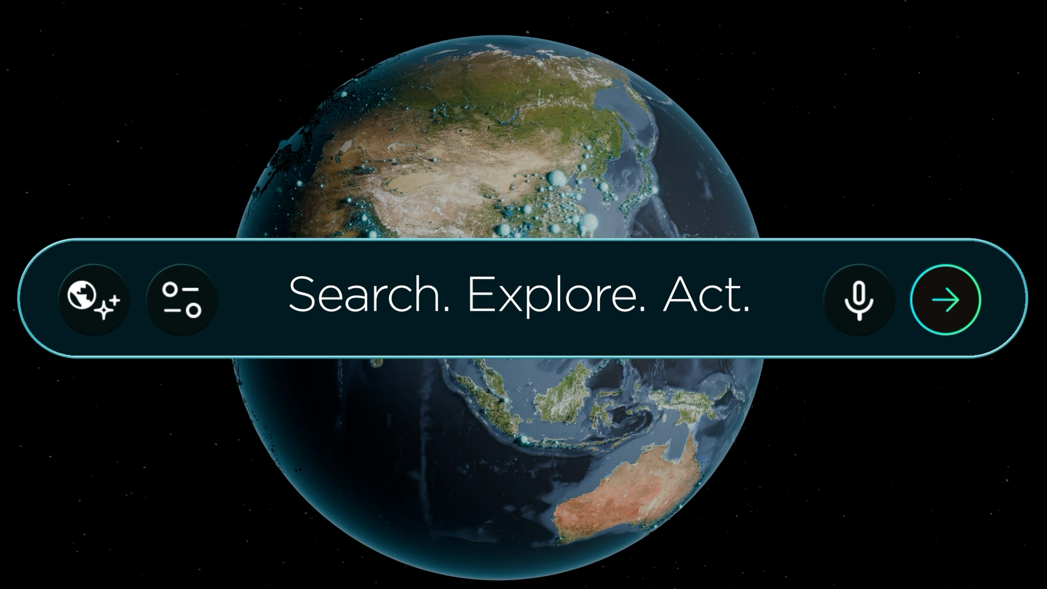
The new Planet AI app lets users search ten years of Planet imagery to find sites of interest, explore how they’ve changed over time, and contextualize what they find with publicly available information, all in a simple, map-based chat interface. Locally and globally. Through space and through time. Beginning today, anyone can use this tool to explore their hunches and messy questions using everyday language.
What We Learned From Beta Users
This summer, hundreds of users tried an early version of the app, and we learned a lot from their experience. Perhaps most notably, we learned that many of them really liked using the tool in the discovery phase of their work, when they were determining where to search or start their analysis.
One user told us they'd never scroll across an entire desert by hand, so without a tool like this, certain searches simply wouldn’t happen. Another said that AI could help point their team in the right direction and save time. So we built recent enhancements in the app around what’s needed at the beginning of an analysis.
Search. Explore. Act.
Our AI-enabled search accelerates this initial phase of geospatial analysis with several key capabilities:
- Search the planet. You no longer need to know where to look to find the imagery you want. Now you can simply describe what you're looking for and AI will search vast areas to find places that match. The large language models interpret your requests and then query a searchable vector map of the globe based on AI interpretation of visual features in our monthly mosaics.
- Investigate change over time. Because the app has access to over ten years of proprietary Planet data, it can search back in time to help identify what changed when, and even share a side-by-side comparison or timelapse. Every result is grounded in Planet imagery that you can inspect yourself to verify what AI finds.
- Analyze: Automatically deploy agents to do complex analysis using Deep Research. Users can upload external files like images or CSVs to enrich the analysis, track trends regularly, and set up scheduled reporting.
- Accessible anywhere and shareable. The user experience in our AI app is intuitive. Unlike GIS software, users do not need training to start using it successfully. There are no complicated toolbars or menus to navigate. Explore from your desktop or your phone, whether you're at your desk or out in the field. Snapshots or timelapses can be easily shared.
With these core capabilities, our AI app democratizes access to geospatial insights, allowing you to minimize the time needed to turn a hunch into a question — or even a hypothesis.
Loading Video...
Fast Insights for Fast Action: Ecological Conservation and Compliance
Some of the most compelling early uses of the app have focused on environmental protection and land stewardship.
Conservation teams are testing the tool to monitor vast habitats, spot illegal encroachment or fire threats, and verify automated deforestation alerts with imagery before deploying field patrols. By pairing conversational search with time-series comparisons, analysts can track vegetation recovery over time and isolate comparable baseline habitats to prove conservation impact to stakeholders.
Meanwhile, environmental compliance teams demonstrated that they can use AI-enabled search to locate and prioritize industrial sites across entire counties based on proximity to waterways. Workflows that historically took days of manual GIS scanning can now surface high-priority inspection targets in minutes — giving frontline teams the clear visual evidence they need to act fast.
One Step Towards Planetary Intelligence
For most of Planet’s history, getting value from our data entailed understanding how to analyze it. AI-enabled search removes this barrier by making it easier to explore and benefit from our archive. It’s part of a bigger idea we call Planetary Intelligence: pairing daily satellite imagery with AI to deliver powerful insights about our changing planet in near-real time, to help life on Earth adapt and thrive.
Today’s AI-enabled search is just the beginning. We look forward to incorporating AI into more of Planet's offerings to help deliver more value for our users. Have an idea about what you’d like to see next? You can use the “share feedback” button on the main menu of the app to share it with us. We welcome your feedback!
What Will You Discover?
It’s easy to get started. Just sign up and start exploring at ai.planet.com. Right now, access is free! Sign in with a Planet Insights account to more easily access premium capabilities in the future.
So go ahead: start exploring those hunches. See what you can discover. When you find something interesting, we encourage you to share it with us or with your community!