NewsNewsSynMax Intelligence Enhances Maritime Domain Awareness with Daily Satellite Imagery, Expert Analysis, and Advanced AI ModelsAriana Sexton |March 12, 2025|3 min readRead more
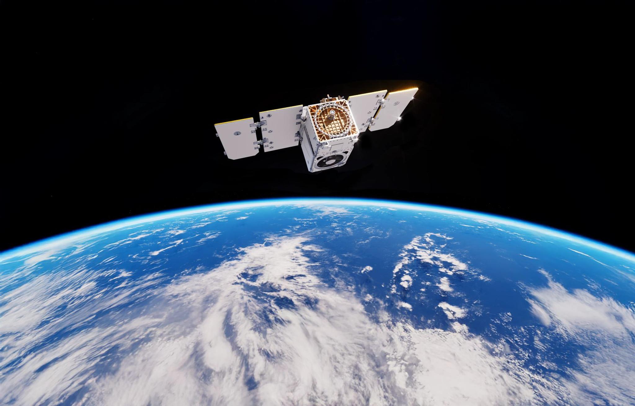
TechTechThe Planet Satellite Constellations: A Synergistic System Collecting Earth Data InsightsPlanet Labs PBC |February 27, 2025|6 min readRead more
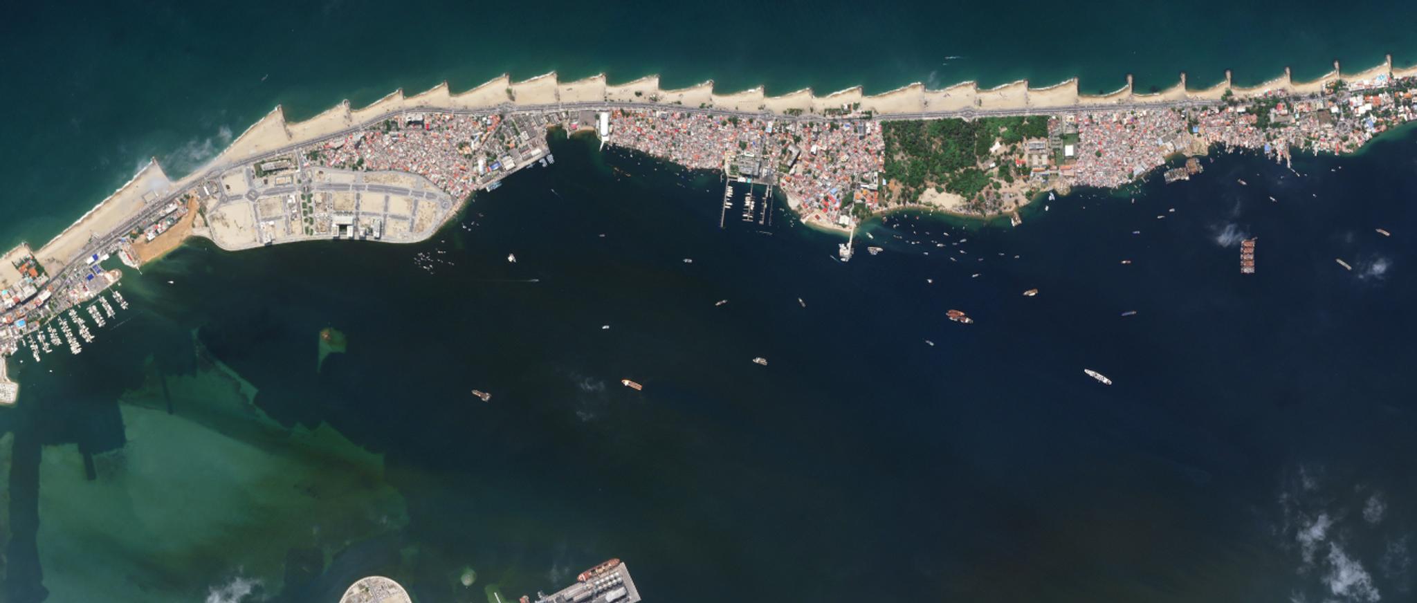
TechTechWhy Satellite Imagery Is Critical to Maritime Domain Awareness SolutionsMolly Hamm |February 25, 2025|6 min readRead more
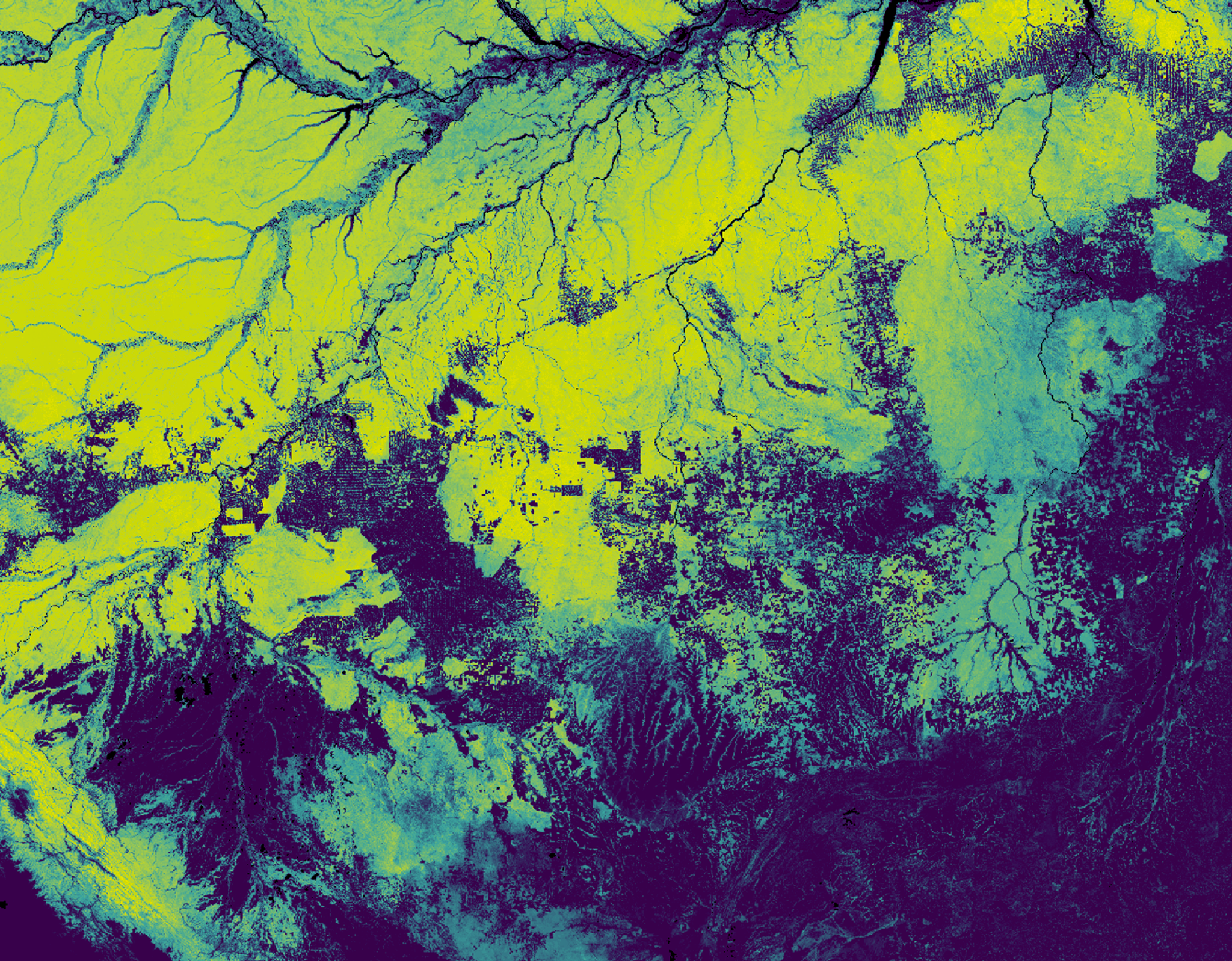
StoriesStoriesPlanet Partners Leverage Forest Carbon MonitoringAriana Sexton |February 18, 2025|6 min readRead more
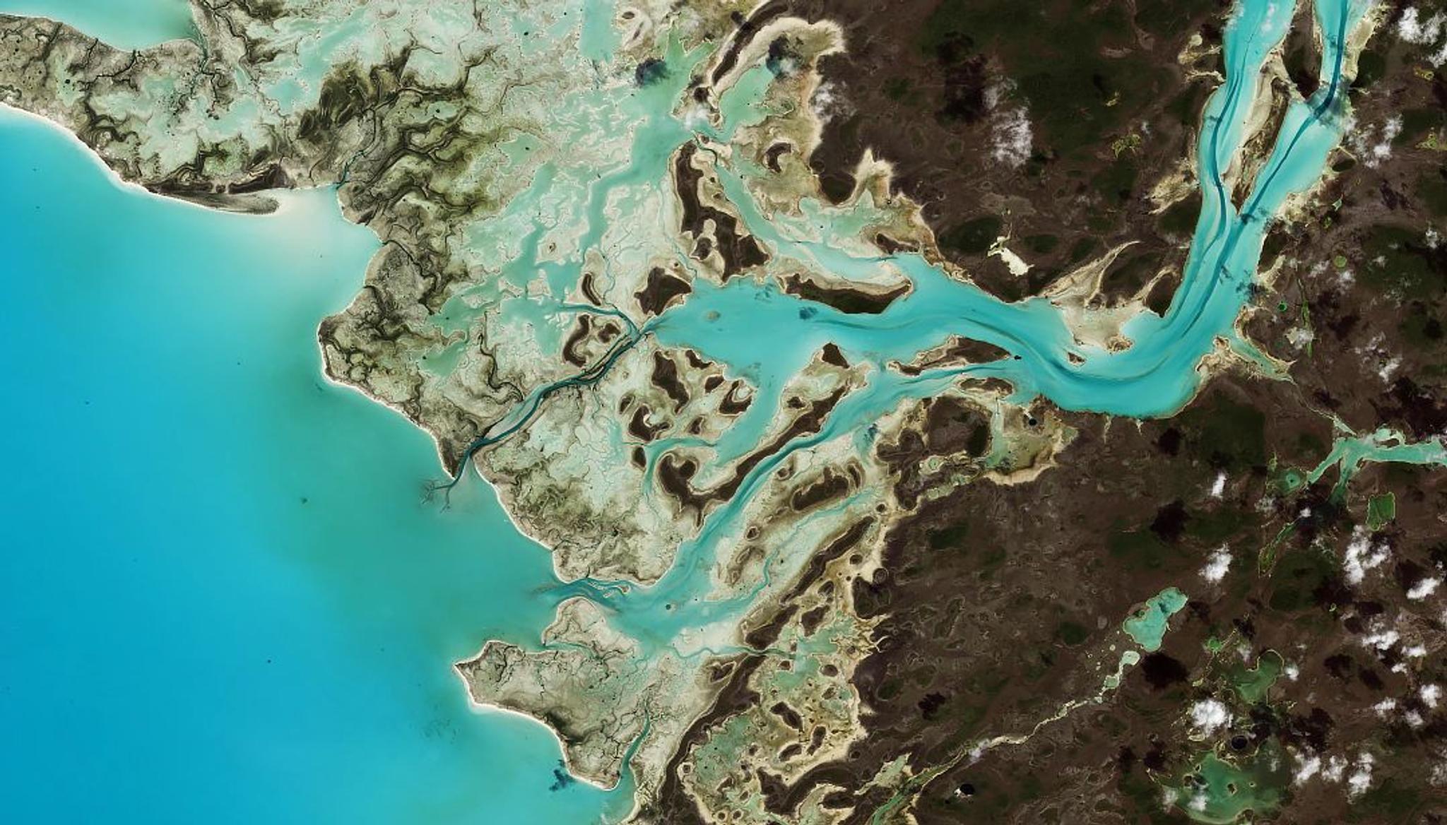
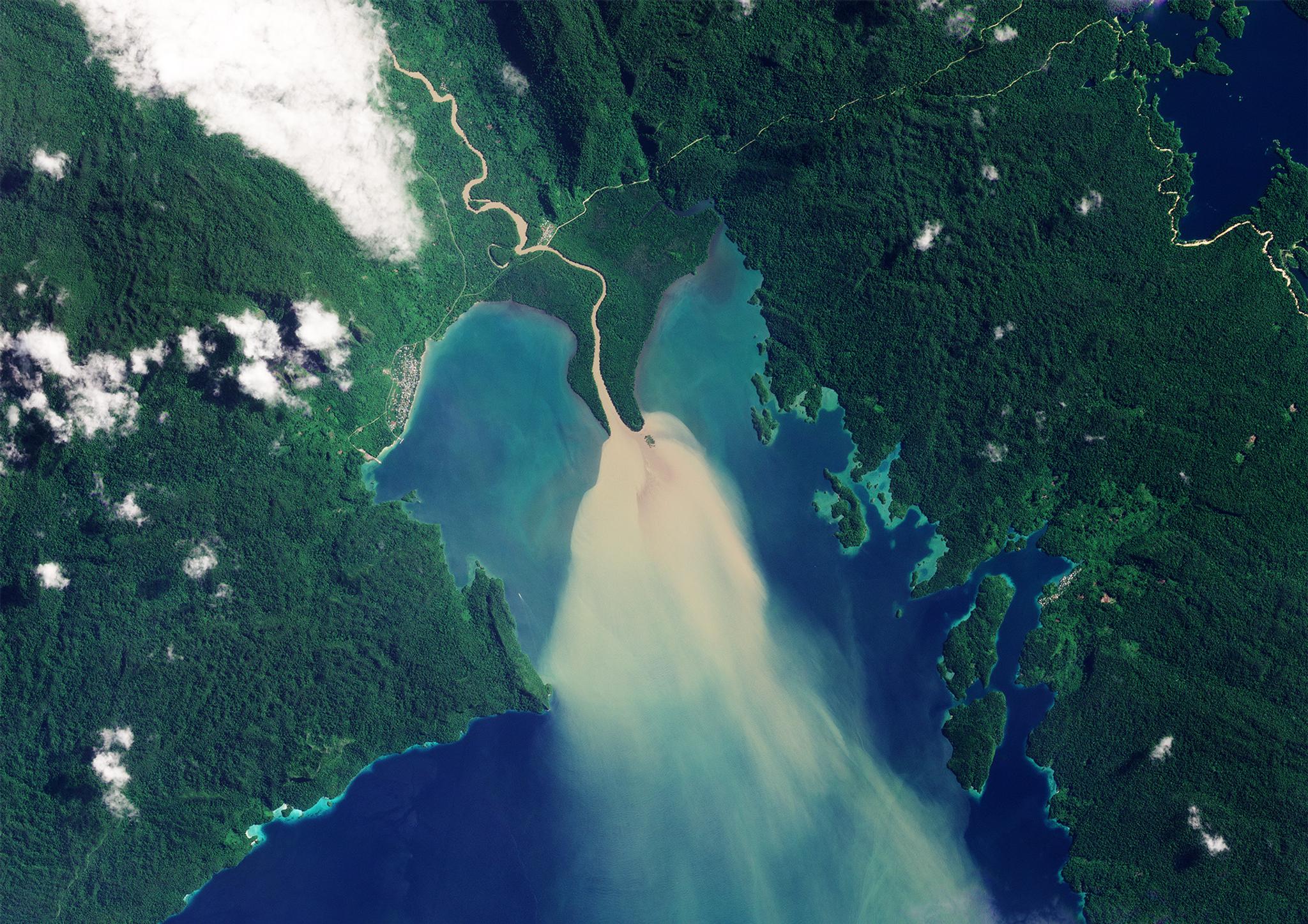
TechTechMonitoring Coastal Habitats That Support Local Communities and Diverse EcosystemsMolly Hamm |February 13, 2025|5 min readRead more
StoriesStoriesA Guide to Carbon Farming and What it Means for Global Sustainability EffortsPlanet Labs PBC |February 6, 2025|7 min readRead more
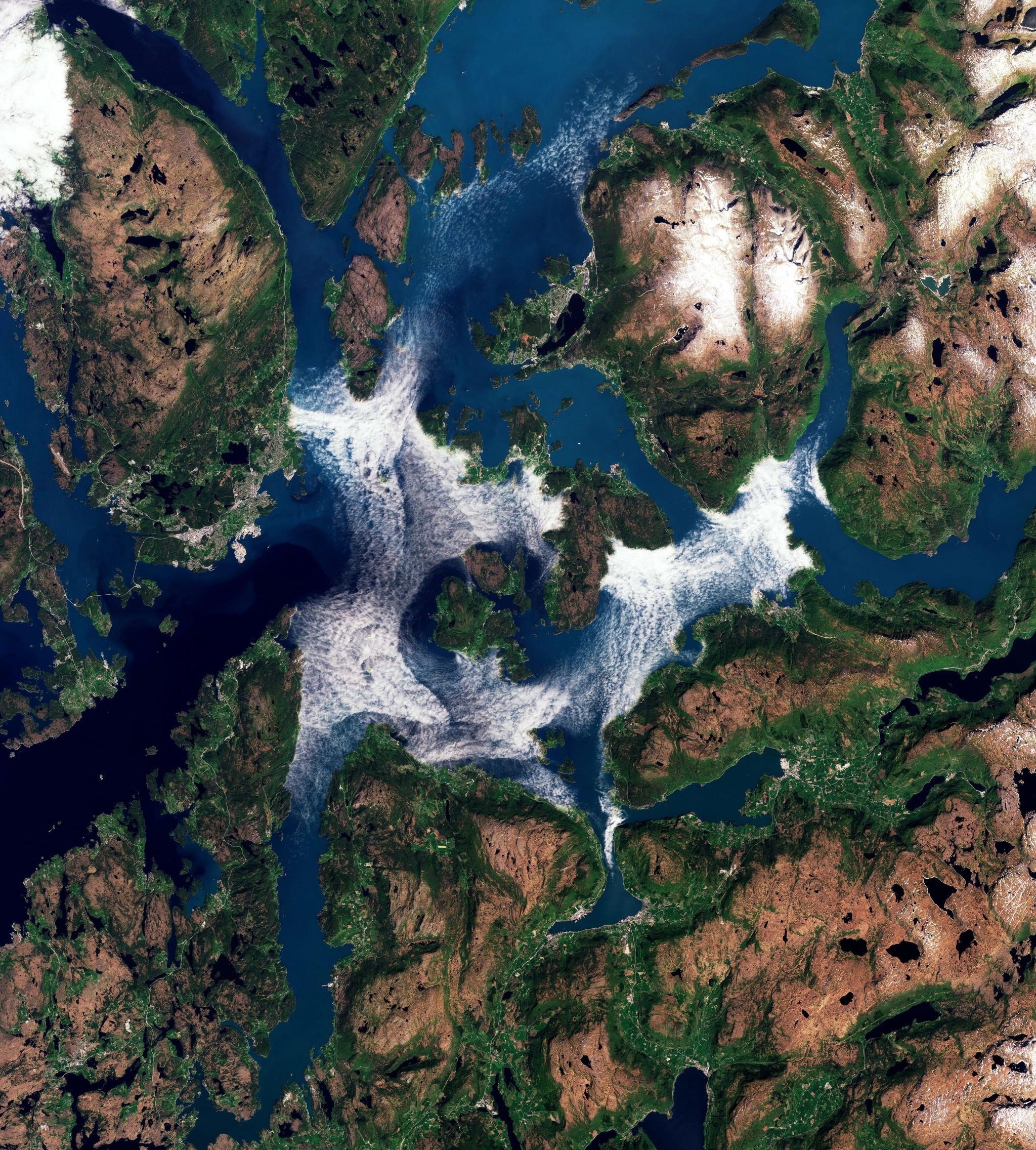
StoriesStoriesWhy Satellite Data Is Asia-Pacific’s Greatest Ally in 2025Janeth Fule |February 5, 2025|7 min readRead more
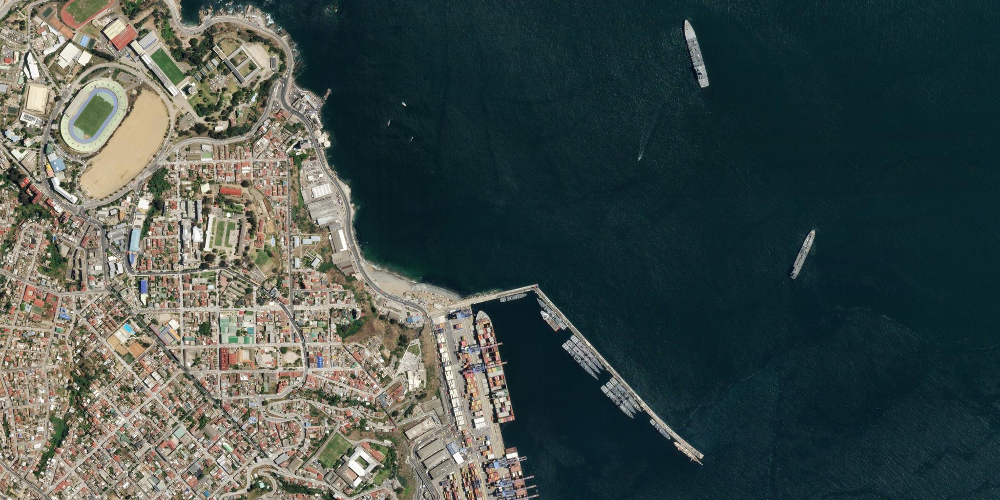
TechTechHow Planet's Distinctive Approach to Global Monitoring Sets a New Standard for Defense AnalystsMolly Hamm |January 30, 2025|6 min readRead more
NewsNewsIndustry Leaders Join Planet AI Symposium: A Virtual Event Exploring the Future of “Geospatial Artificial Intelligence”Planet Labs PBC |January 30, 2025|5 min readRead more
StoriesStoriesAI-enabled Insights from Publications Leveraging Planet DataPlanet Labs PBC |January 28, 2025|8 min readRead more
NewsNewsPlanet President Shares Business Insights at Needham Investor ConferencePlanet Labs PBC |January 23, 2025|10 min readRead more
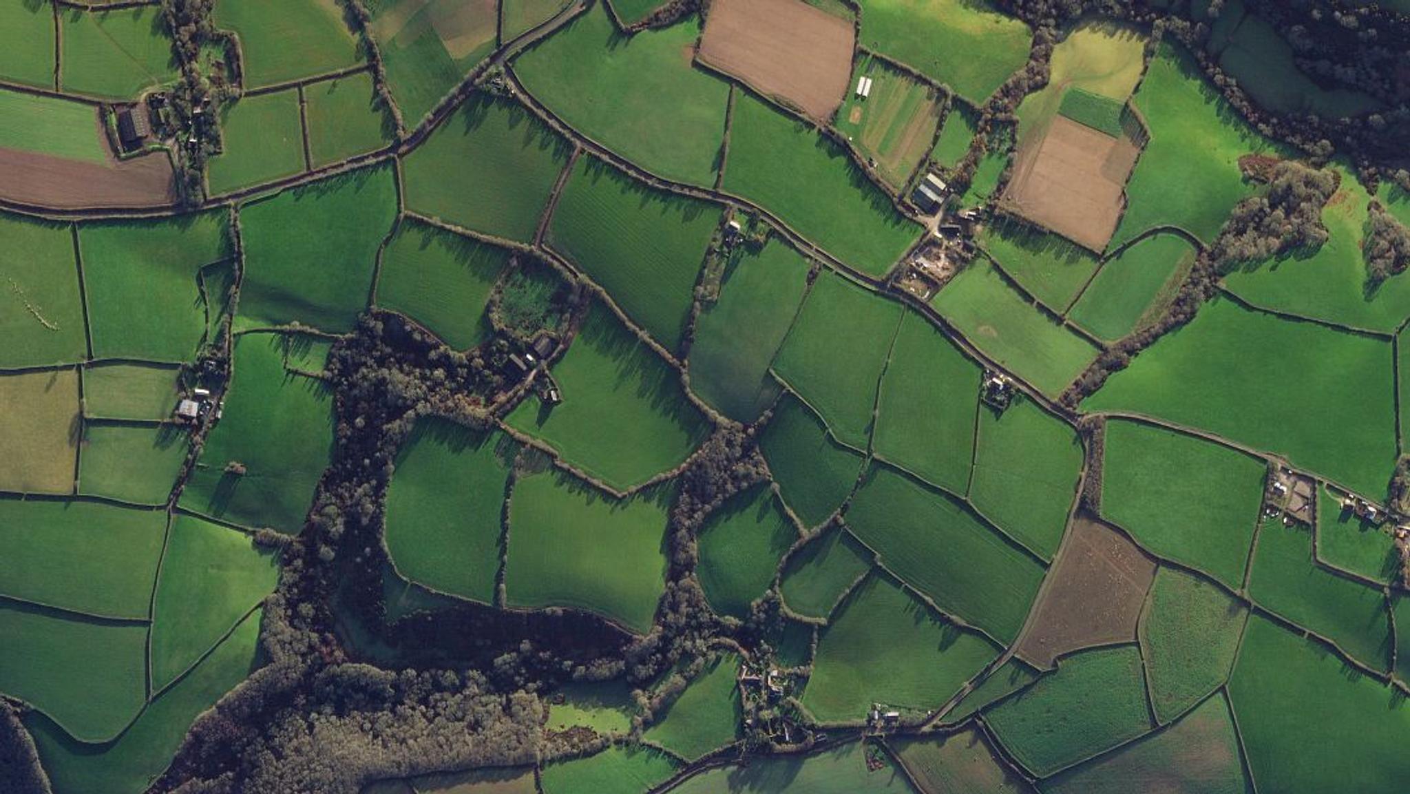
TechTechFrom Satellite Data to Actionable Insights: Predicting Hay Yield for North Dakota with Planetary VariablesStephanie Gijsbers |January 23, 2025|5 min readRead more