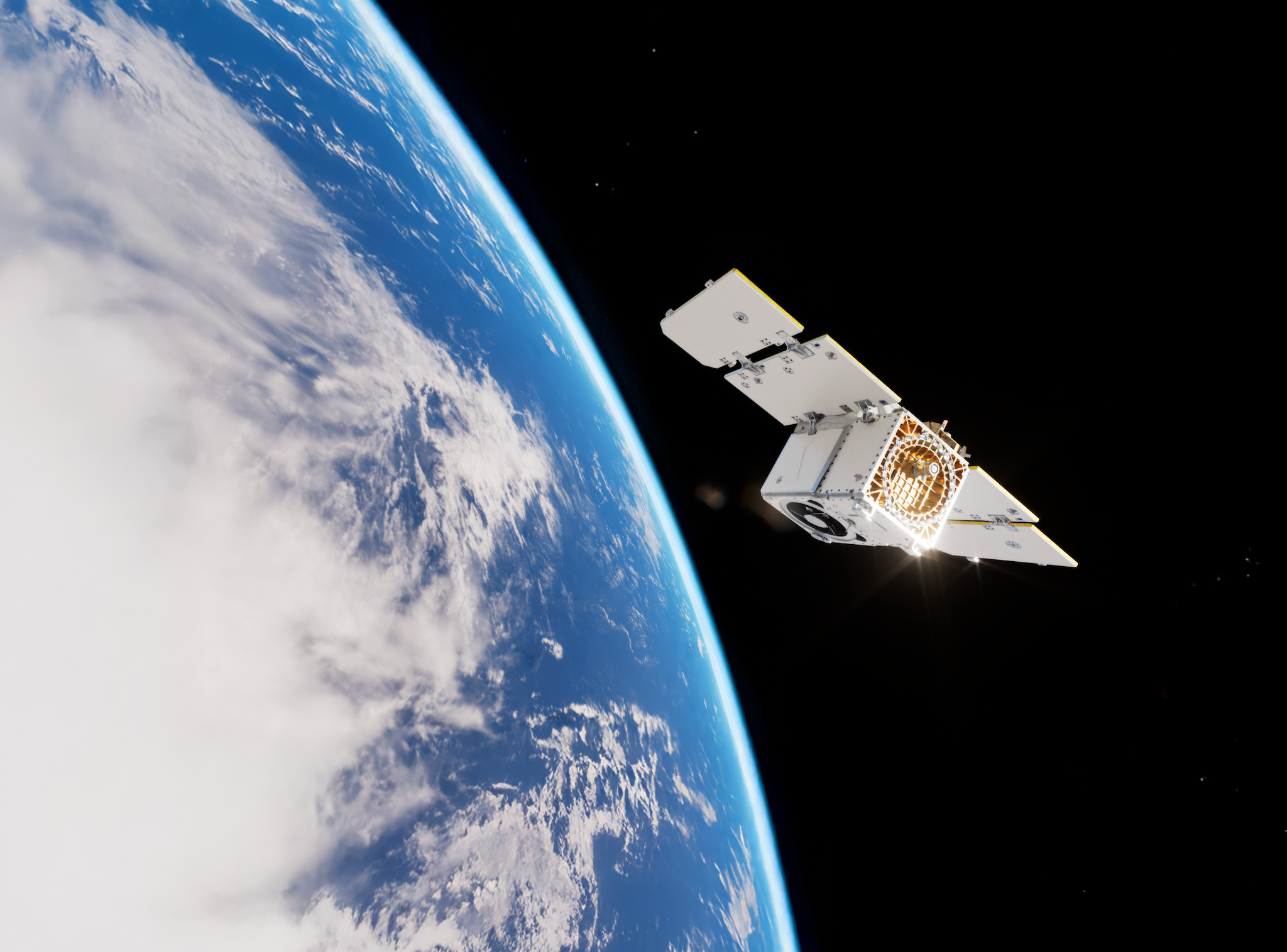
NewsNewsPlanet Launches High-Resolution Pelican-2 Satellite & 36 SuperDovesPlanet Labs PBC |January 14, 2025|4 min readRead more
NewsNewsPlanet Rings in 2025 by Welcoming Two New Executive Team MembersWill Marshall |January 7, 2025|3 min readRead more
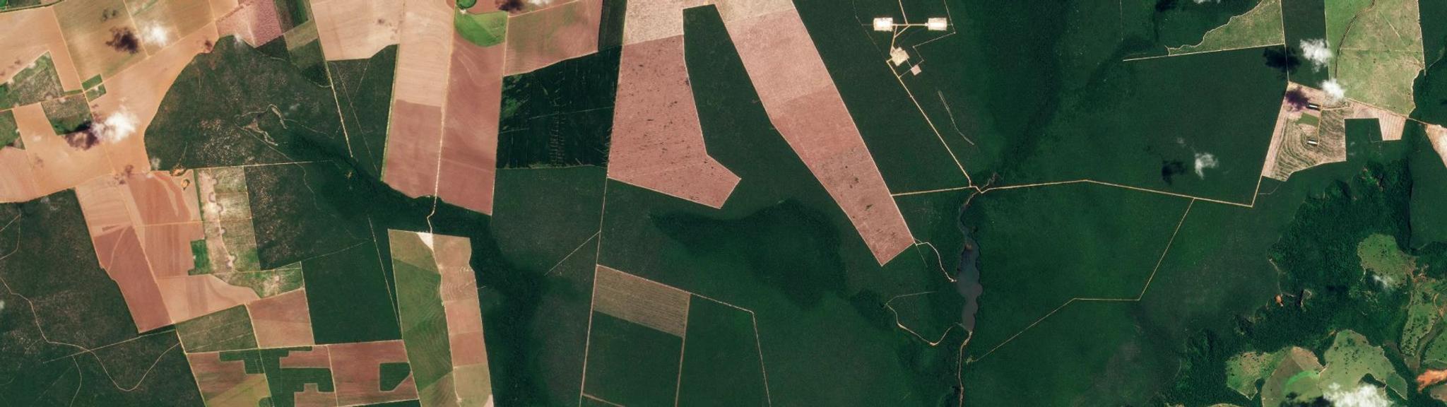
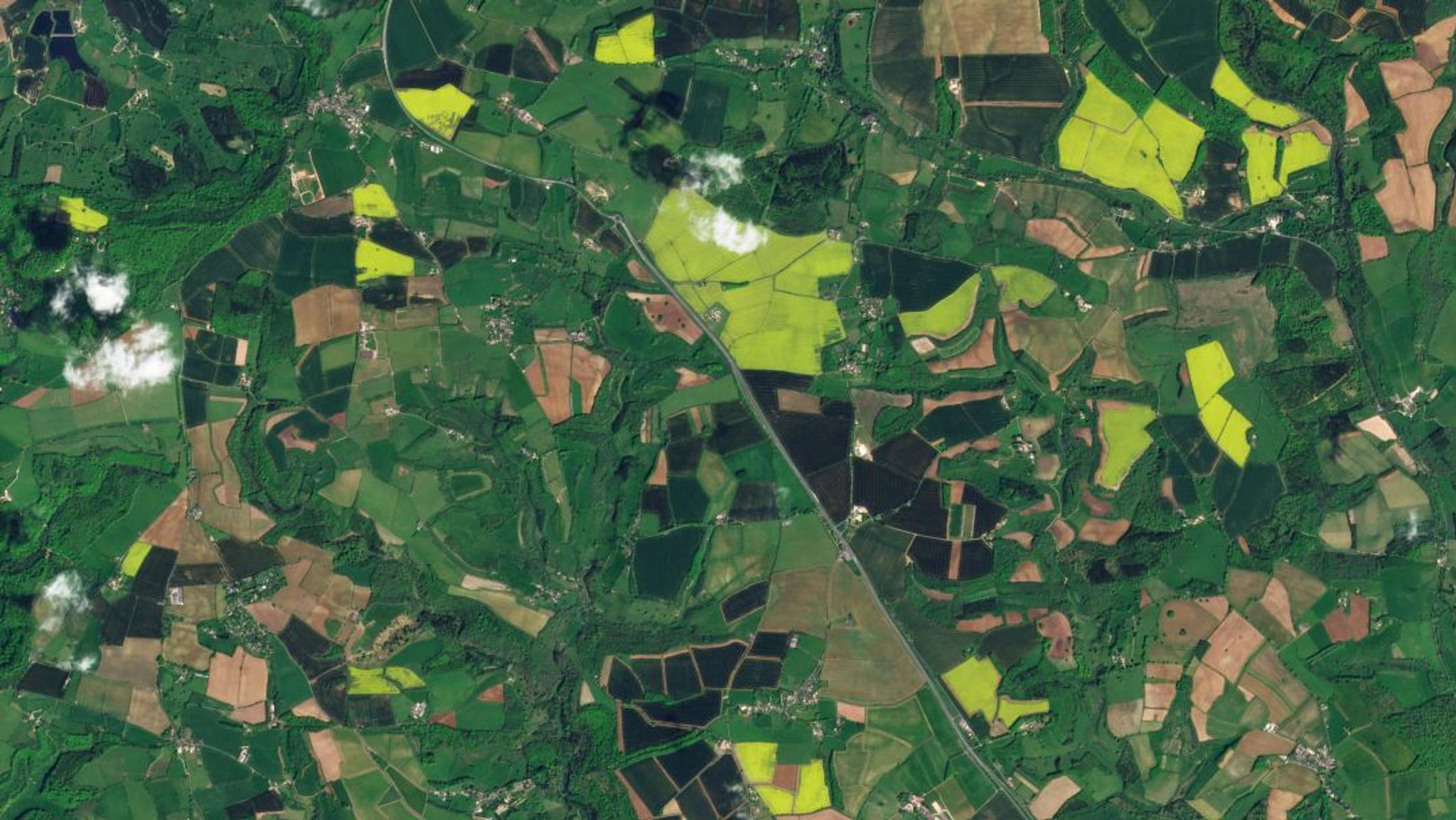
TechTechLeveraging Satellite-Based Solutions for Illegal LoggingMolly Hamm |December 17, 2024|5 min readRead more
StoriesStoriesThe EO Industry in 2025: Emerging Technologies and Shifting Policies Usher in a New Era for Space InnovationAshley Johnson |December 17, 2024|8 min readRead more
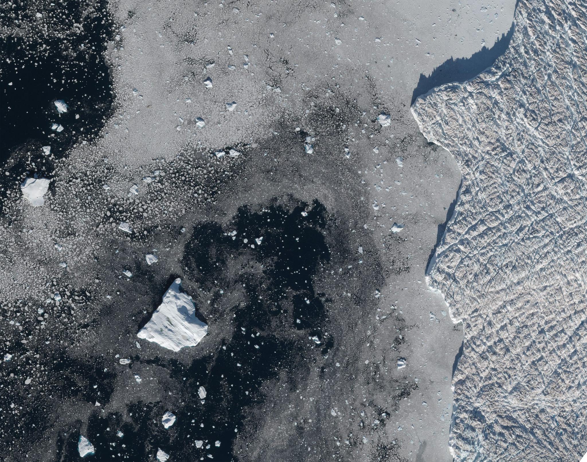
StoriesStoriesWhat’s Next for Science? Researchers Highlight How Planet Data Advances Scientific Discovery at AGU 2024Planet Labs PBC |December 13, 2024|3 min readRead more
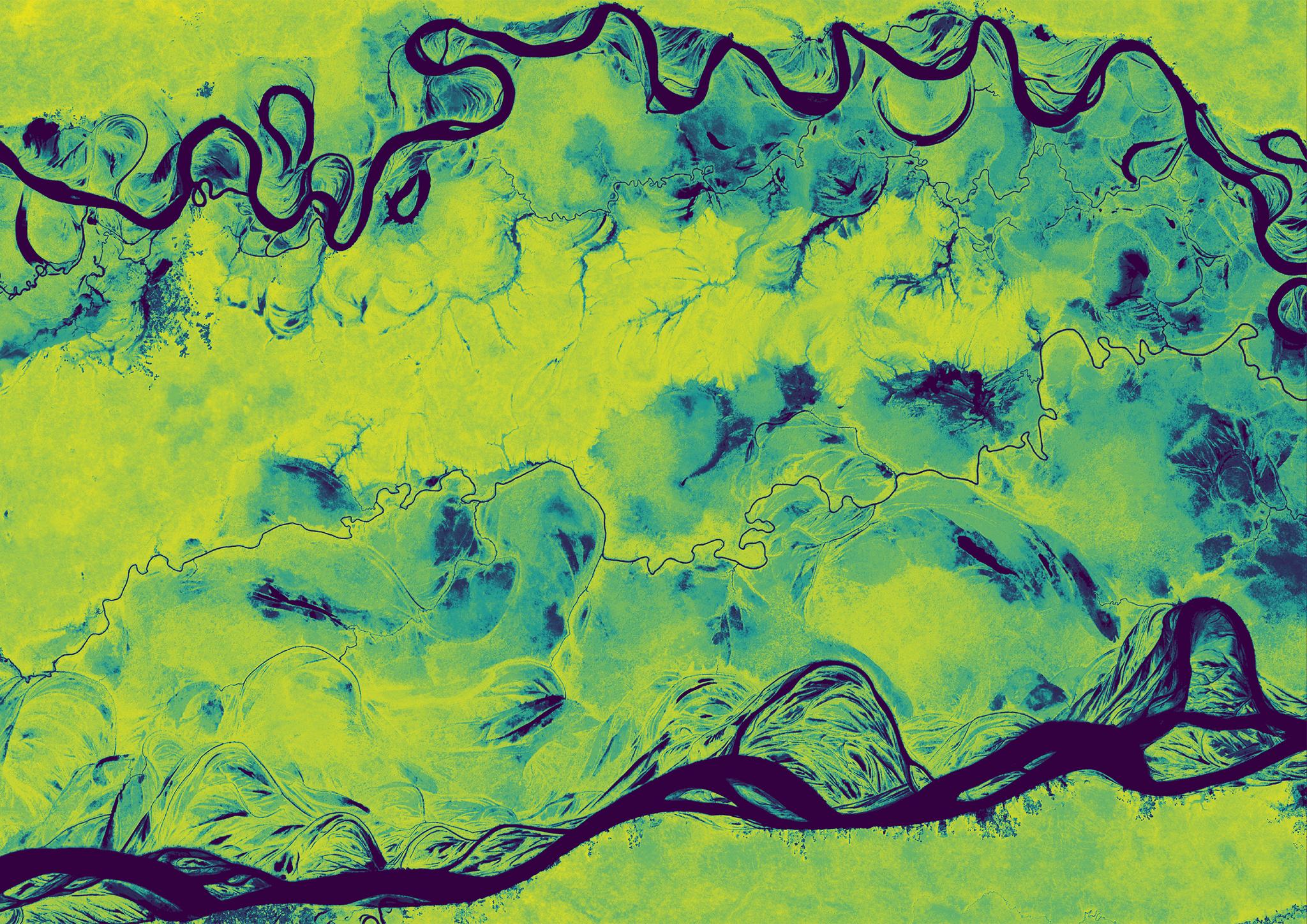
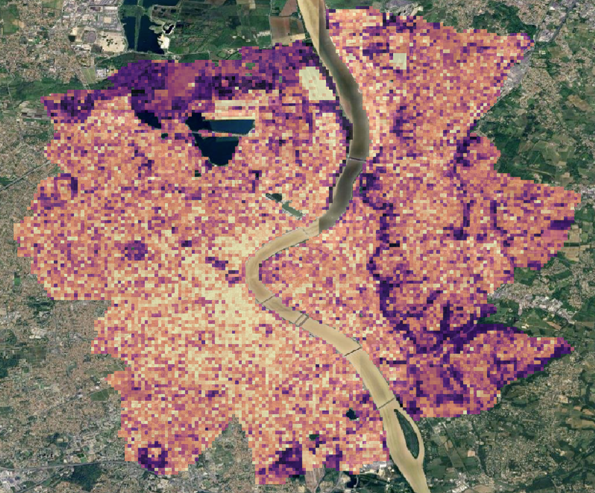
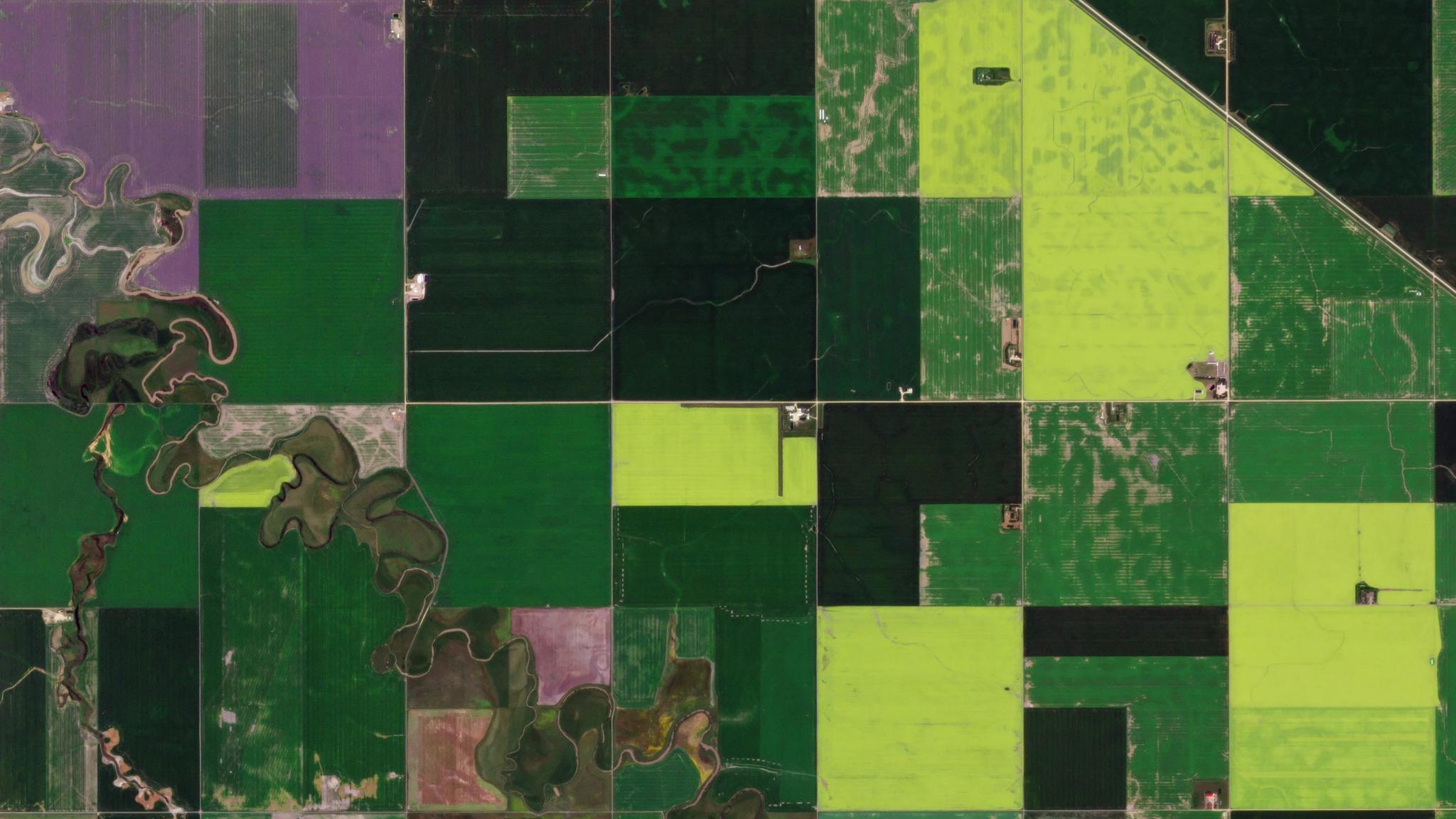
InsightsInsightsFrom Satellite Data to Actionable Insights: How to Calculate Derived Root-Zone Soil Water Content (DRZSWC) Using Planet Insights PlatformStephanie Gijsbers |December 13, 2024|3 min readRead more
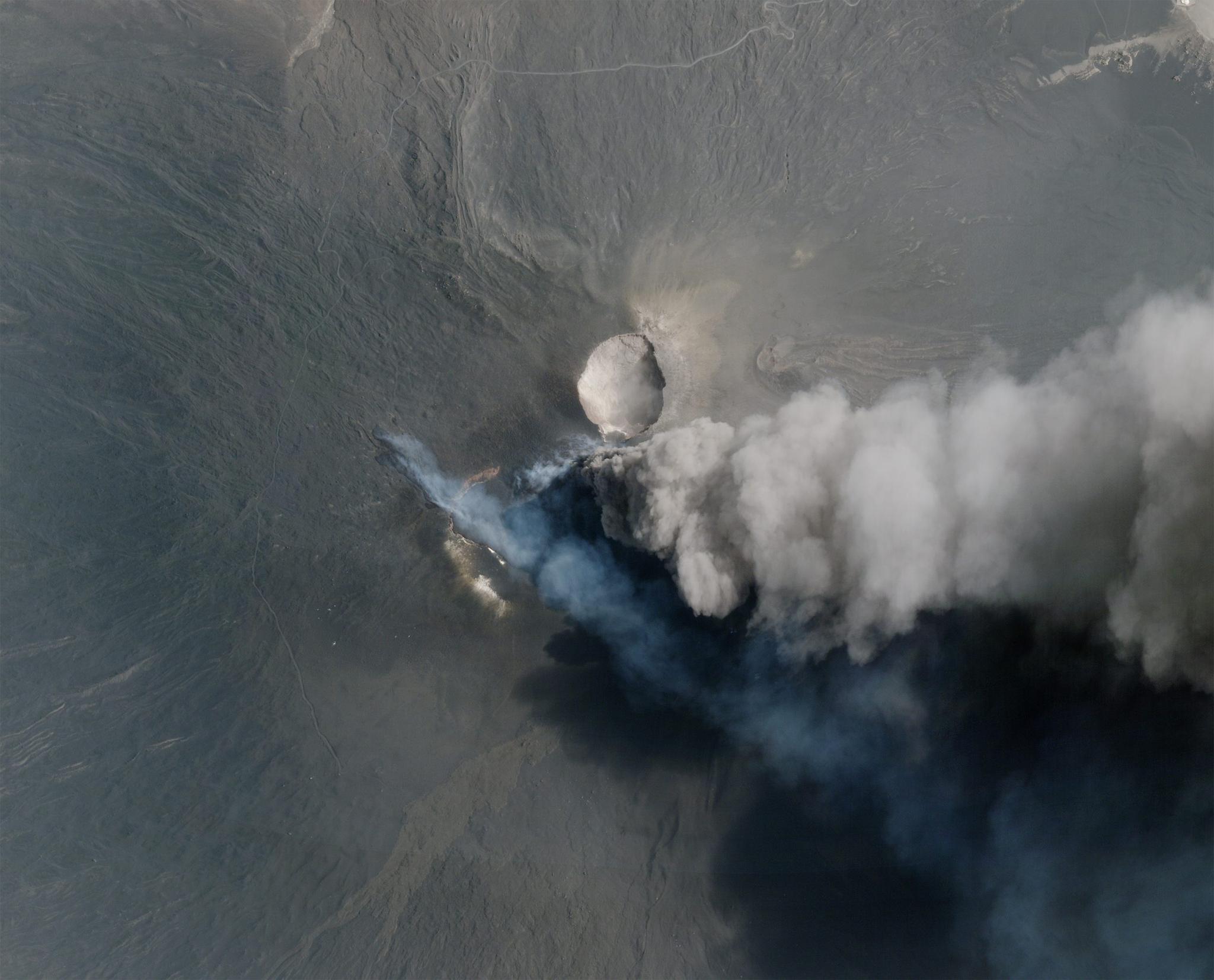
StoriesStoriesSatellite Science: How Earth Observation Data Furthers Our Understanding of the WorldRyder Kimball |December 11, 2024|6 min readRead more
NewsNewsPelican-2 & 36 SuperDoves Arrived in Vandenberg, California For LaunchPlanet Labs PBC |December 9, 2024|6 min readRead more
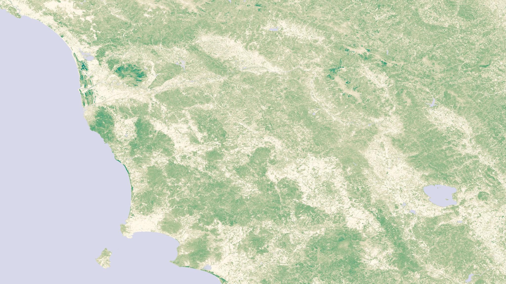
TechTechHow Governments Track Changing Land Use With Planet Near-Daily Satellite ImageryMolly Hamm |December 6, 2024|7 min readRead more
InsightsInsightsFrom Satellite Data to Actionable Insights: Land Surface Temperature Based Tracking of Heatwaves and Urban Heat Island Effect: A Path to Cooler, Healthier CitiesPlanet Labs PBC |December 4, 2024|5 min readRead more
StoriesStoriesBASF and Planet: Revolutionizing Agriculture with Digital InnovationPlanet Labs PBC |November 25, 2024|3 min readRead more