Researchers Use PlanetScope Data to Investigate Tidal Channel Networks of Salt Marshes and Mangroves
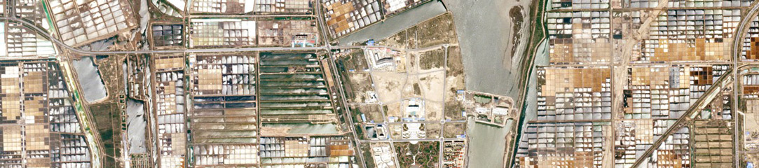
Above: PlanetScope image of salt marshes study site in Saeftinghe, Netherlands taken April 24, 2022. Coastal wetlands, including river deltas, estuaries, coastal lagoons and open coasts, consist of important ecosystems, like mangroves and salt marshes. These areas are home to vast amounts of biodiversity, and they support critical ecosystem services, protecting coastal […]


