Strong Environmental Policy Requires Persistent Satellite Monitoring

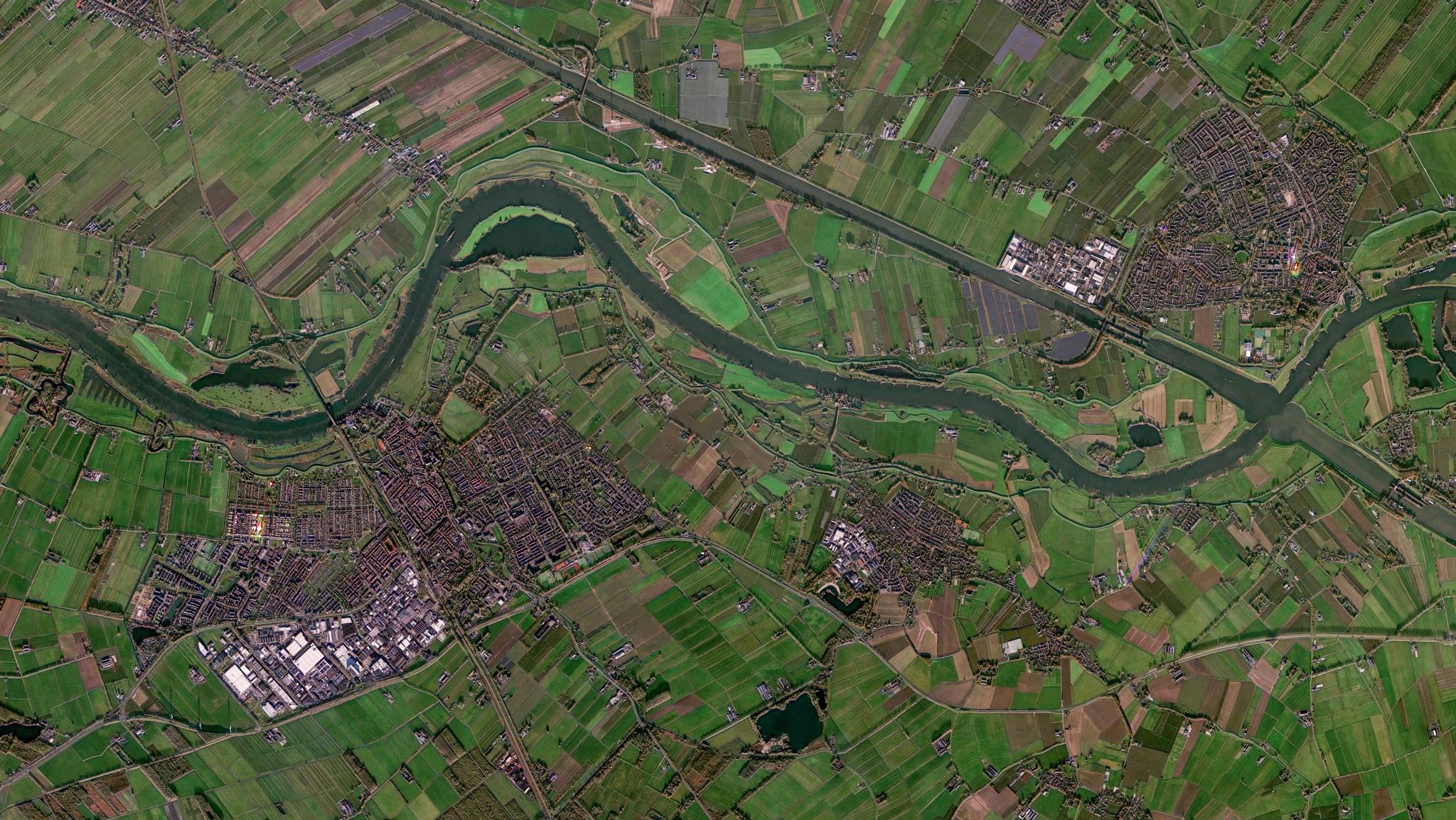
Planet Mosaic of the Lek River in Beusichem Gelderland, Netherlands, captured in November 2025. © 2025, Planet Labs PBC. All Rights Reserved.
TechGovernments are raising the bar on environmental protection. Around the world, agencies are introducing ambitious policies to protect wetlands, restore degraded habitats, improve water quality, and support nature-based solutions to climate risk.
But ambition creates an operational challenge. Agencies need to know if protected environments are being preserved, if restoration is happening, or if land-use change is occurring where it should not. And they need to do this consistently, across large areas, with limited resources.
Too often, they are being asked to enforce modern environmental policies with monitoring systems that were not designed for the speed, scale, or complexity of today’s change.
Planet offers a better way forward. With near-daily satellite data and AI-powered analytics, government agencies can detect potential policy infringement, monitor fast-moving environmental change, prioritize field inspections, and spot emerging risks before they become harder to reverse.
From Policy Ambition to Policy Evidence
Environmental policy is entering a new phase: governments are no longer judged only by the commitments they make, but by the evidence they produce.
In Europe, the EU Nature Restoration Regulation requires Member States to clarify how they will deliver against binding restoration targets. These plans must be supported by evidence showing where restoration is happening, where ecosystems are recovering, and where further intervention is needed.
Similar policies exist in other parts of the world. Governments are investing in wetland restoration to reduce flood risk, supporting forest restoration to improve carbon sequestration, expanding urban green space to reduce heat and improve air quality, and protecting habitats that support biodiversity, water quality, and climate resilience.
However, these policies can only succeed if agencies have a consistent way to monitor implementation, verify outcomes, and act when obligations are not being met.
Why Periodic Monitoring Is No Longer Enough
For decades, environmental compliance monitoring has relied on field inspections, surveys, self-reporting, and public data. These methods remain essential, but they are no longer enough on their own. Field teams cannot be everywhere all the time, public data can be slow and difficult to process, and environmental change is accelerating.
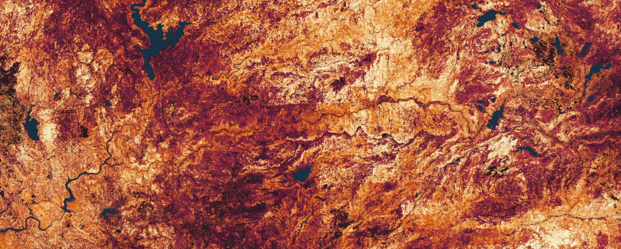
For example, research using Planet high-resolution satellite imagery, published in Geophysical Research Letters, found that the surface area of small ponds and lakes can vary by 20-40% within a single season. For agencies responsible for monitoring water resources, that level of change can be missed by periodic observation alone.
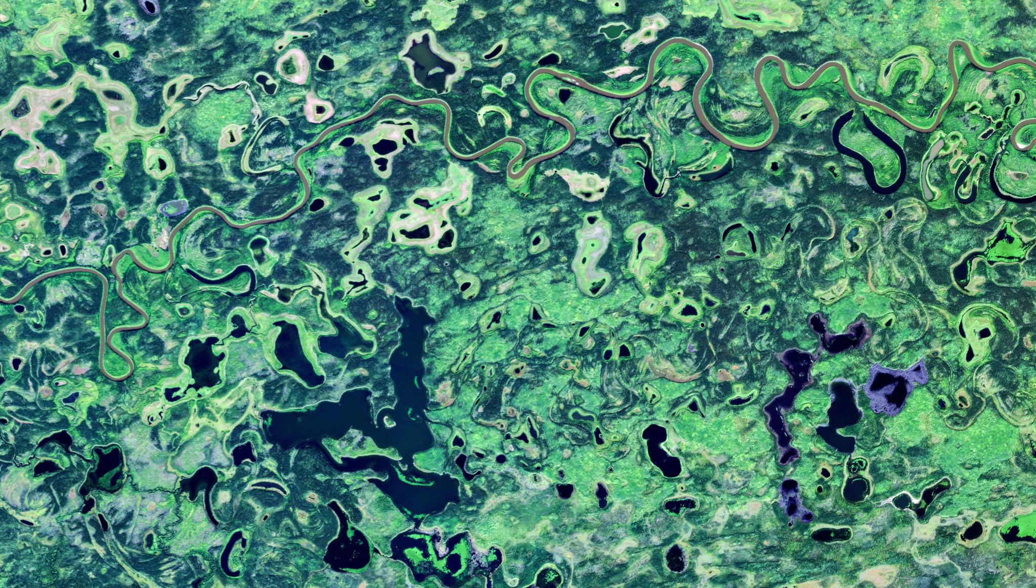
PlanetScope image of the Yukon Flats in Alaska, captured August 26, 2024.
When environmental degradation is detected too late, the costs can escalate quickly. Ecological damage becomes harder to reverse, public trust declines, regulators face pressure to explain why action was not taken sooner, and businesses can face legal, financial, and reputational risk. Ultimately, restoration becomes more complex and expensive.
The answer is not to replace field inspections, surveys, or public data. It is to strengthen them with persistent environmental intelligence.
Persistent Intelligence in Practice
Satellite data is increasingly the foundation for more rigorous, persistent compliance monitoring. Publicly available satellite imagery can provide a useful baseline but for operational monitoring, agencies need data with higher spectral detail, greater revisit frequency, and analysis-ready formats that support consistent, ongoing assessment.
Planet combines near-daily satellite data, AI-driven analytics, and scalable data infrastructure to power automated change detection solutions. Instead of relying on periodic inspections, or analysts reviewing satellite observations scene by scene, AI can help identify patterns of change across large areas, such as vegetation loss, altered water levels, new development, land clearance, or other physical disturbances. These changes can then be flagged for review, helping agencies prioritize field inspections and act sooner.
For example, the state of Tennessee is using PlanetScope® data, in collaboration with the geospatial and environmental intelligence firm Skytec, to support more consistent wetland monitoring. Skytec’s Ranger® platform combines Planet high-frequency satellite imagery with AI-driven analytics to monitor ecologically important and highly regulated wetland areas that are difficult to assess through field visits alone.
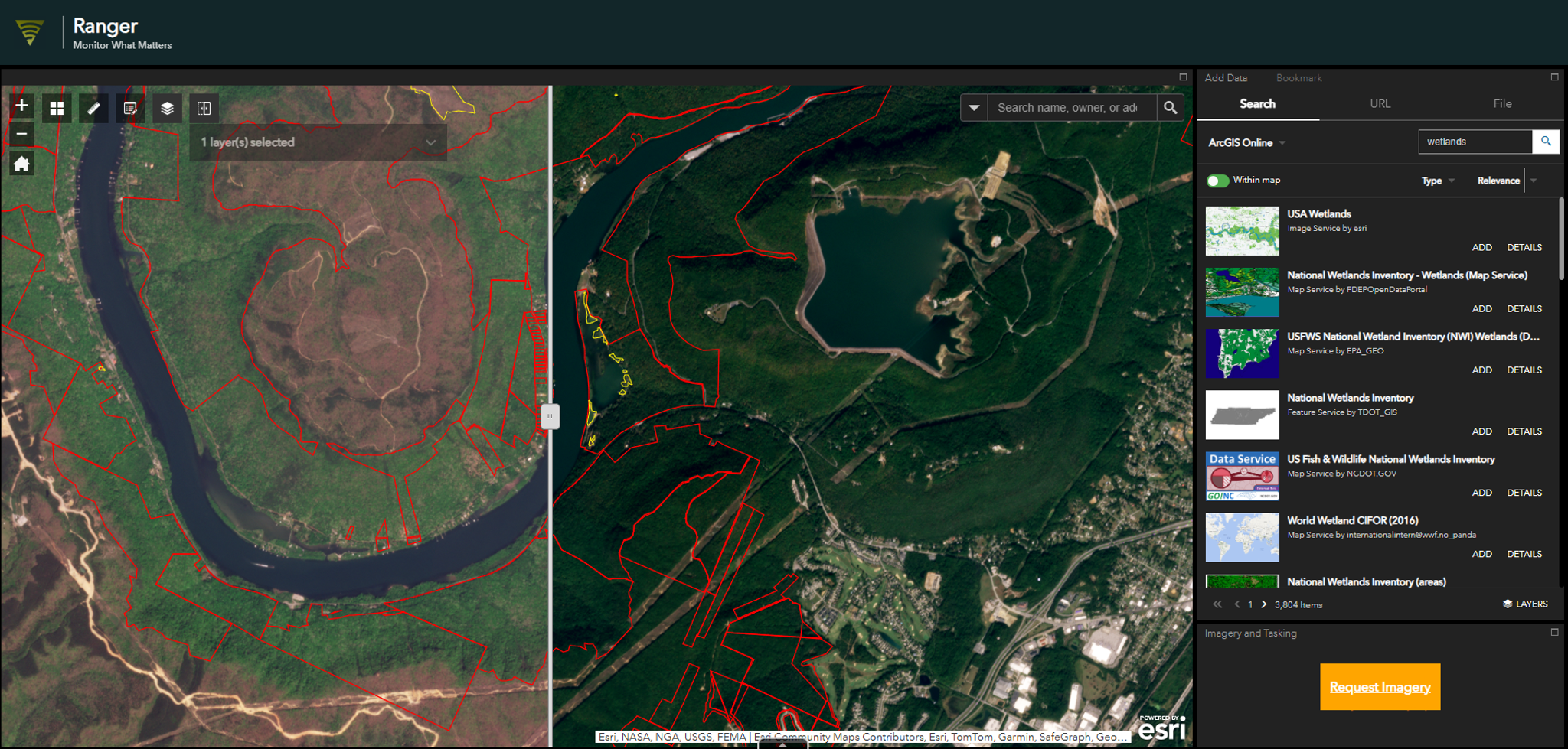
Skytec Ranger platform.
By detecting changes such as altered water levels, vegetation loss, or physical disturbance, the wetland screening tool built by Skytec helps regulators identify sites that may require further investigation and act sooner when environmental obligations may not be met.
The Better Way Forward
Governments deserve credit for setting more ambitious environmental policies. But ambition alone will not protect wetlands, restore degraded habitats, improve water quality, or reverse biodiversity loss.
If your agency is still relying on periodic monitoring to oversee increasingly rigorous environmental policy, it may be time to ask a harder question: can your current approach detect change quickly enough to act before environmental damage escalates?
Planet can help you assess your current monitoring approach, identify visibility gaps, and explore where near-daily satellite data, AI-driven analytics, and scalable data infrastructure could strengthen environmental compliance, restoration and enforcement.
Connect with our team to review your monitoring approach, or download our Driving Program and Policy Effectiveness e-book to learn more.