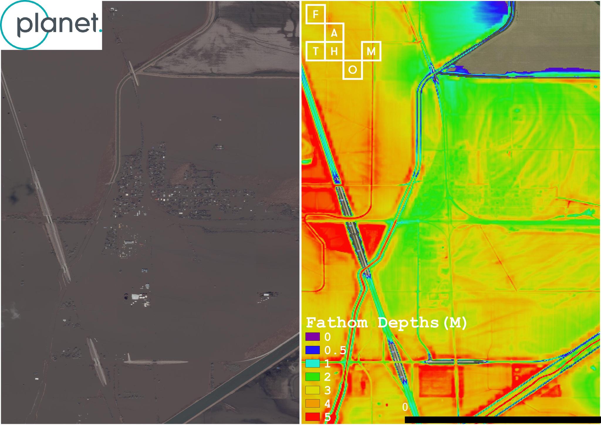
fathom Blog Posts

How Fathom Leverages Frequent Satellite Imagery for Dynamic Flood Maps

Tech

Flooding is the most common and costliest natural disaster in the United States causing billions of dollars in damages annually. The March 2019 floods across 14 states in the Midwest are a sobering reminder. Torrential rain and overflowing rivers swept through whole cities, towns, and farmlands, wreaking major havoc for farmers and […]