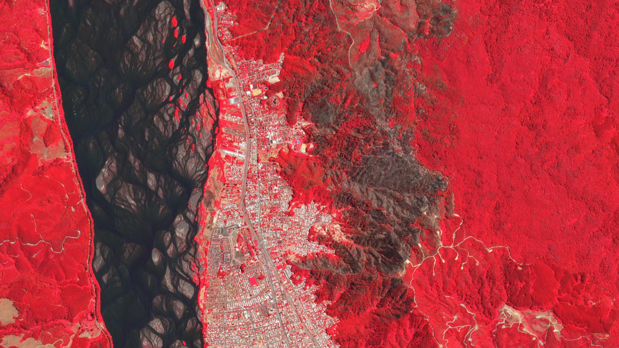
This false-color (near infrared, red, green) image shows a forest fire adjacent to Concepción, Chile in January of 2020. © 2020, Planet Labs Inc. All Rights Reserved
AUTHOR PROFILE Tara O'Shea
Tara O’Shea is the Director of Forest Programs at Planet.

UNFAO and Planet SEPAL Collaboration Drives Conservation Solutions Across Tropics

Stories

In September 2019, the Food and Agriculture Organization of the United Nations (FAO) partnered with Planet to provide high spatial and temporal resolution satellite imagery to support the national forest monitoring systems of eight tropical forested countries: Chile, Colombia, Democratic Republic of the Congo, Costa Rica, Ghana, Indonesia, Mexico and Mozambique. Just a few months later, these countries are already putting to work the combination of Planet’s high-resolution data and FAO’s geospatial platforms for a wide range of conservation applications.

FAO supports countries all over the world in their efforts to sustainably manage forests and other ecosystems and natural resources, as well as to achieve their international climate and conservation commitments through the Paris Agreement and Sustainable Development Goals. To this end, FAO developed the SEPAL geospatial platform, part of the Open Foris initiative, which makes accessing and using satellite data simpler. SEPAL takes the strain of processing heavy datasets away from your personal computer by harnessing remote supercomputers through the cloud, enabling you to complete analyses, as well as spot errors, faster and freely. Through this collaboration with Planet, these eight developing countries can now access and process Planet’s daily, high-resolution satellite imagery directly in SEPAL.

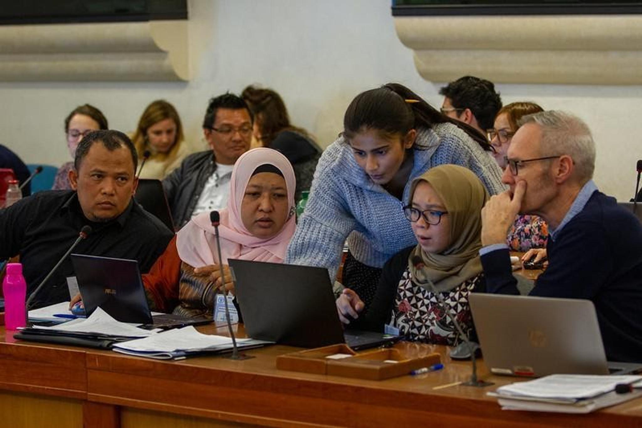
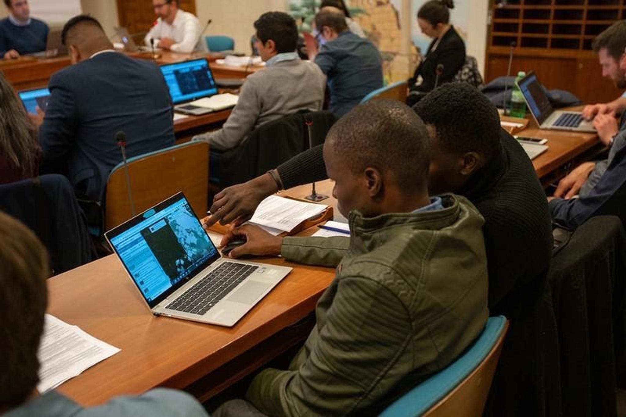
“We are now working with 100 users from international and national governmental institutions to improve forest and land use monitoring with Planet imagery through this collaboration,” says Timothy Gituma, customer success manager at Planet. Pooja Pandey, technical support engineer at Planet, adds, “With Planet plug-ins and Developer Center, these users are pulling Planet imagery directly into their existing SEPAL notebooks and workflows in order to make forest monitoring more accessible, accurate and efficient.”

Planet’s support team works with officials from The Ministry of Environment and Forestry of Indonesia as they plug Planet’s high-resolution imagery into their existing SEPAL workflows at FAO Headquarters during a workshop in January 2020, which was organized with funding from the World Bank’s FCPF. © FAO/Roberto Cenciarelli

Planet’s support team works with officials from The Ministry of Environment and Forestry of Indonesia as they plug Planet’s high-resolution imagery into their existing SEPAL workflows at FAO Headquarters during a workshop in January 2020, which was organized with funding from the World Bank’s FCPF. © FAO/Roberto Cenciarelli

Equipping these experts and local stakeholders with timely, high-resolution information has made a big difference. We are excited to share some of the use cases from FAO and its partner countries.

Forest Area and Forest Area Change Estimation

One of the key use cases for FAO and its partner countries is forest area estimation. Countries can receive performance-based payments for Measured, Reported and Verified (MRV) Reduced Emissions from Deforestation and Forest Degradation (REDD+). Key to MRV requirements is estimating forest area and forest area change. Using Planet’s wall-to-wall, high-resolution imagery, countries can do this with greater consistency, accuracy and efficiency.

High-resolution satellite imagery helps improve the accuracy and consistency of forest area estimation by providing a clearer picture of land cover and land use over a given area. The images above compare an area of varied land use along the Malela River in Mozambique viewed by PlanetScope (left) and Landsat 8 (right). Both images were collected on December 4, 2020. © 2020, Planet Labs Inc. All Rights Reserved.

High-resolution satellite imagery helps improve the accuracy and consistency of forest area estimation by providing a clearer picture of land cover and land use over a given area. The images above compare an area of varied land use along the Malela River in Mozambique viewed by PlanetScope (left) and Landsat 8 (right). Both images were collected on December 4, 2020. © 2020, Planet Labs Inc. All Rights Reserved.

“FAO is a leading technical support provider to countries as they develop forest monitoring capacities to support Sustainable Forest Management and MRV systems in order to receive results-based payments,” says Julian Fox, senior forestry officer and the team leader for National Forest Monitoring at FAO. “These first eight countries serve as a test case for how advanced Earth observation technologies can help facilitate new solutions in forest monitoring. Access to precise and timely data fills a critical need in combating deforestation and meeting climate targets.”

Ministries of Environment from eight tropical developing countries are now able to remotely measure and monitor forest area and forest area change using a combination of Planet data and FAO platform tools. Here, officials from Mozambique use Planet Explorer’s compare tool to estimate forest area change. Source: FAO

Ministries of Environment from eight tropical developing countries are now able to remotely measure and monitor forest area and forest area change using a combination of Planet data and FAO platform tools. Here, officials from Mozambique use Planet Explorer’s compare tool to estimate forest area change. Source: FAO

Peatland Conservation and Restoration

Peatlands are a type of wetland that are among the most valuable ecosystems on Earth; they help preserve global biodiversity, minimize flood risk and mitigate climate change. Globally, peatlands store more carbon than all vegetation types in the world combined. Protecting peatlands is therefore critical, and the country of Indonesia is able to do so more readily with access to Planet’s high-resolution satellite imagery through FAO’s SEPAL platform.

PlanetScope data allows observers to pinpoint the location of dams and other infrastructure used to drain peatlands in Southeast Asia. This true color image of a bog in Indonesia Borneo was collected on June 13, 2020. © 2020, Planet Labs Inc. All Rights Reserved.

PlanetScope data allows observers to pinpoint the location of dams and other infrastructure used to drain peatlands in Southeast Asia. This true color image of a bog in Kalimantan, Indonesia, was collected on June 13, 2020. © 2020, Planet Labs Inc. All Rights Reserved.

Restoring previously degraded peatlands is an important effort underway in Indonesia to fight climate change. Construction of drainage canals is associated with converting peatlands to other land uses, such as palm oil plantations. When peatlands are drained to be converted to agricultural production, the carbon stored in the wetlands is released. In order to restore peatlands, these canals must be blocked to retain the water within the peatland. It is critical that canal blocking infrastructure (earthen dams, backfilling, etc.) remains intact to slow or stop peatland drainage. With Planet’s high-resolution imagery and daily revisit, officials from Indonesia’s Ministry of Environment and Forestry and Peatland Restoration Department are able to remotely monitor drainage canals and critical restoration infrastructure to increase the effectiveness of peatland restoration measures.

Wildfire Detection and Response

Several participating countries are realizing high-resolution data is not only helpful for monitoring forested areas, but also for detecting and responding to wildfire threats. In Chile, for example, the National Forestry Commission (CONAF) has found that Planet data not only helps with early detection of wildfires, but also improves the boundary delineations of burned forest. This allows the country to improve response operations, as well as better understand the impacts of wildfires on forest health and carbon emissions.

Chile finds that Planet data, by improving the calculation of burned areas and severities, improves wildfire response and impact measurement. These false-color (near infrared, red, green) images show the progress of a forest fire adjacent to Concepción, Chile on January 24, 25 and 31, 2020. © 2020, Planet Labs Inc. All Rights Reserved.

Landscape Planning

Sustainable conservation activities often require a “landscape approach” or an understanding of land cover and land use across various ecosystems and human activities. This can be challenging with traditional approaches to remote sensing, as high-resolution information has not been available over broad areas or high-frequencies. With access to Planet’s daily, high-resolution data over entire landscapes, these countries are finding value in being able to classify ecosystems and land uses in order to inform conservation planning activities.

For example, officials from Ghana’s Ministry of Lands and Natural Resources note that Planet data, with its high spatial resolution, is the most helpful available source in distinguishing grasslands from croplands, and tree crops from tree cover. Similarly, the Democratic Republic of the Congo’s Ministry of Environment, Conservation of Nature, Water and Forests notes that because the country is so big, this is the first time they have had high-resolution imagery available over all of it. By providing access to Planet data, SEPAL supports the country to manage forests, ecosystems and transitions efficiently and sustainably.

Countries working with Planet data in FAO’s SEPAL platform cross-share their lessons and approaches to leveraging high-resolution imagery for improved forest and land use monitoring. Mozambique shares workflows with Indonesia (left) while Ghana shares insights with Mexico (right). Source: FAO.

Countries working with Planet data in FAO’s SEPAL platform cross-share their lessons and approaches to leveraging high-resolution imagery for improved forest and land use monitoring. Mozambique shares workflows with Indonesia (left) while Ghana shares insights with Mexico (right). Source: FAO.

In order to meet shared goals for climate, biodiversity and sustainable development, the world must move quickly to advance forest conservation and sustainable land use globally. While Earth observation technologies have a key role to play, they must be employed in the context of local expertise, global policy and technological capacity. Planet is honored to be working in partnership with FAO’s National Forest Monitoring team and member countries to support conservation and land use solutions across the tropics.

Learn more about forest and land use monitoring with Planet data here.