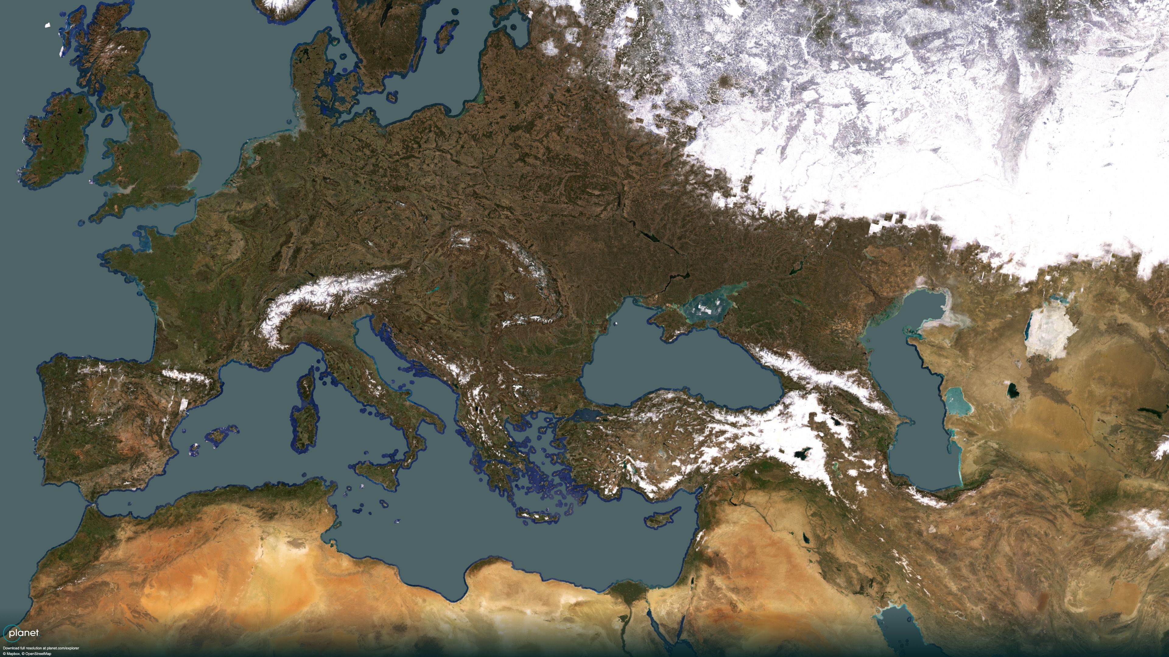
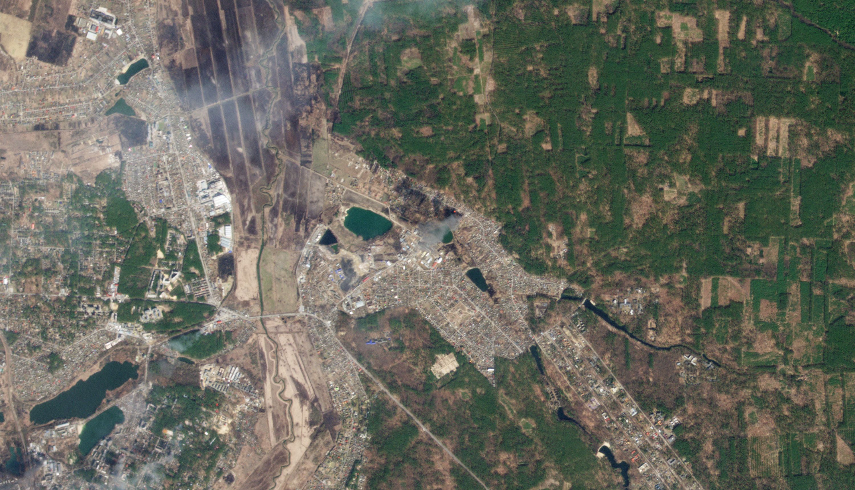
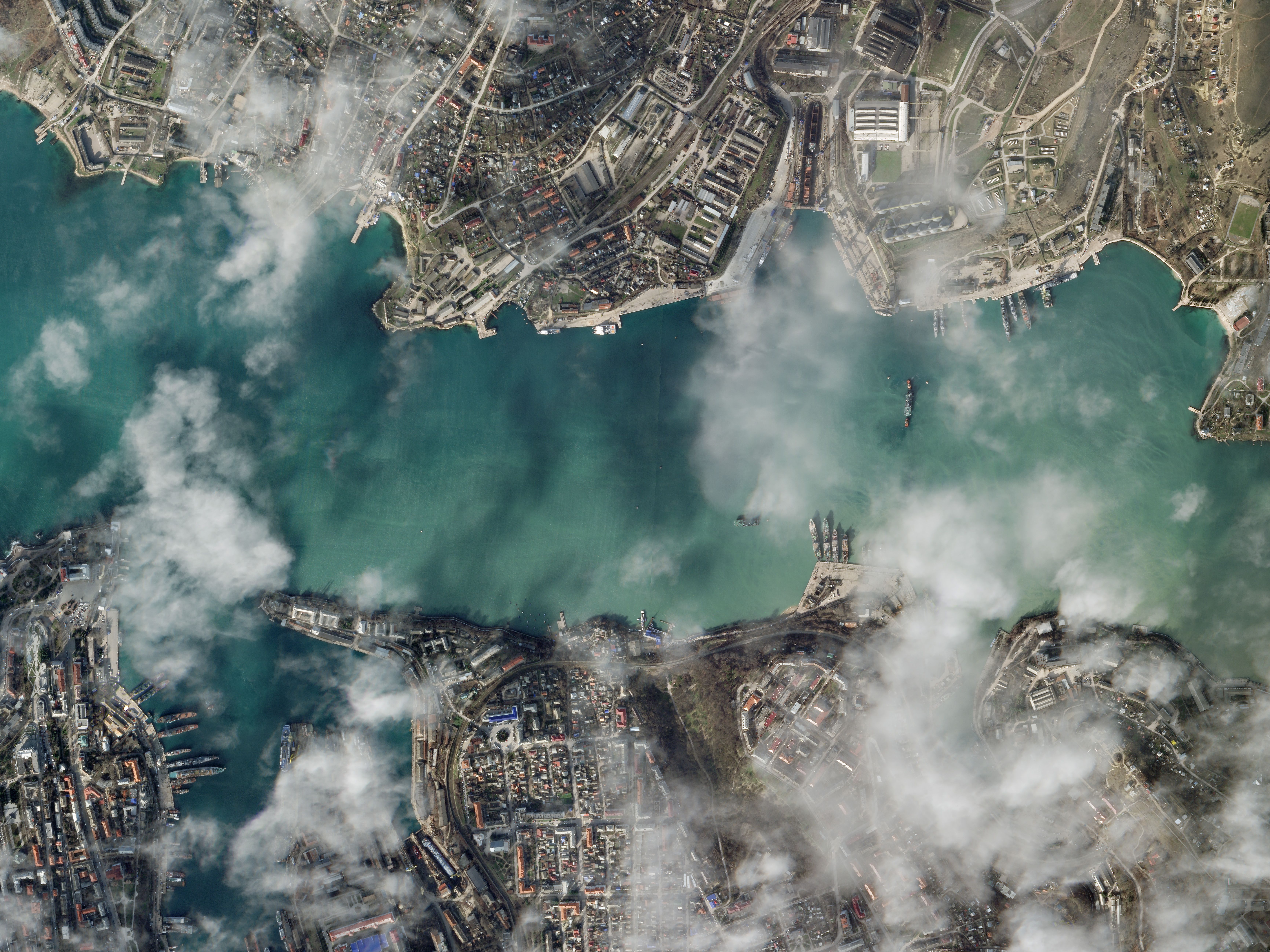
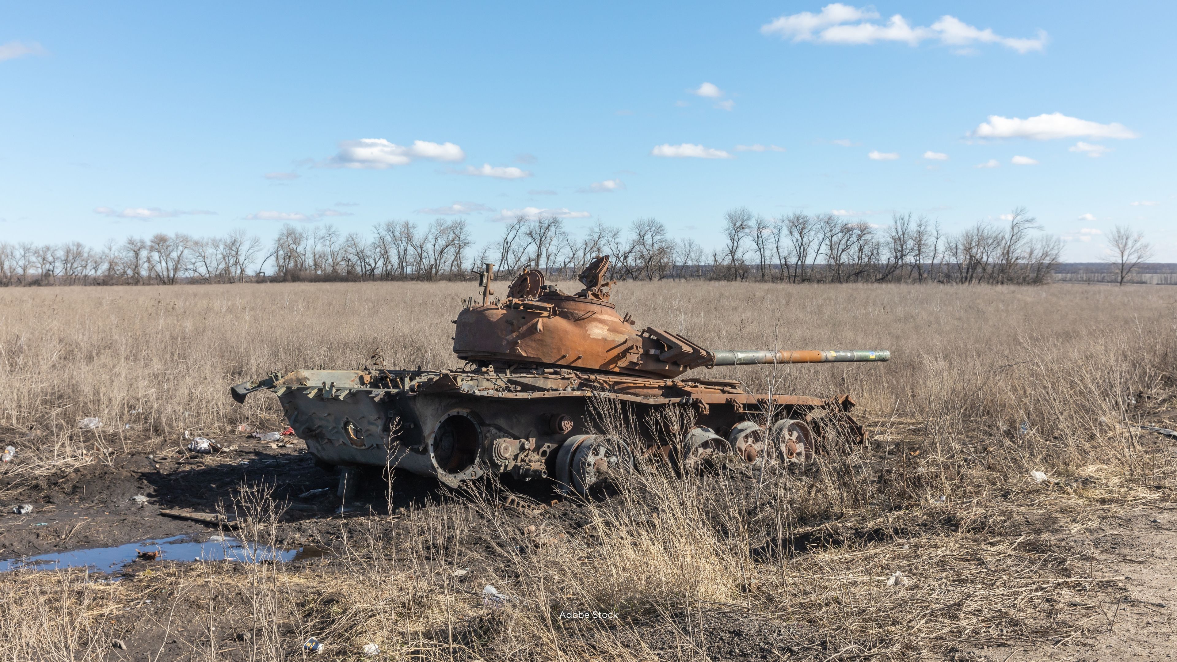
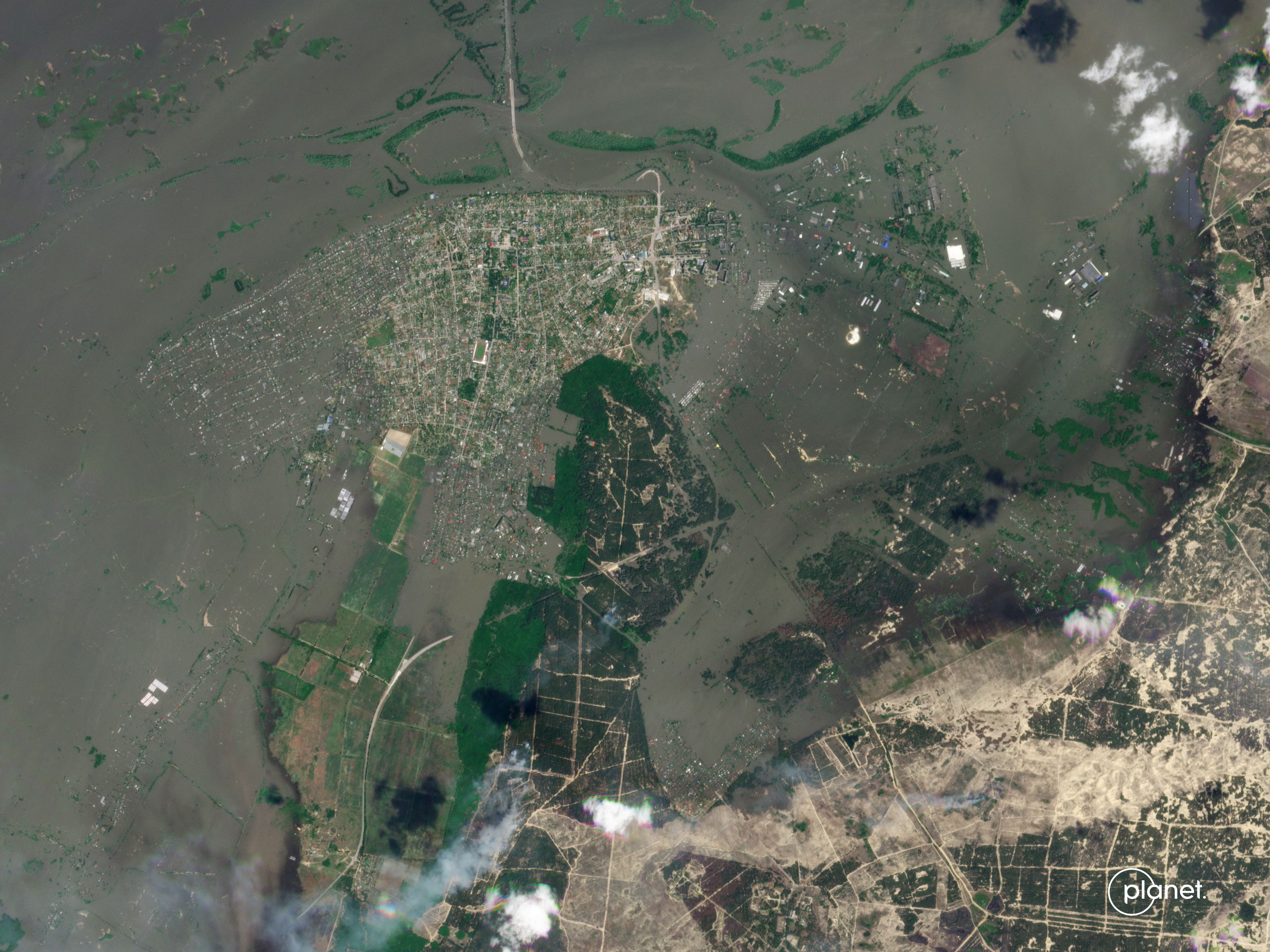
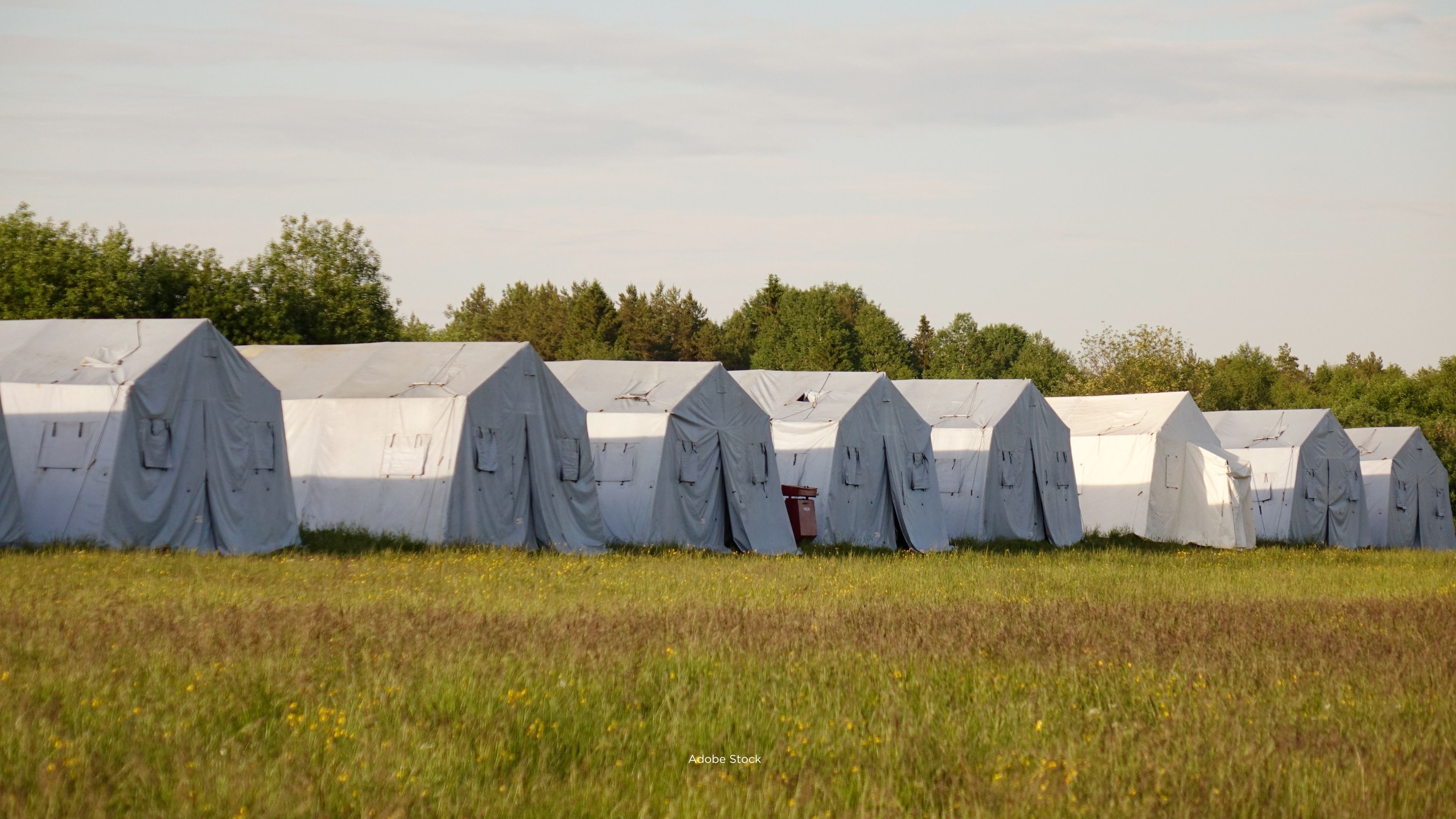
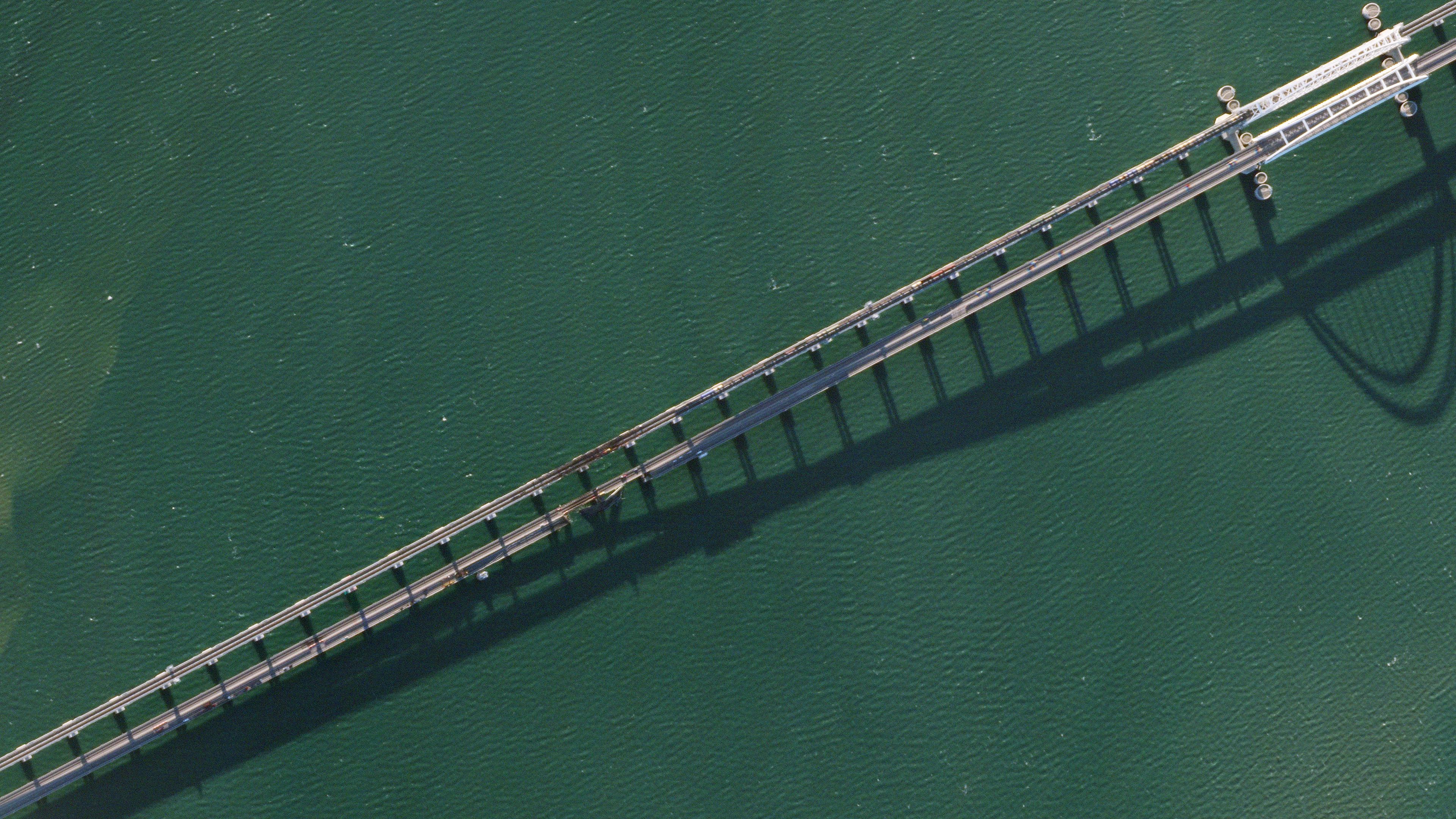
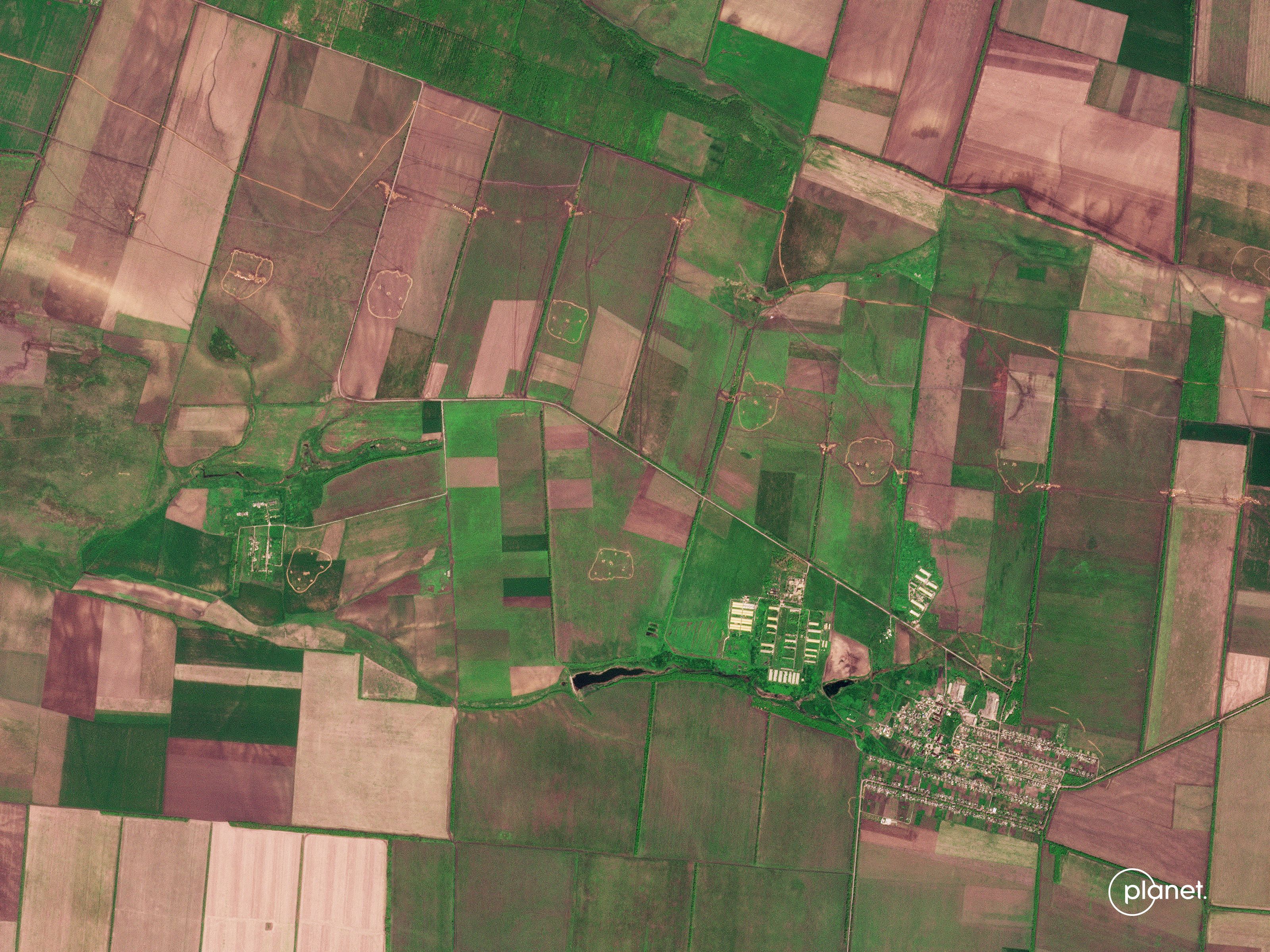
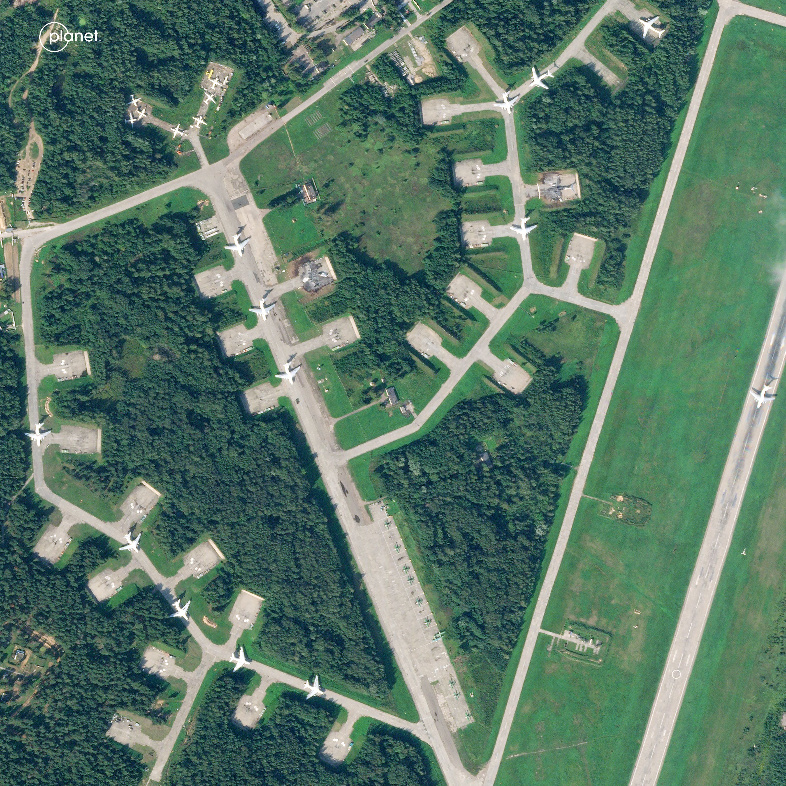
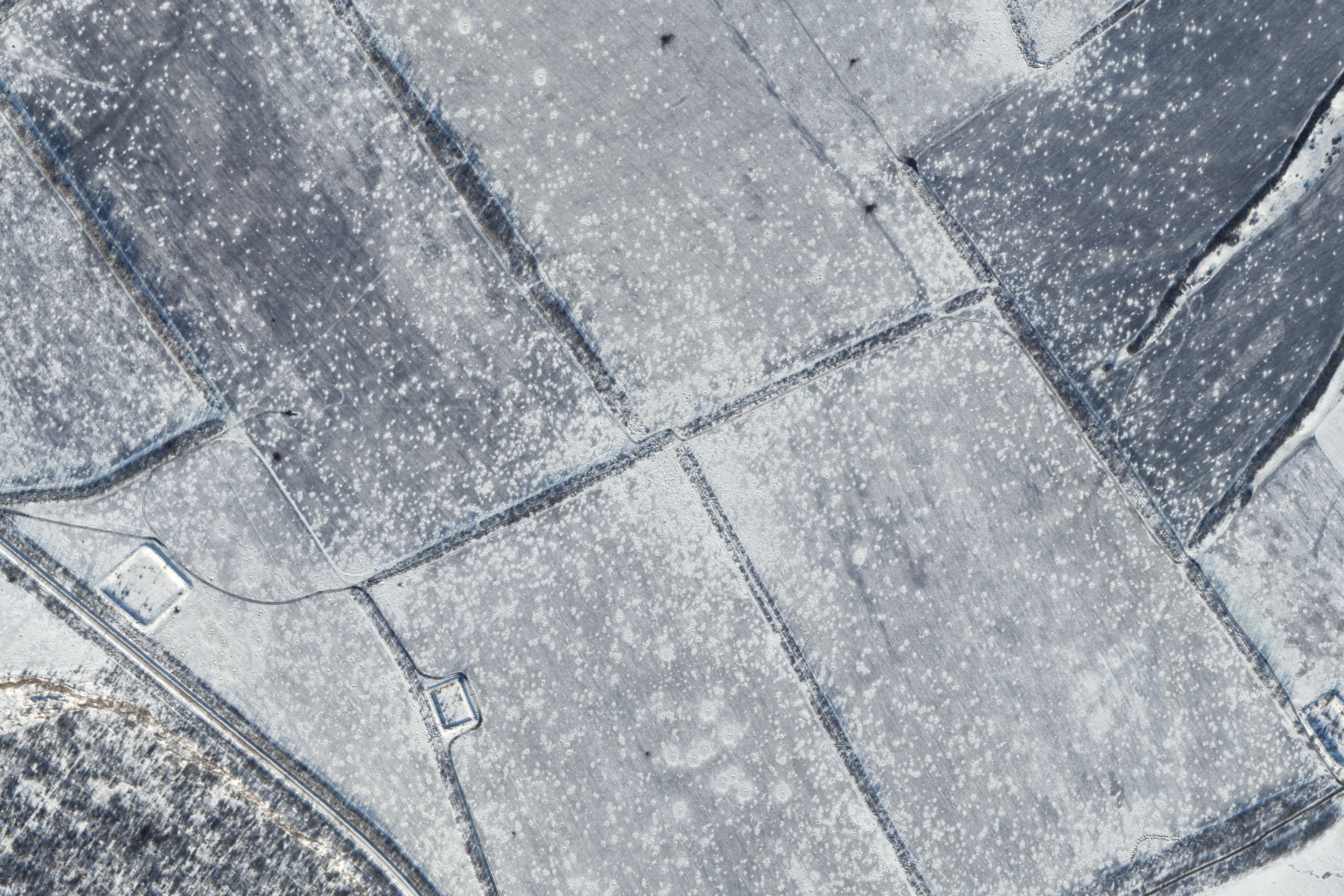
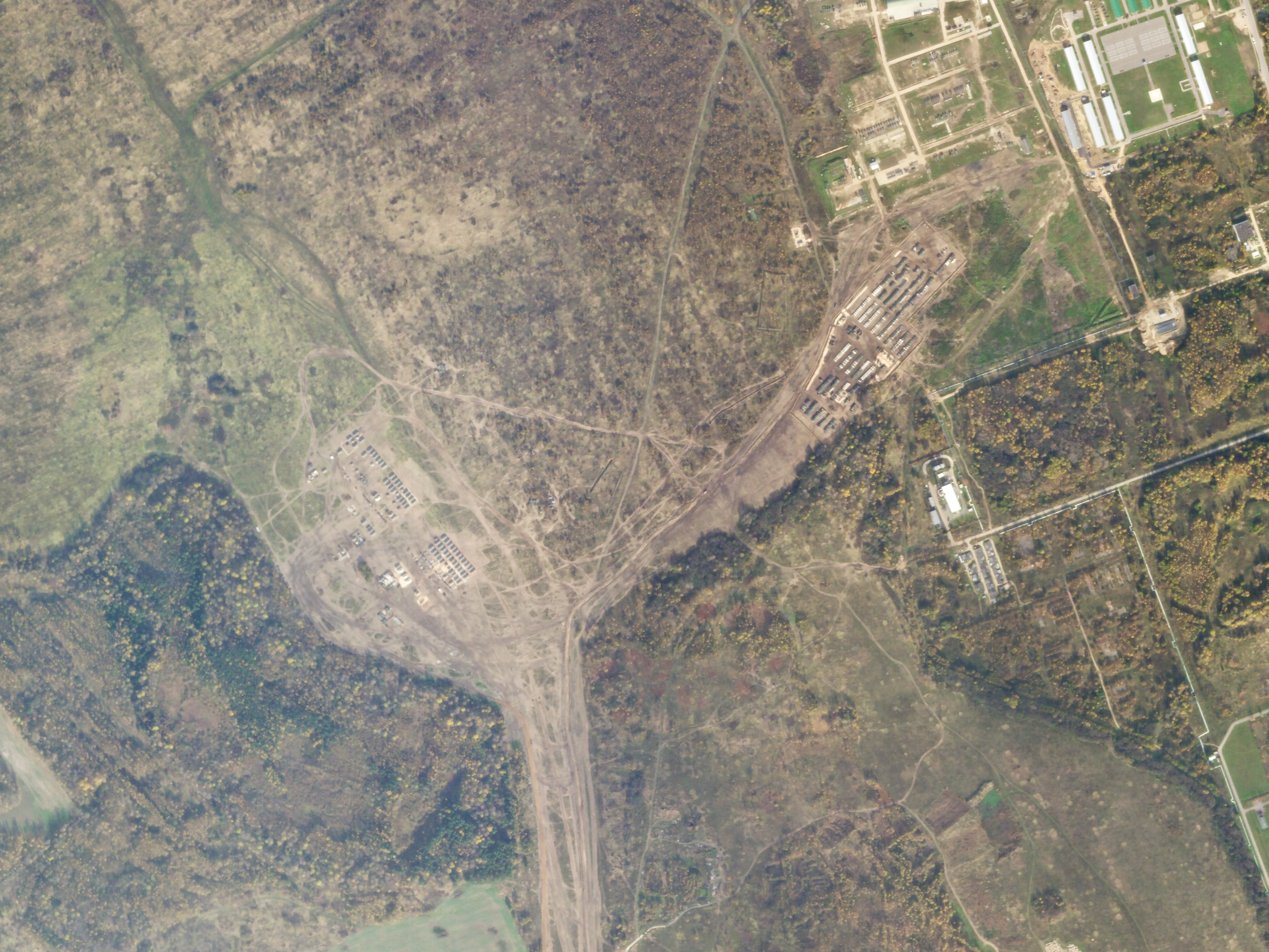
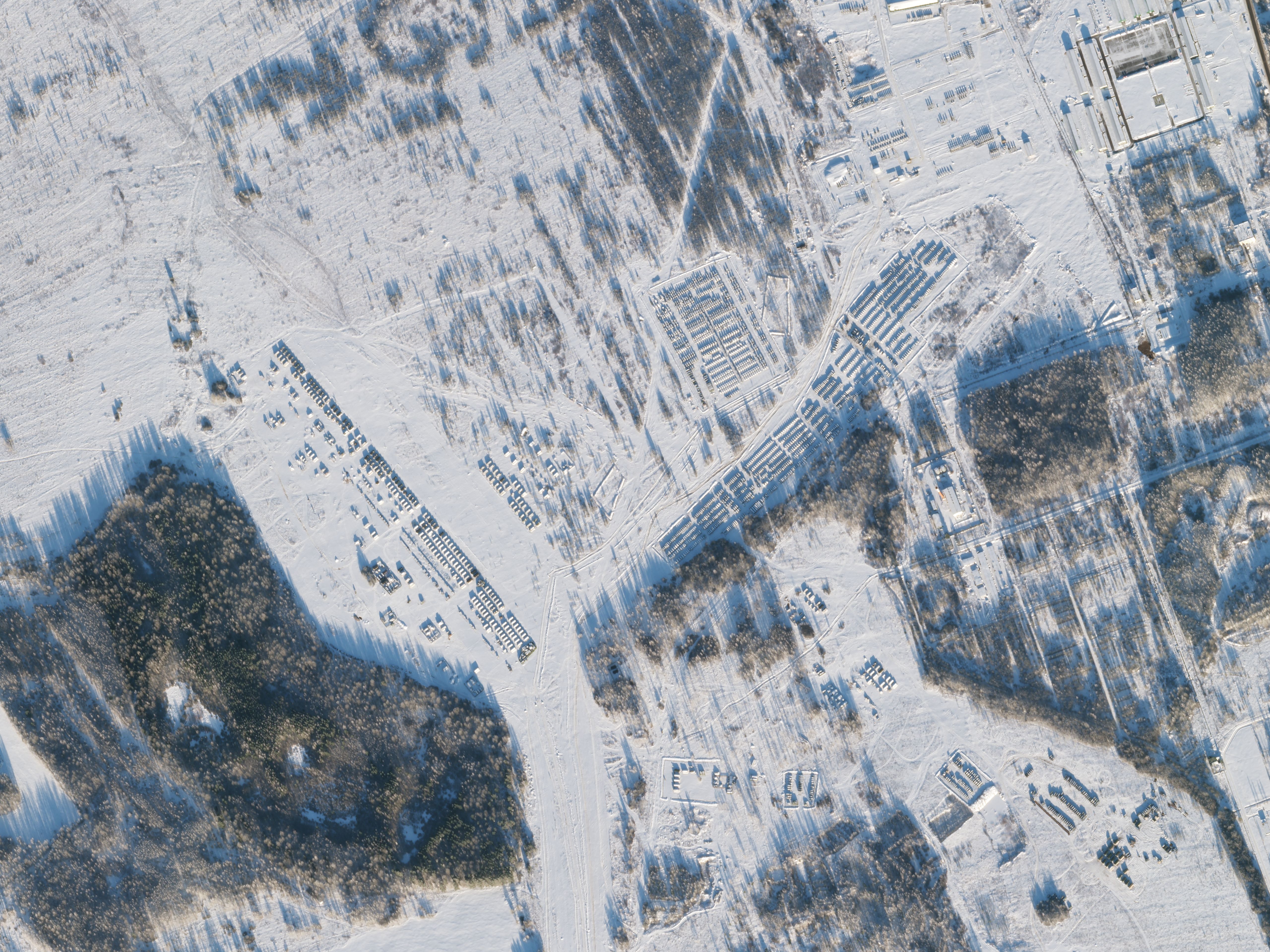
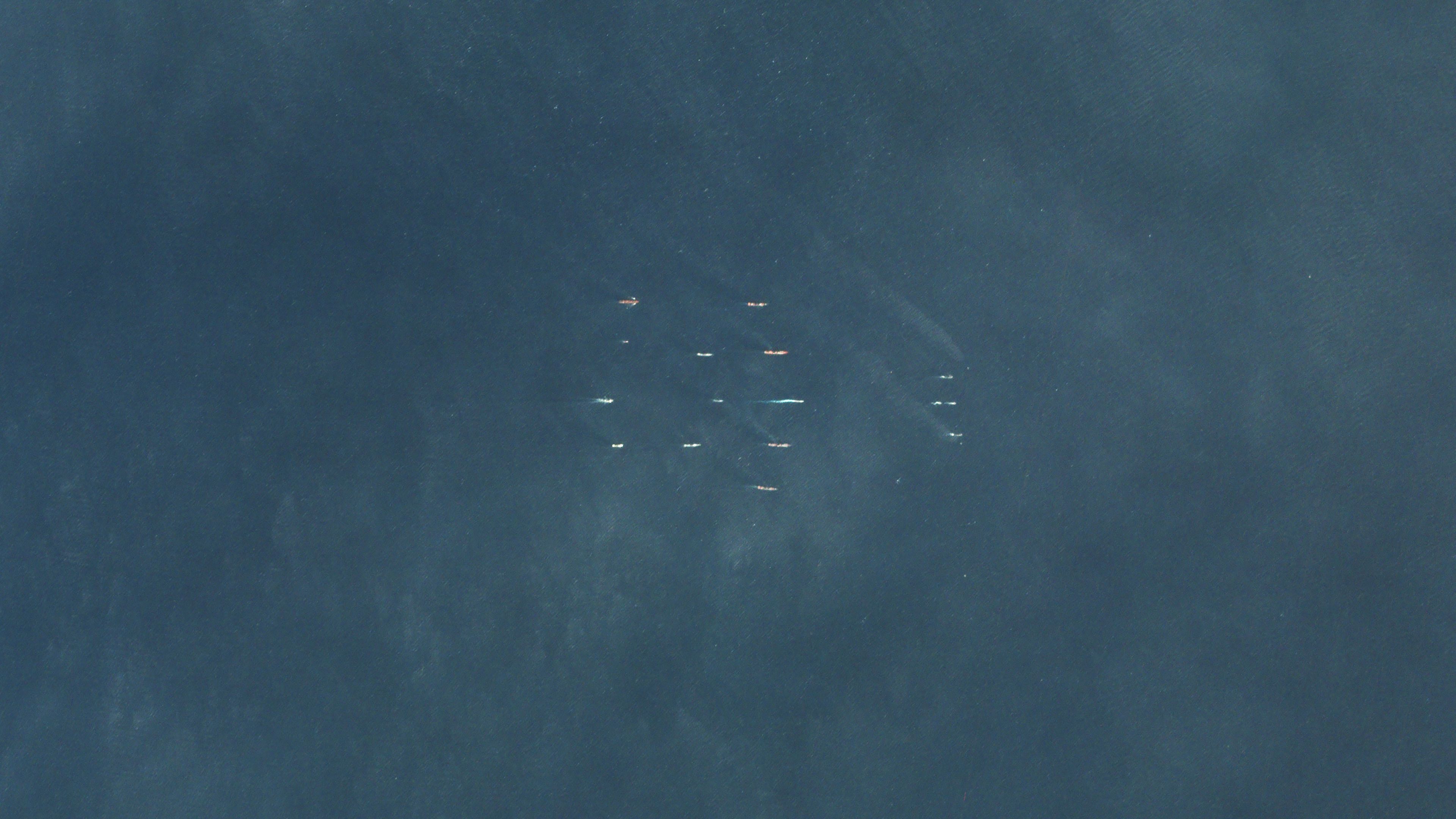
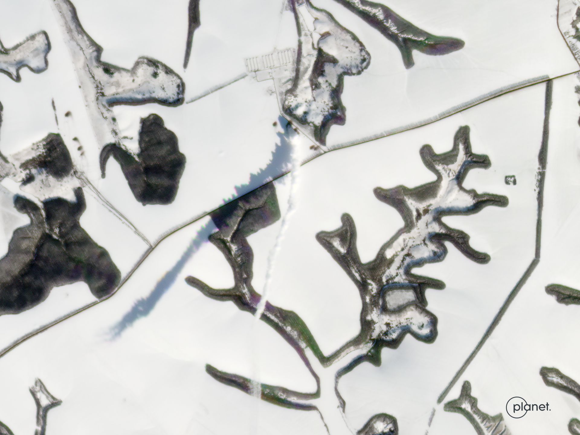
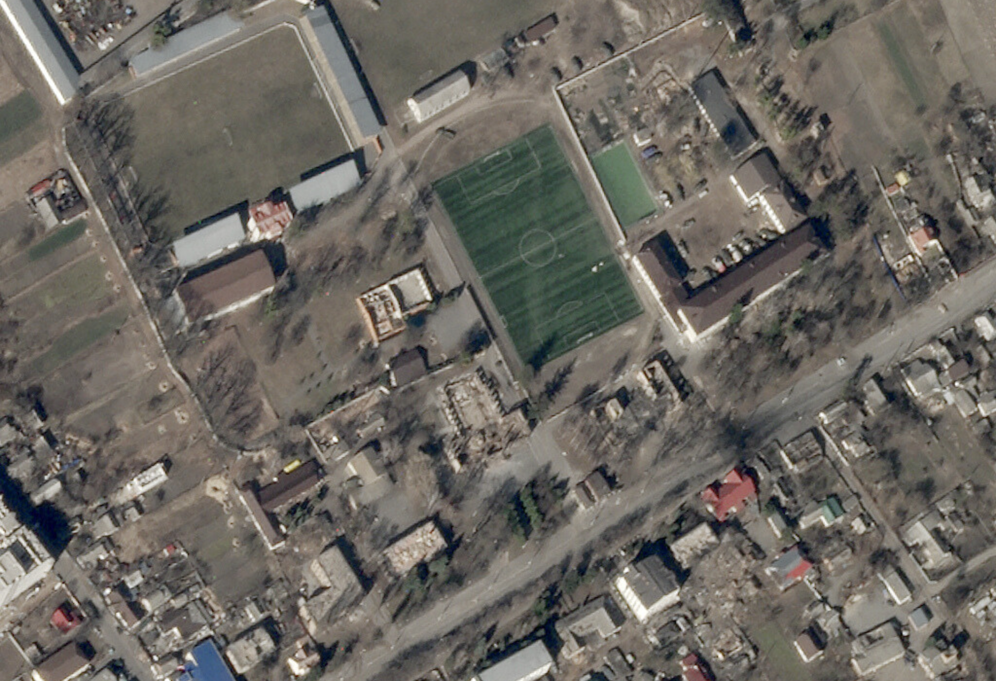
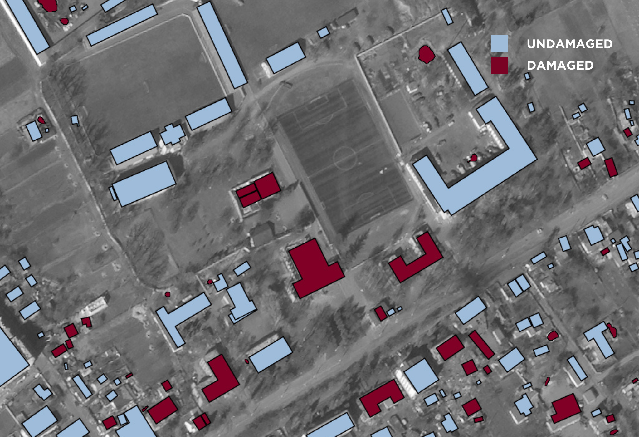
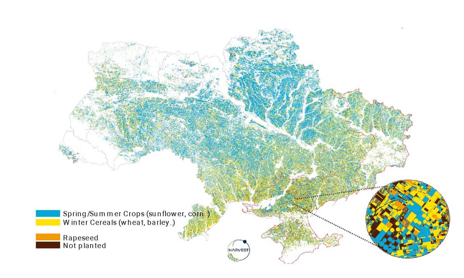
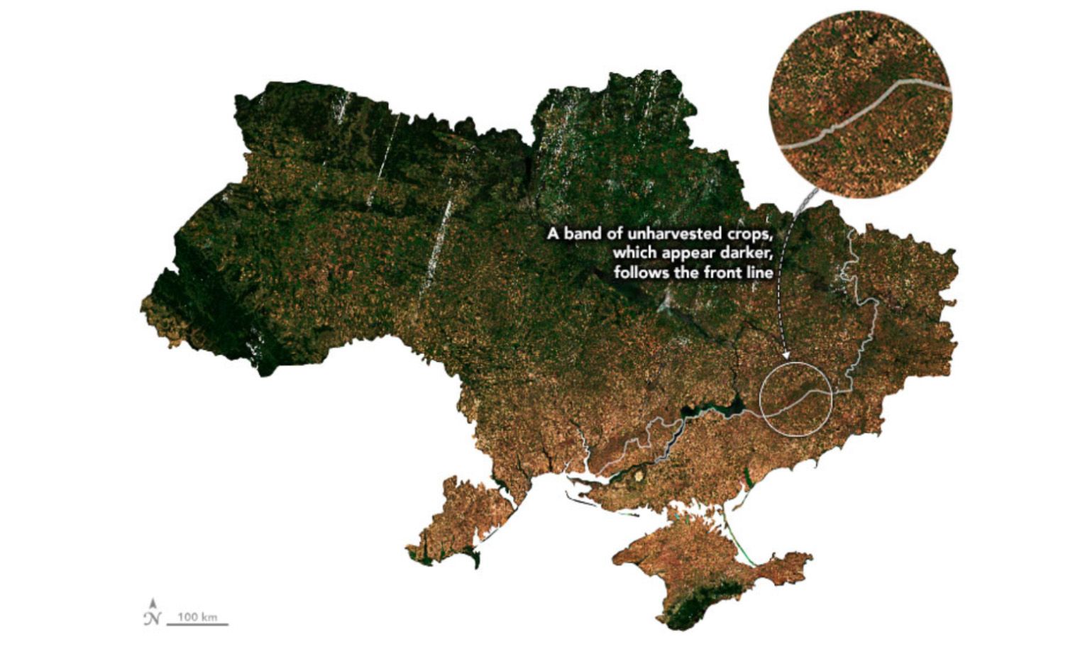
The Most Documented Invasion In  History

Scroll to discover a small collection of Planet satellite images that have brought unprecedented transparency into the Russo-Ukrainian War.

Satellite imagery shows Russian military buildup near Ukraine’s border

October 12, 2021 - December 29, 2021 | Yelnya, Russia

This pair of high-resolution SkySat images shows the buildup of Russian infrastructure and vehicles about 160 miles (260 kilometers) north of Ukraine.

PlanetScope daily monitoring and high-resolution SkySat tasking improved situational awareness on the ground and acted as a source of truth to counter misinformation online.

Monitoring the Russian Navy in the Mediterranean

February 23, 2022 | Mediterranean Sea

Satellite imagery shows the Russian Navy as they sailed in the Mediterranean Sea.

Over the course of the crisis, PlanetScope imagery has been used to enhance maritime domain awareness.

Rocket strike origins determined using open-source intelligence (OSINT)

February 27, 2022 | Belgorod Oblast, Russia

External intelligence researchers used Planet imagery to identify likely sources of Russian missile attacks.

The plume of smoke rises from what analysts determined to be a probable Multiple Launch Rocket System (MLRS) oriented in the direction of Kharkiv.

Monitoring humanitarian crises through damage assessment and artificial intelligence (AI)

March 2022 | Borodyanka, Ukraine

Planet worked with the United Nations and Microsoft’s AI for Good Lab to assess the extent of structural damage caused by the war, identifying affected schools, hospitals, and sanitation facilities.

2022
May 20, 2022

High-resolution tasking helps track dark ships and identify potential grain smuggling

June 5, 2002 | Sevastopol, Ukraine

Planet enables analysts to conduct advanced maritime vessel detection and tracking.

External investigators reported an alleged laundering system of grain stolen from Ukraine by analyzing SkySat images of multiple vessels as they were loaded in port, and conducted ship-to-ship transfers out at sea while “dark.”

Land cover analysis of satellite imagery helps calculate wheat harvests

July 2022 | Ukraine

Near the frontline of the conflict, fields were left unharvested.

NASA Harvest used Planet imagery to calculate yields so governments and organizations could better see crop output in effected areas, and take appropriate compensatory measures.

2023
June 1, 2023

Breach of the Nova Kakhovka Dam

June 2023 | Kherson, Ukraine

In early June 2023, the Russia-controlled Nova Kakhovka Dam across the Dnipro River in Ukraine collapsed, flooding several downstream cities.

The sequence highlights how Planet’s satellite constellations provide a unique capability to monitor infrastructure in remote areas and conflict zones.

A New Military Camp in Belarus

June 2023 | Belarus

In late June 2023, Planet imagery was used to confirm reports of construction on a new military tent camp near Tsel, Belarus.

The camp was believed to house members of the Wagner Group who’d left Russia after a failed/aborted coup attempt.

Russia sinks line of ships to protect Kerch Bridge

August 2023 | Crimea

Planet imagery shows a line of seven partially submerged vessels near the Kerch Bridge, sunk by Russia as a defensive barrier against additional attacks against the bridge.

The Kerch Bridge was damaged in two previous attacks in October 2022 and July 2023.

Fortifications on a Moving Frontline

Fall 2023 / Robotyne, Ukriane

The Ukrainian army continued a southern counteroffensive against Russian forces to recapure Ukrainian territory into late 2023.

Planet satellite imagery showed lines of interlocking obstacles, trenches, minefields, and bunkers fortified by Russian forces that challenge Ukrainian progress.

Russian Aircraft Destroyed by a Ukrainian Drone

September 2023 | Pskov, Russia

In August and September 2023, Ukraine conducted a series of drone attacks against Russian airports and air bases.

The satellite image shows several destroyed military transport planes at Pskov International Airport in Pskov, Russia.

Daily, global situational awareness

Planet imagery has proven critical to intelligence, surveillance, and reconnaissance (ISR) missions throughout the conflict in Ukraine through rapid satellite tasking and information downlink.

Open, shareable data and the urgency of the conflict has catalyzed technology and humanitarian solutions that will have positive, global implications beyond this war.

Learn More

Get access to critical data with  Planet

Let's discuss how near real-time satellite data can help you achieve your mission.

Planet Monitoring
Investors

© 2024 Planet Labs PBC. All rights reserved.
| Privacy Policy | California Privacy Notice |California Do Not Sell
Your Privacy Choices  | Cookie Notice | Terms of Use | Sitemap