Search

Civil Government
AI-Powered Change Detection to Support Critical Decisions
AI-Powered Change Detection to Support Critical Decisions
Timely, actionable Earth observation data for successful program and policy results.
Scroll to Learn More
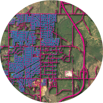
Accelerate Subsidy and Compliance Workflows
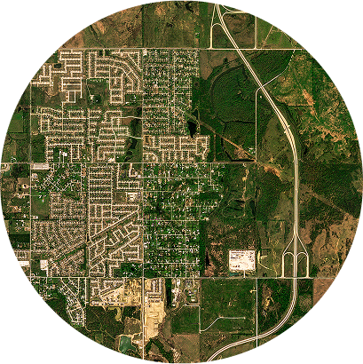
Reduce Risk with AI-Driven Analytic Feeds
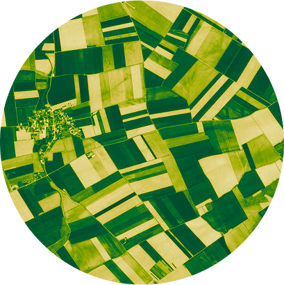
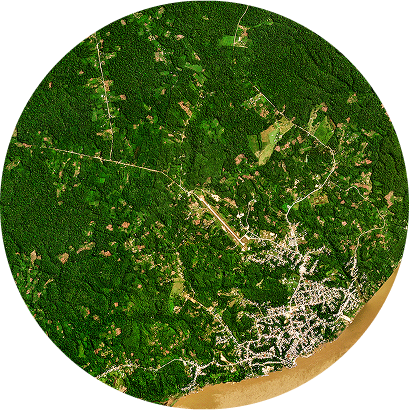
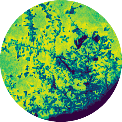
Track Tree-Scale Changes Across Your Territory
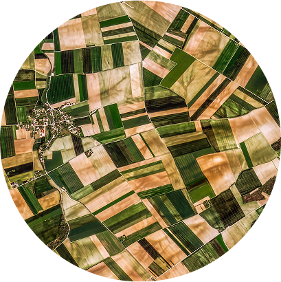
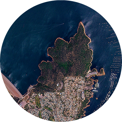
Monitor Detailed Changes, From Ponds to Coastlines
Timely, actionable Earth observation data for successful program and policy results.
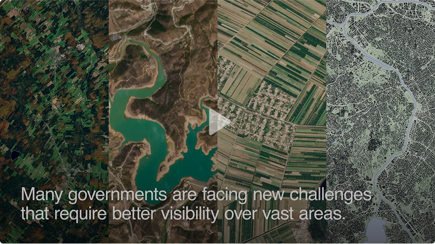
Governments around the world rely on our data, tools, and partners to monitor progress on key initiatives and support strategic, data-driven decisions. Discover what powerful, scalable insights can do for your agency.
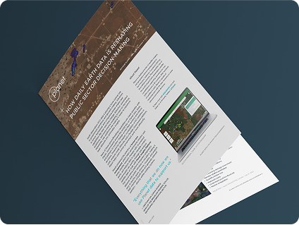
How Near-Daily Earth Data is Reshaping Public Sector Decision-Making
Areas of Expertise
Whether you’re managing forests, watersheds, working lands, or the built environment, our data and tools offer unprecedented visibility.
Accelerate Subsidy and Compliance Workflows
Automate compliance and subsidy payment workflows
Expedite payouts covering production losses after disasters
Monitor agricultural water consumption and nutrient runoff
Reduce Risk with AI-Driven Analytic Feeds
Monitor critical infrastructure like utility lines, dams, and ports
Automatically detect new roads and buildings
Quickly assess building damage after natural disasters
Track Tree-Scale Changes Across Your Territory
Keep an eye on permitted activity and spot new forest disturbances
Track forest health for commercial, ecological, and recreational needs
Generate revenue with reliable forest carbon estimates
Monitor Detailed Changes, From Ponds to Coastlines
Identify the location and extent of rapid changes to water quality and availability
Fill data gaps from public satellite data, in-situ sensors, and in-person sampling
Detect unauthorized activities, such as fishing in no-take zones

There is no other comparable commercial system offering the combination of sensing large areas in high spatial and temporal resolution.

Petr Lukeš
Remote Sensing Scientist, Forest Management Institute, Czech Republic


TRUSTED BY


PLATFORM
Deliver Earth Observation Data to Users Across Departments
Deliver Earth Observation Data to Users Across Departments
Streamline data processing and analysis with Planet Insights Platform.
See Planet Insights Platform in Action
Get detailed and actionable insights needed to act fast.
Driving Program and Policy Effectiveness With Planet
© 2025 Planet Labs PBC. All rights reserved.
| Privacy Policy | California Privacy Notice |California Do Not Sell
Your Privacy Choices | Cookie Notice | Terms of Use | Sitemap
