Counting 5.2 Billion Trees Across Two Nations

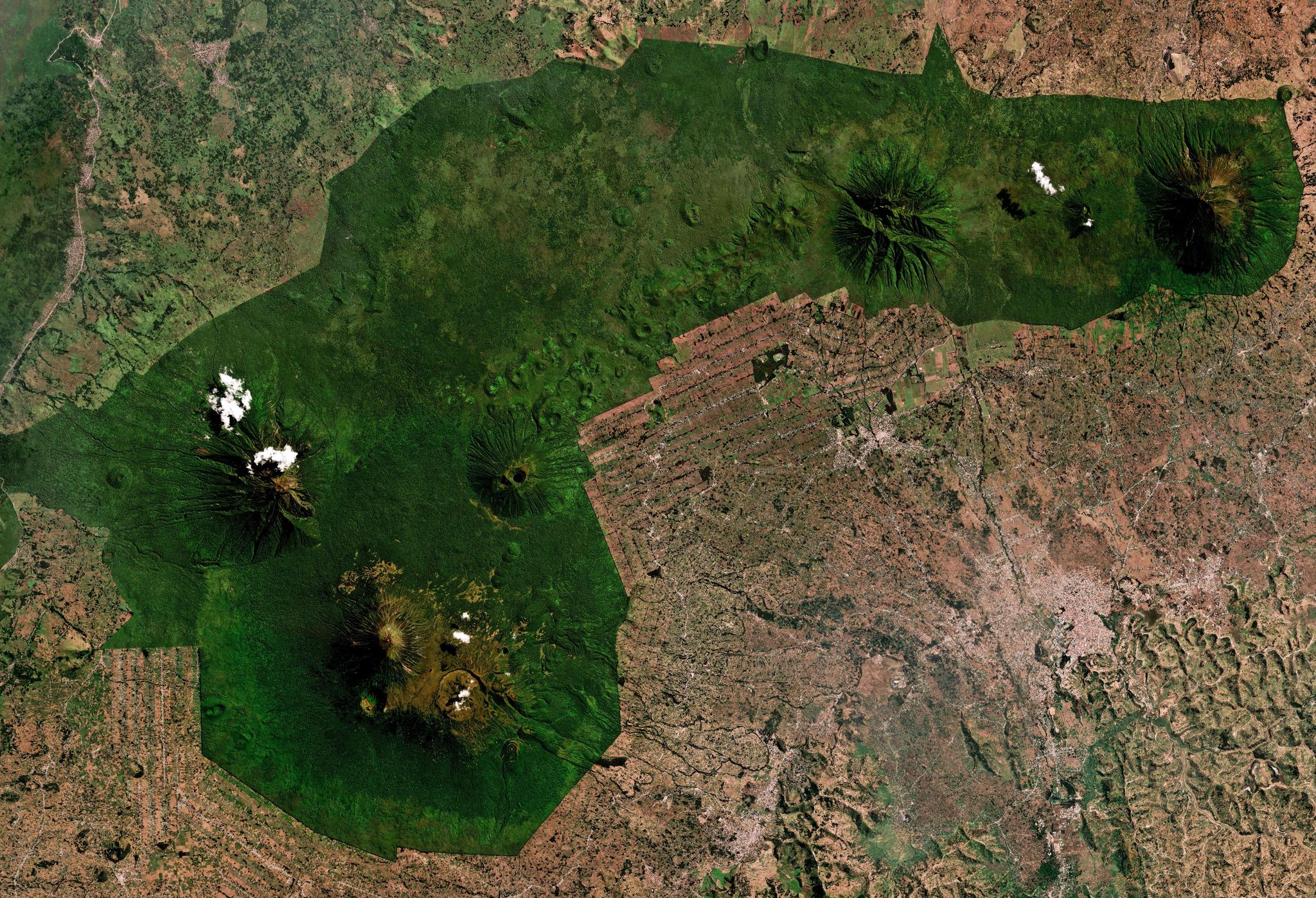
Planet Mosaic of Volcanoes National Park in Rwanda from July 2024. © 2024 Planet Labs PBC. All Rights Reserved.
PublicationsHow many trees exist outside a forest?
A team led by researchers at the University of Copenhagen, working with the Rwanda Space Agency, Rwanda Forestry Authority, and Tanzania Forest Services Agency, set out to answer that at national scale — and the results, published in the Journal of Remote Sensing, are striking.
Using a deep learning model trained on 12 million tree crowns and fed a 20-band composite of PlanetScope, Sentinel-1, and Sentinel-2 imagery, the team estimated roughly 5.2 billion trees across Rwanda and Tanzania in 2019. Results found that only 48.8% fall inside official "tree cover" classifications, with the rest scattered across croplands, shrublands, and grasslands that conventional forest-focused counting methods miss.
The results were then validated against national forest inventory data in both countries, suggesting conventional methods often fail to accurately capture tree counts at large scales, particularly in landscapes outside forests. The approach outlined in this research could be used by any agency or organization seeking reliable and actional tree counts across broad or remote areas.
What This Means for Government
For government leaders, counting trees is a baseline requirement for tracking national restoration pledges and assessing climate risk. Traditional strategies for mapping and counting trees often use very-high-resolution images, collected by unmanned aerial vehicles (UAVs), aircraft, and tasked satellites — all of which can be expensive to scale and obtain on a regular basis.
The approach outlined in this study offers a scalable framework for counting trees at the hectare level across entire countries, with reliable accuracy. At an operational scale, this provides value to civil authorities across several key areas:
- Smarter Resource Allocation: By confirming where trees exist across non-forest landscapes, agencies can establish accurate baselines for national restoration programs (such as AFR100 or net-zero pledges), ensuring funding and seedlings are deployed where habitat integrity and agricultural yields can be optimized.
- Scalable Compliance and MRV: For forestry, carbon market, and agricultural payment agencies, regional level regression models reduce the need for expensive aerial flights or manual ground surveys across remote regions.
- Proactive Landscape Management: Near-daily monitoring allows program managers to spot structural changes, track tree survival rates in reforested areas, and monitor environmental stress in sensitive biomes before degradation worsens.
Rather than replacing field expertise or national forest inventories, high-frequency satellite monitoring enhances existing authoritative datasets. It provides decision-makers with the defensible, territory-scale evidence needed to move from periodic reporting to proactive stewardship.
In Rwanda, access to this data is made possible through a national program to provide Planet imagery and daily feeds to governmental agencies, public universities, selected startups, and strategic development partners supporting national development initiatives and working with government agencies throughout the country.
Interested in exploring other cutting edge research using Planet data? Explore the Planet Publications database.
Citation
Maurice Mugabowindekwe, Dimitri Gominski, Florian Reiner, Xiaoye Tong, Philippe Ciais, Elias Nyandwi, Ivan Gasangwa, Yves Hategekimana, Elikana John, Russell Main, et al. A Remote Sensing-Based Solution for National Scale Tree Counting. Journal of Remote Sensing 6: Article 0970. https://doi.org/10.34133/remotesensing.0970