
Driving Digital Transformation in Wildfire Fuels Management With Satellite Data
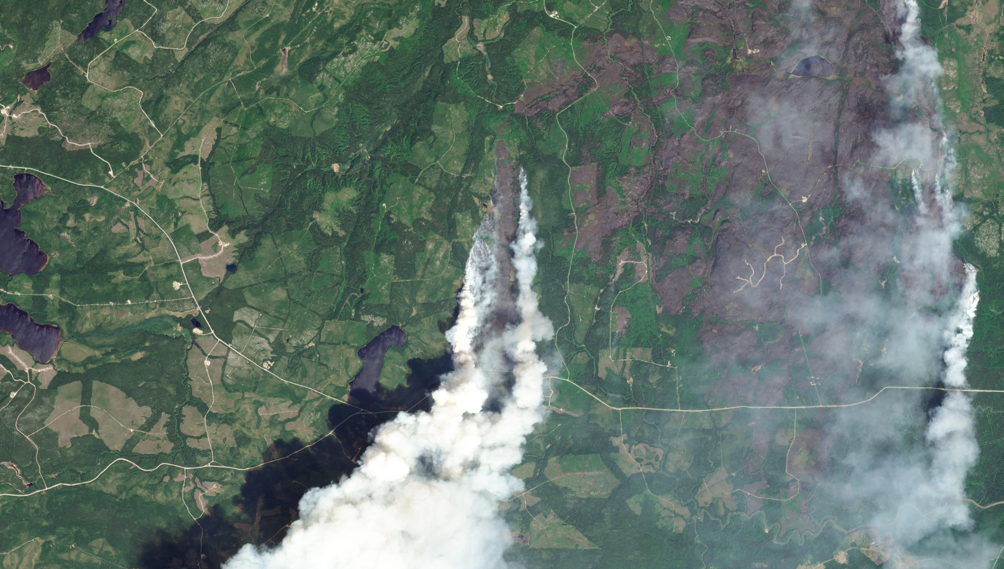
PlanetScope image of wildfires in Quebec, Canada taken June 6, 2023. © 2023 Planet Labs PBC. All Rights Reserved.
TechLearn how Earth observation data can help governments scale monitoring efforts and accelerate decision-making to minimize wildfire risk.
Wildland fires threaten communities and landscapes as climate change continues to drive increased heat and drought intensity. Recent studies have confirmed that forest fires today burn roughly twice as much tree cover as they did two decades ago, with monumental costs in damage to infrastructure, property, natural resources, and response operations.
As the frequency and severity of fires increases and the wildland-urban interface expands, governments are investing in more innovative wildfire risk reduction strategies that allow them to scale up monitoring efforts, accelerate decision-making, and improve visibility into remote regions before wildfire even occurs. Improved data frequency, resolution, and reliability are key to success, as is prioritizing digital transformation in government workflows.
Fuels Management: A Need for Better Data for Better Wildfire Risk Modeling Over Broad Areas
Fuels management activities — such as prescribed burns, vegetation thinning, invasive species removal, and fuel breaks — build wildfire resilience and are a major focus of wildland fire preparation and mitigation. Wildland fire programs require accurate information about their jurisdictions to create wildland fire risk models and corresponding fuels management and fuel reduction plans.
But it’s not a fair match: governments are tasked with managing broad areas with varying topographies, from sprawling cities to remote and rugged wildlands. Blind spots in data coverage increases vulnerability during extreme events, and wildfire risk models and management plans can only be as accurate and effective as the provided data.
Data + Fuels Management Insights: Soil Water Content Is a Leading Indicator of Vegetation Dryness
Live fuel moisture (LFM), or the moisture contained in living vegetation, is a strong indicator of wildfire risk. In many wildfire-prone areas, government employees regularly collect vegetation samples from specific locations to understand how quickly fuels will burn. Field surveys provide valuable information but can be difficult to regularly perform at the landscape scale, especially in remote regions.
However, studies show that soil water content is a leading indicator of LFM content. When soils are drier than normal — such as during a flash drought that causes rapid dry-down — vegetation is more likely to burn.
With novel remote sensing techniques, vegetation dryness and wildfire risk can also be measured over large areas at a higher frequency than before.
Planet Soil Water Content data — derived from satellite sensors — is strongly correlated with ground measurements of soil moisture, and can be used as an input in wildfire risk models. This is extremely useful if you need to monitor conditions at a broad landscape scale, and optimize field crew time, routes, and priorities.
Monitoring Forest Structure and Fuels Reduction: Alternatives to Aerial Surveys
In order to understand and monitor forest health changes over time, governments often use LiDAR to measure the 3D structure of vegetation and topographic features. Mounted on airplanes, helicopters, and UAVs, LiDAR data can retrieve particularly high-resolution information about a specific area of interest, but it can be costly to scale data collection across an entire region. Satellite data can be used to optimize aerial survey routes, and potentially reduce reliance on them.
Planet offers a suite of Forest Structure data products built using sensor fusion, scaling precise LiDAR measurements over our frequently-updated basemaps. This allows you to monitor changes in woody vegetation, canopy height, and canopy cover at less than 5 meter resolution. This can often provide height metrics down to the granularity of a single large tree, or groups of small trees.
Reduce Infrastructure- and Utility-Related Wildfire Risk Due to Vegetation Encroachment
Canopy height data can be combined with existing infrastructure data to highlight trees that are tall enough and close enough to utility equipment or transmission or distribution lines to potentially cause an outage or ignite a wildfire if it were to fall during an extreme weather event.
More than just data, this insight gives agencies an accurate, up-to-date map highlighting locations that pose a high potential “grow-in” and “fall-in” risk to infrastructure across an entire region — while keeping costs of aerial flyovers down.
Planet data can also help governments measure defensible space compliance and even verify when trimming work has been completed, creating a common operating picture for multiple actors and agencies.
What About Free, Public Satellite Imagery?
Standard optical satellite data from Landsat or Sentinel is free to many government users. However, it is often not available at the frequency or level of detail required for critical analysis.
Commercial satellite-based data sources are revolutionizing wildfire risk management efforts and enhancing our ability to protect communities, infrastructure, and natural resources. New sensors and data tools are helping improve wildfire risk models and track the progress of mitigation programs.
Data to Accelerate Digital Transformation in Wildfire Preparedness: Planet Is the Innovator
Powered by the world’s largest constellation of Earth observation satellites, Planet satellite data provides the most powerful combination of data frequency, resolution, and reliability on the market. Planet offers unmatched data tools and solutions unified into a single platform, creating a common operating picture for users across government wildland fire mitigation and planning programs.
Digital transformation is helping to streamline forest health monitoring, invasive species tracking, fuel breaks planning, utility line clearance monitoring, and documentation of fuels reduction programs. Improve the frequency, effectiveness, and accuracy of risk assessments and risk reduction activities while scaling up monitoring capabilities across your entire management area. Planet can support a wide variety of government pre-fire programs to fulfill their missions with more efficiency, thoroughness, and speed.
Reliable, Timely, and Broad-Scale Data for Wildfire Mitigation
You’re only as ready as your risk model is accurate. Learn more about how Planet data can help your wildfire risk mitigation program reduce costs, respond faster to emerging hazards, and fill important gaps in data before wildfires occur.
These on-demand webinars explore how governments around the world are benefitting from reliable, timely, and broad-scale data to support wildfire mitigation efforts.
- Monitoring Wildfire Risk and Hazard Fuels Removal Webinar: Learn how Planet data can help governments better monitor forest health, measure fall-in risk for individual trees, and monitor the success of vegetation removal programs. Case studies include CalFIRE and the Czech Republic Forest Management Institute's use of Planet data.
- Multi-Hazard Risk Mitigation Webinar: Learn how Planet data can help emergency management offices monitor highly dynamic changes over large areas and prepare for interrelated and cascading disasters. Features a case study from the Netherlands Institute for Public Safety (NIPV) use of Planet data.
Or, if you’re ready to talk to a member of our team, get in touch!
Ready to Get Started
Connect with a member of our Sales team. We'll help you find the right products and pricing for your needs.