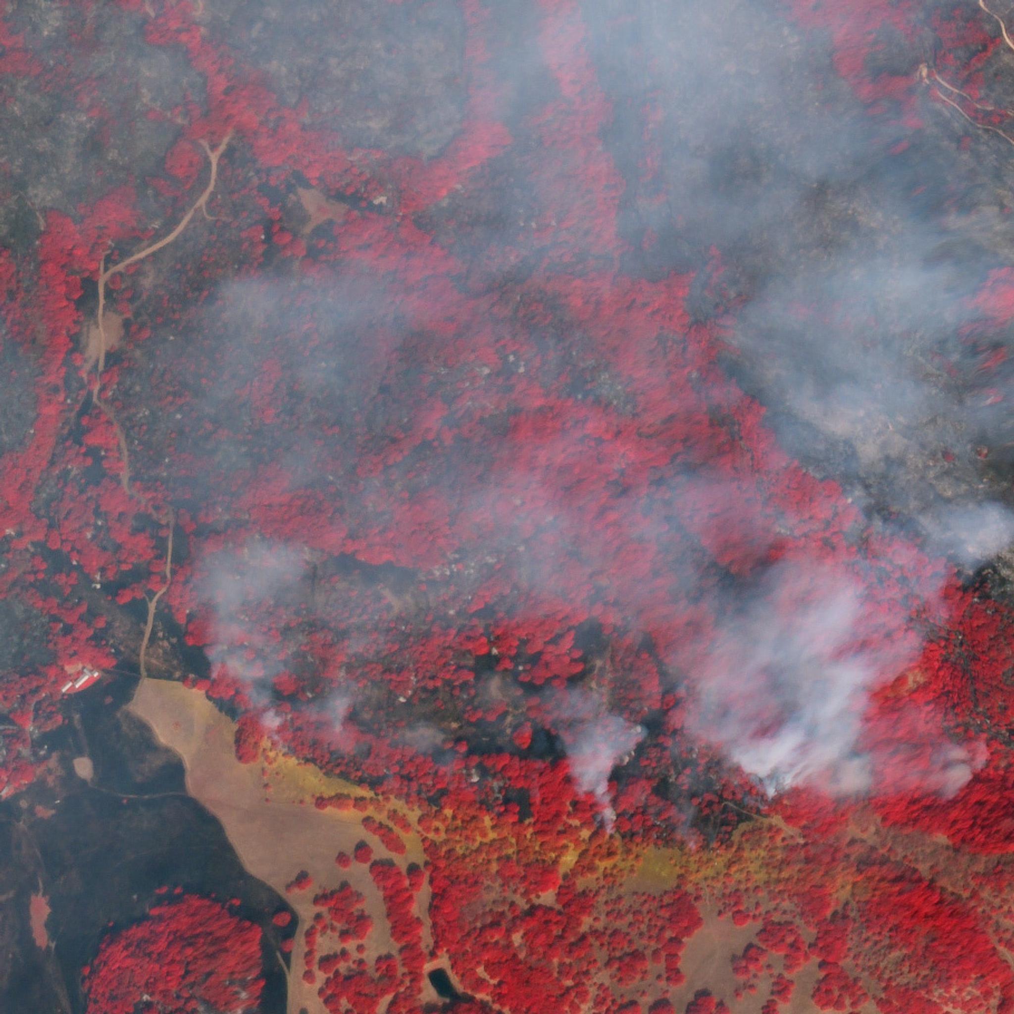
NewsNewsNorthern California Wildfire Satellite Data Available For AccessSarah Bates |October 10, 2017|2 min readRead more
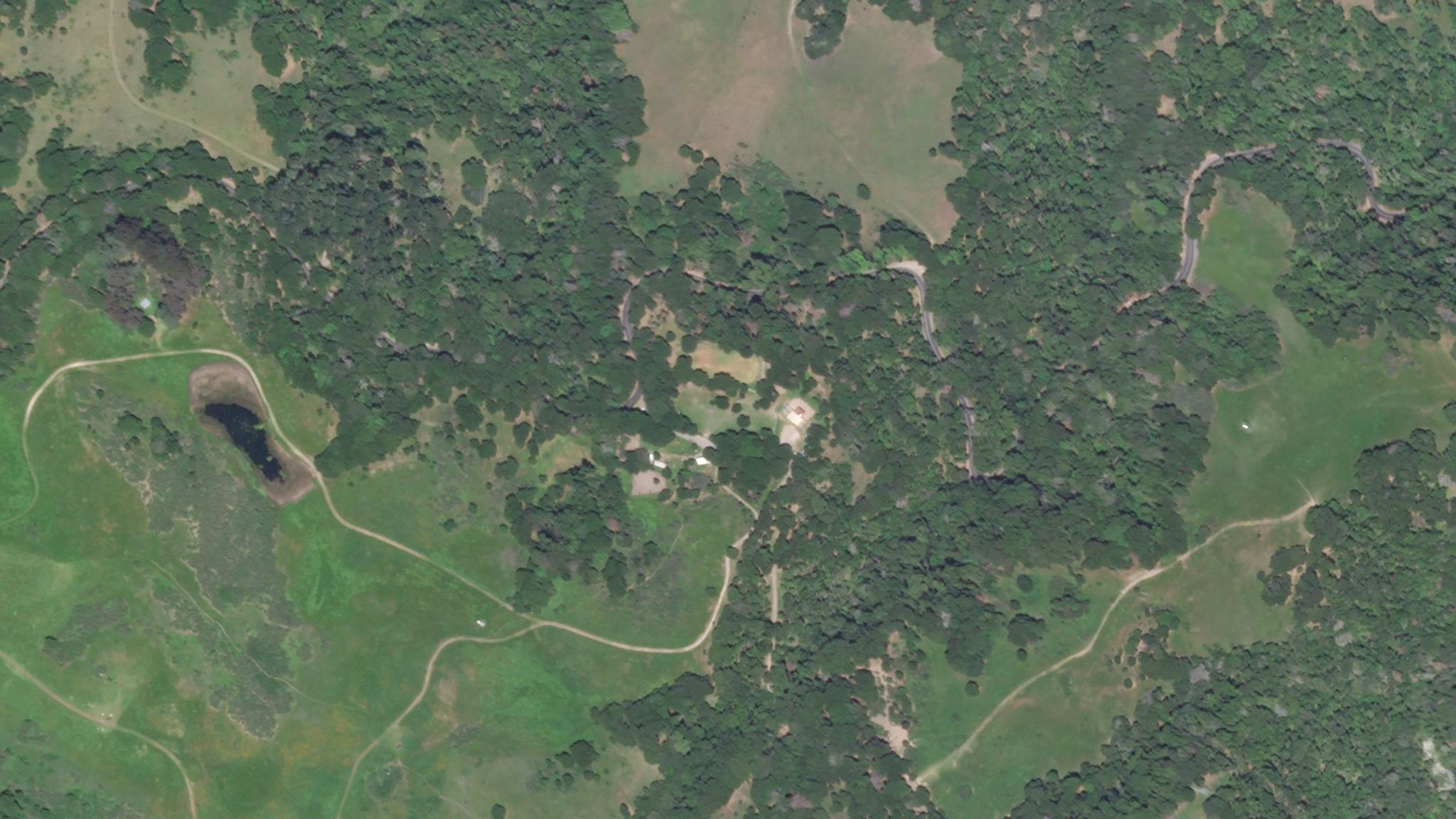
TechTechCalifornia Forest Observatory Sets New Standard for Mapping Forests and WildfireParis Good |September 14, 2020|4 min readRead more
StoriesStoriesUsing NDVI Differences to Measure Drought in the Russian River WatershedRyder Kimball |July 29, 2021|7 min readRead more
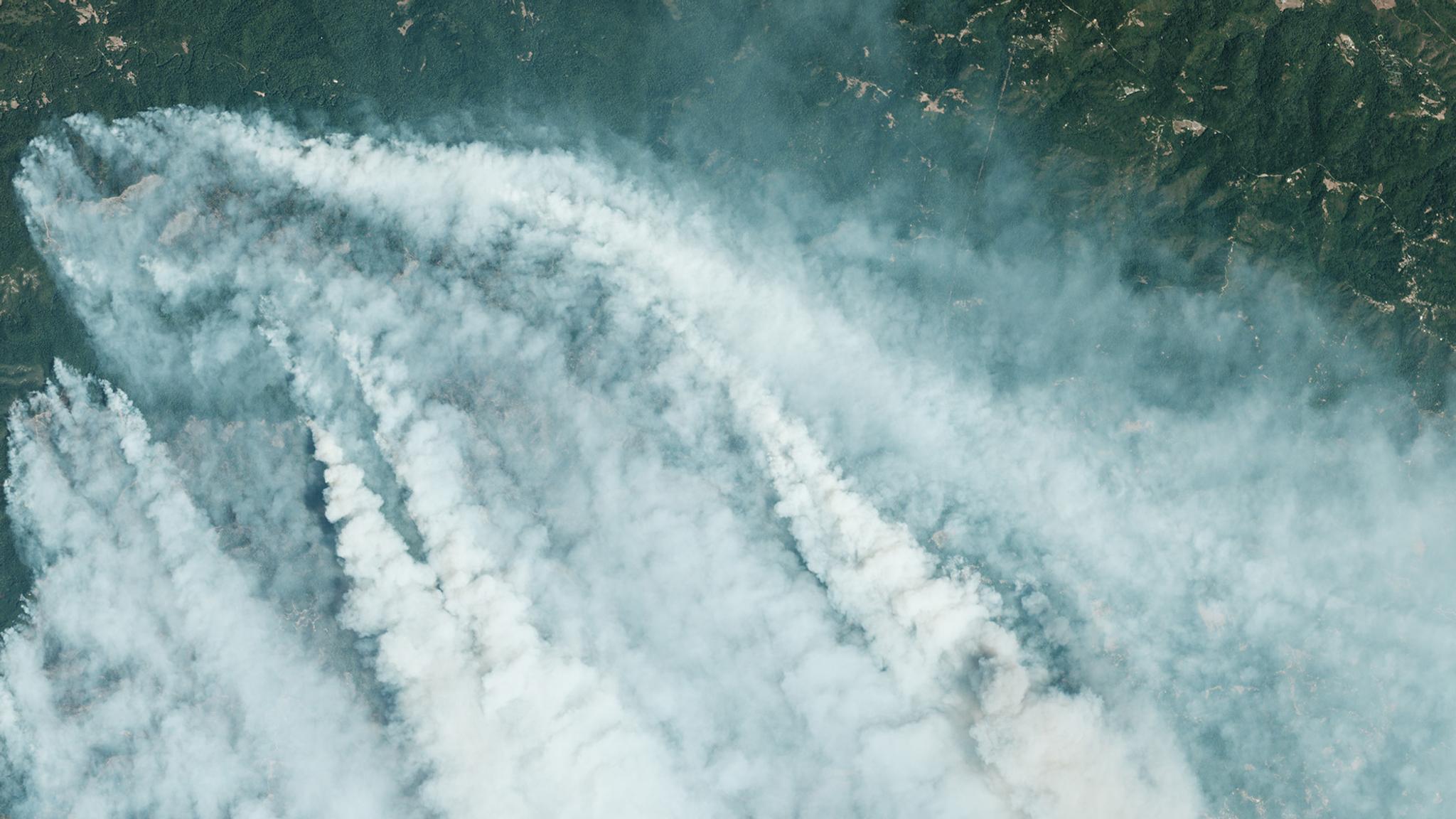
StoriesStoriesPilot Program Pushes Boundaries for Wildfire DetectionParis Good |October 7, 2020|3 min readRead more
TechTechHow Swift Geospatial is Creating Positive Change in Forest ManagementJenna Mukuno |March 21, 2020|4 min readRead more
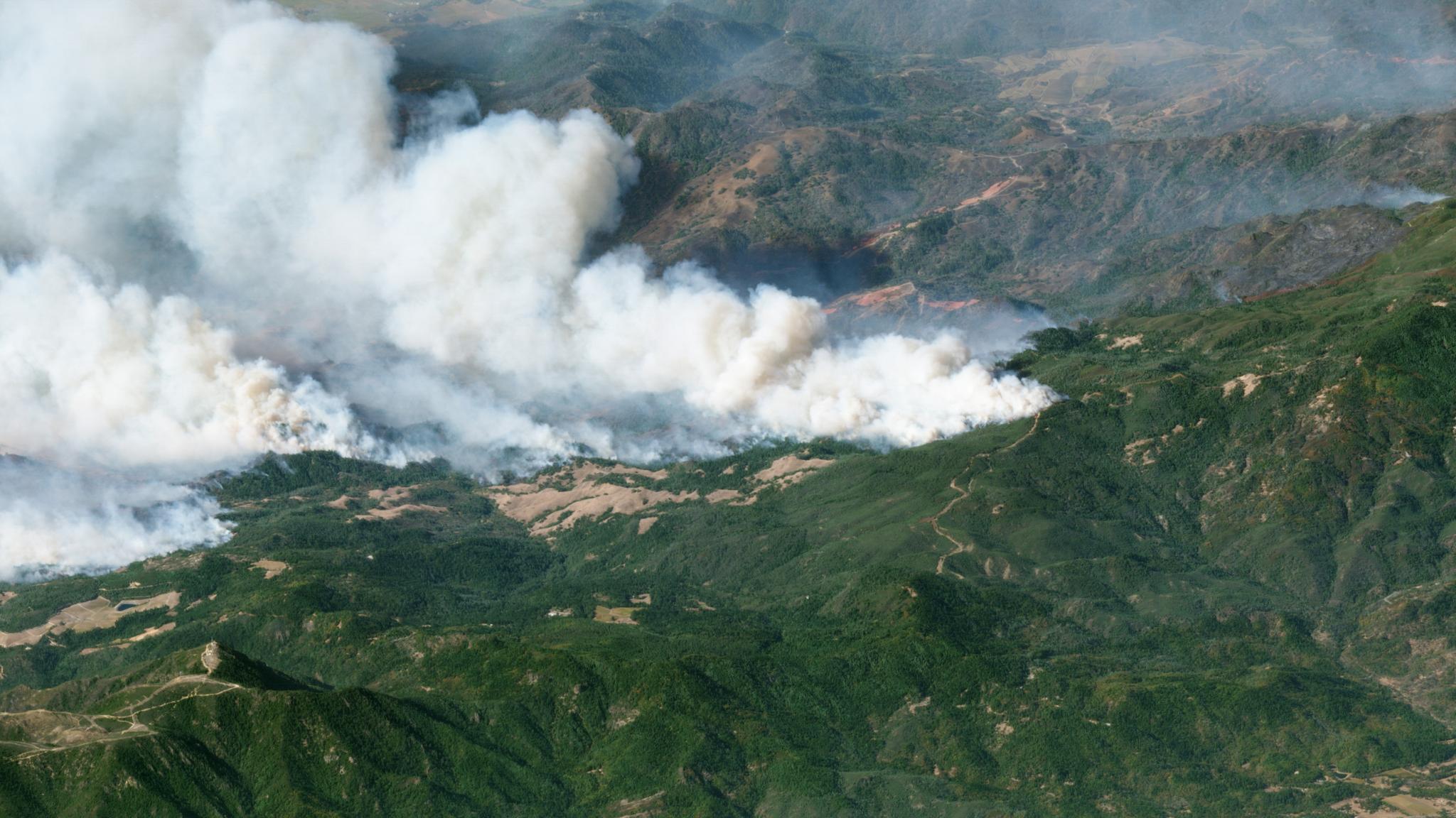
TechTechDriving Digital Transformation in Wildfire Fuels Management With Satellite DataMadeline Dahm |April 3, 2024|6 min readRead more