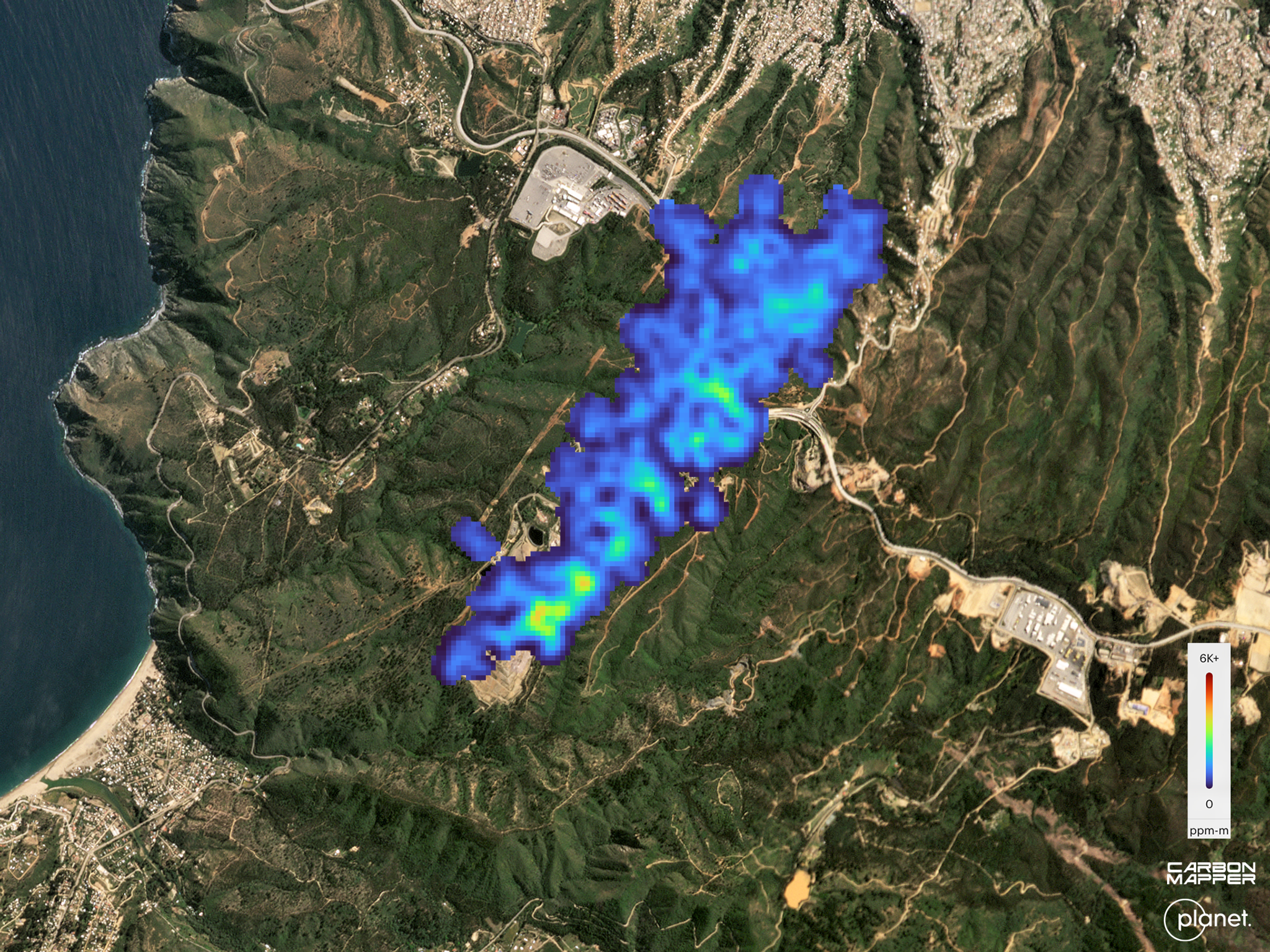
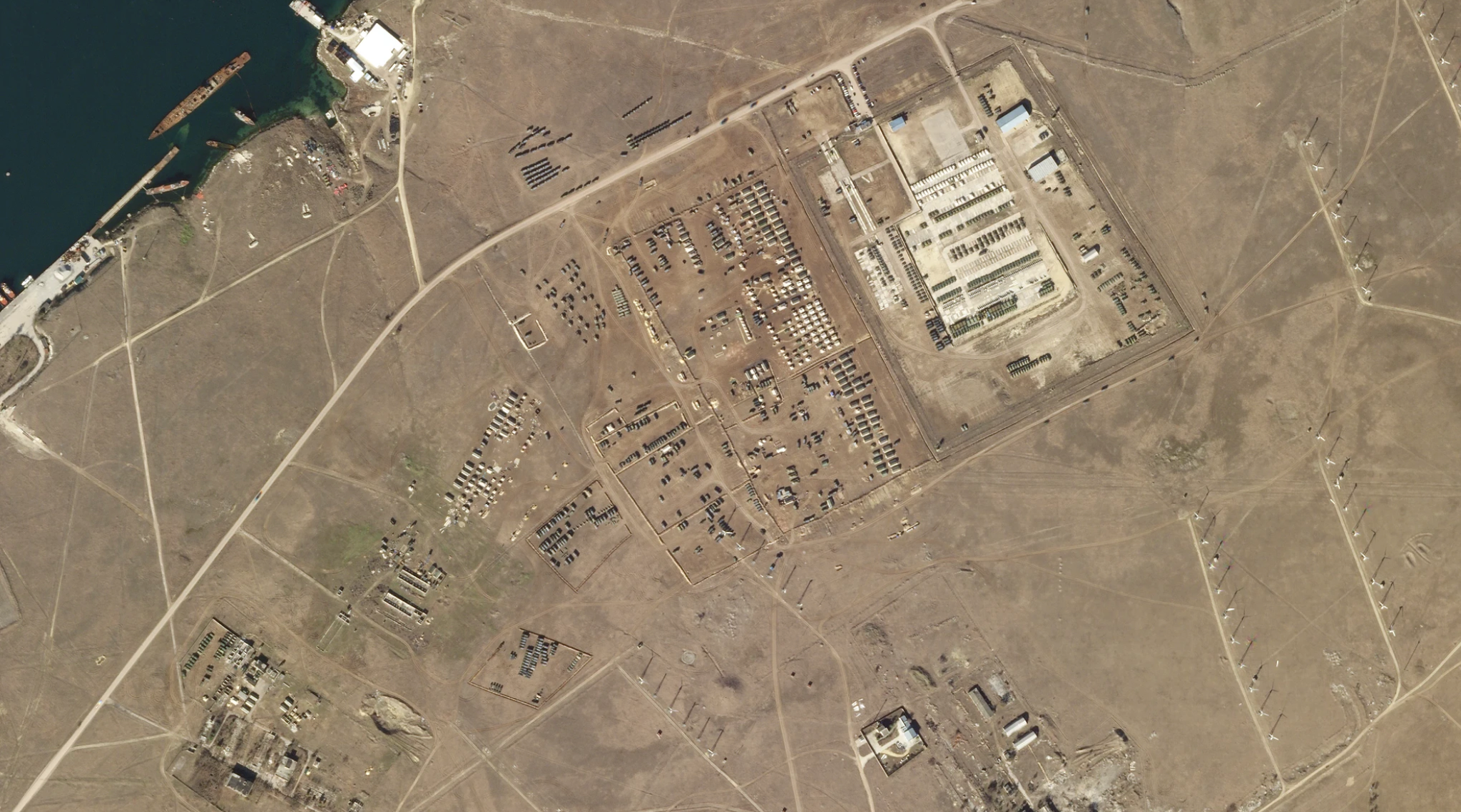
NewsNewsCarbon Mapper data from the Tanager-1 satellite reveals methane and carbon dioxide super-emitter activity around the worldPlanet Labs PBC |November 16, 2024|7 min readRead more
TechTechHow Forest Carbon Data Helps Bridge Observation to ActionPlanet Labs PBC |November 15, 2024|5 min readRead more
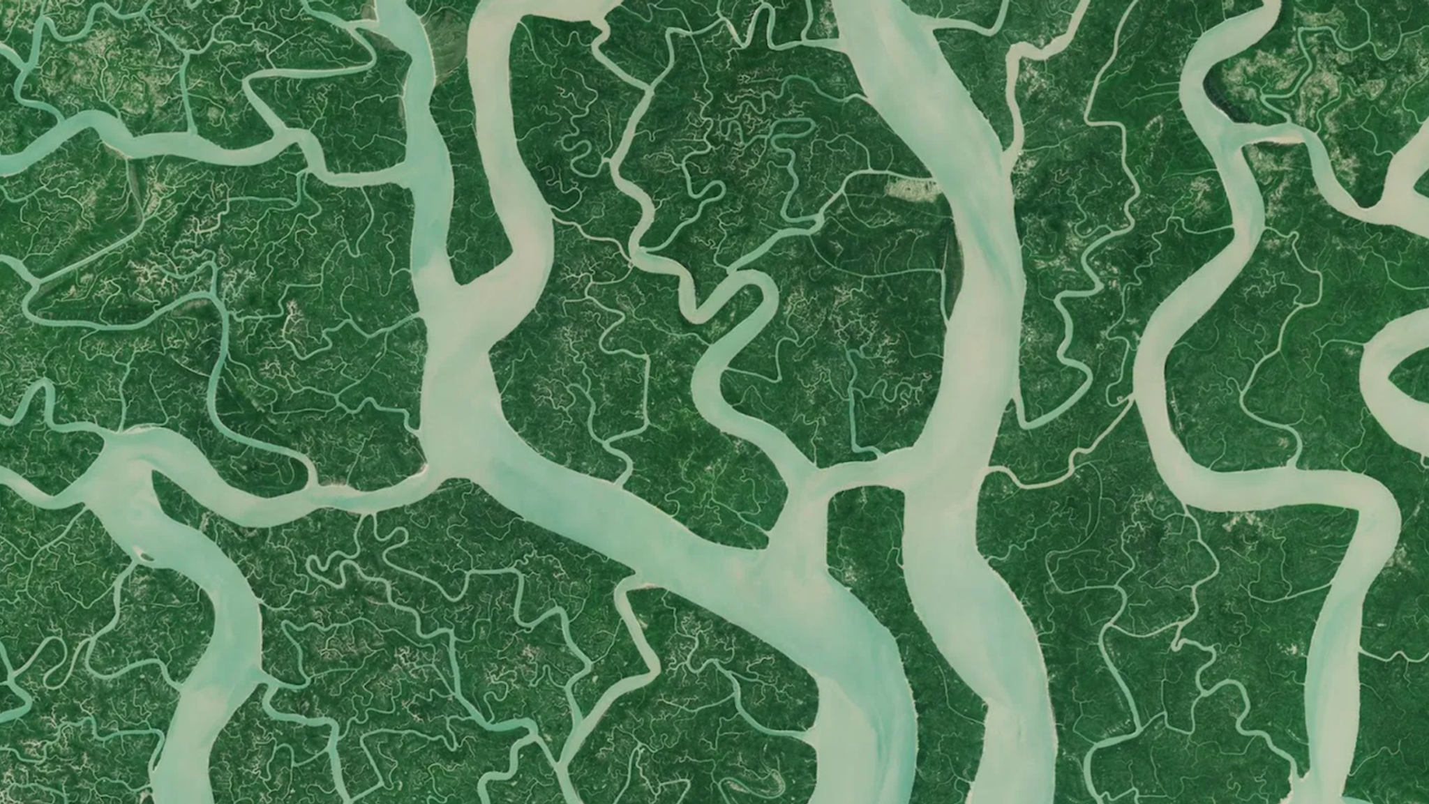
TechTechAdvanced Techniques for Vegetation Monitoring With Planetary VariablesMolly Hamm |November 14, 2024|7 min readRead more
StoriesStoriesManaging Risk in Colombia with High-Res Real-Time Satellite MonitoringLina Torres |November 12, 2024|4 min readRead more
StoriesStoriesAllSource Analysis Transforms Planet Data Into Actionable Intelligence for Governments and EnterprisesAriana Sexton |November 7, 2024|3 min readRead more
StoriesStoriesPSAI: Transforming Global Monitoring With Planet DataAriana Sexton |November 7, 2024|3 min readRead more
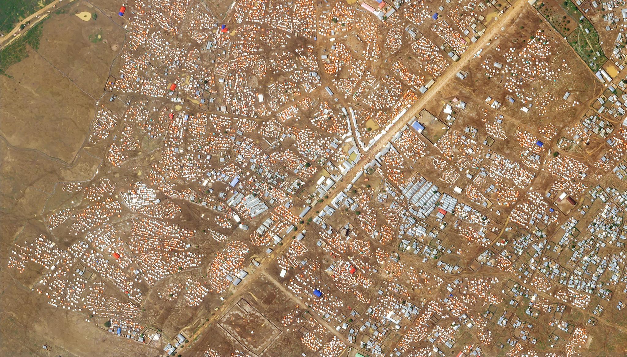
StoriesStoriesHala Systems and Planet: A Partnership for Civilian ProtectionPlanet Labs PBC |October 30, 2024|3 min readRead more
NewsNewsThe Tools to Move from ‘Do No Harm’ to ‘Nature-Positive’: Planet and Partners Release Report at COP16Planet Labs PBC |October 24, 2024|3 min readRead more
TechTechA Comprehensive Guide to Broad Area Management Through Satellite ImageryMolly Hamm |October 23, 2024|19 min readRead more
TechTechPlanet Releases Analysis-Ready PlanetScope Product for Time-Series Analysis and Machine Learning ModelsPlanet Labs PBC |October 21, 2024|3 min readRead more
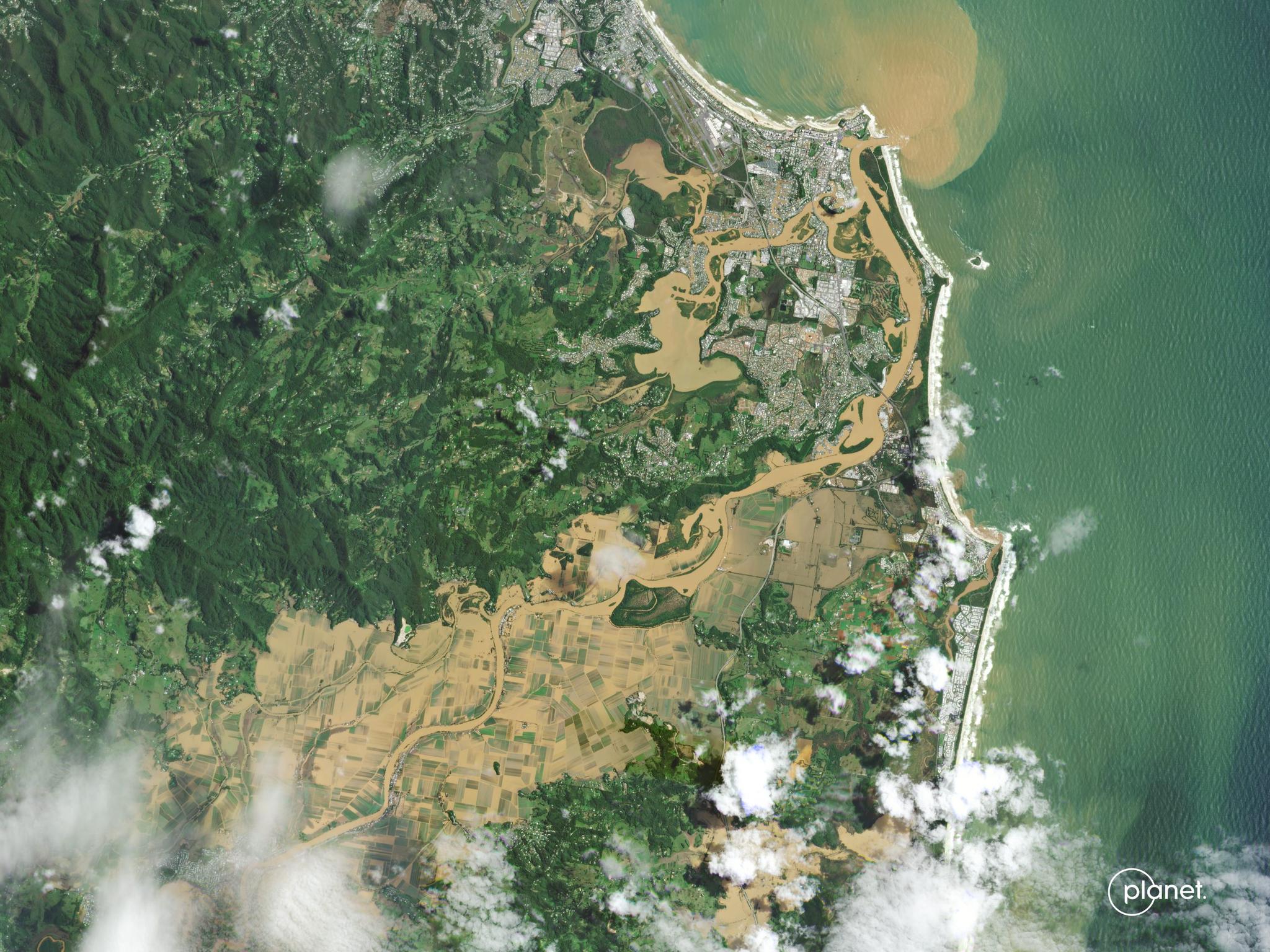
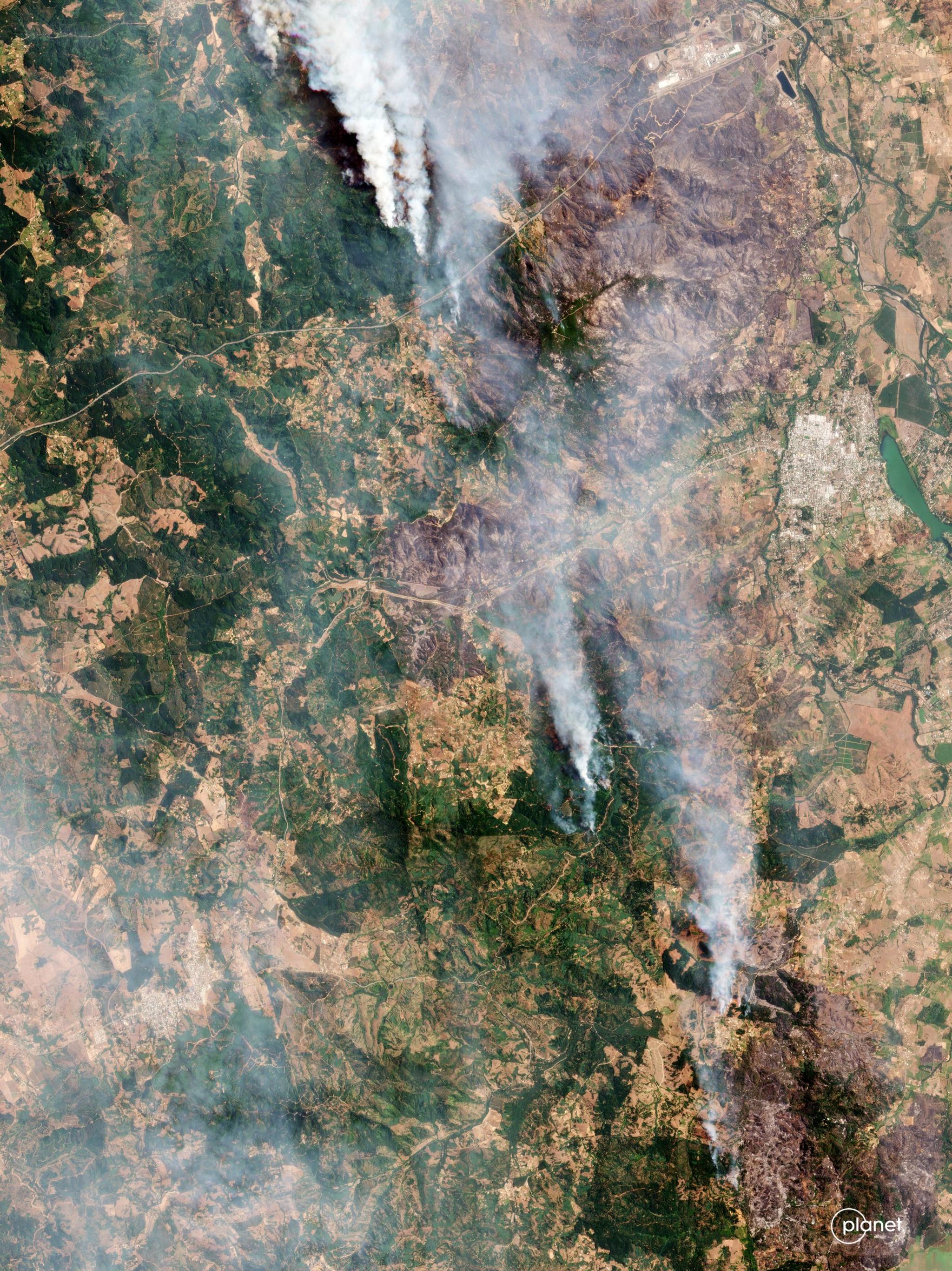
StoriesStoriesFrom Floods to Fires: How Latin America is Tackling Disasters with TechnologyLina Torres |October 17, 2024|4 min readRead more
StoriesStoriesWorld Food Day: Using Planet Data for Food Security & Environmental ProtectionJaneth Fule |October 15, 2024|3 min readRead more