Planet Integrates Tools with Pioneering GIS Company Esri

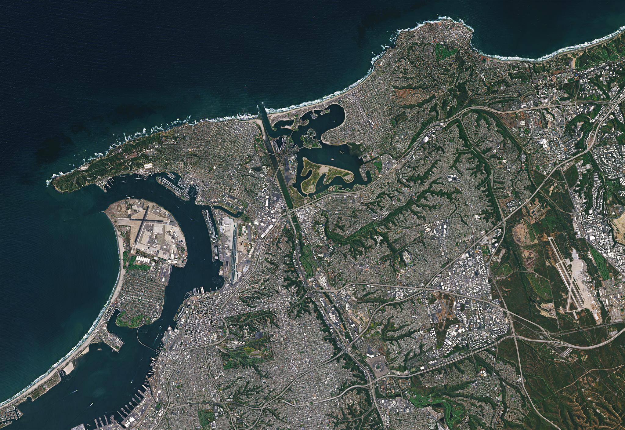
San Diego, CA, and surrounding areas © 2019, Planet Labs Inc. All Rights Reserved.
NewsAt the Esri User Conference, Planet CEO Will Marshall just announced Planet’s release of the ArcGIS Pro desktop plug-in for Esri, a GIS global market leader with a suite of tools often used by Planet customers. The plug-in, referred to as an “add-in” by Esri, will allow customers to easily access, view and download Planet Basemaps from within their workflow for deep-level analyses using ArcGIS Pro geoprocessing tools to build models, perform raster operations, or apply machine learning to Planet’s analysis ready imagery data. The Planet add-in makes it easy to access Planet imagery in ArcGIS Pro; enabling users to add each tile to a mosaic data set in the Esri geodatabase and publish the mosaic as an Esri Image Service. To stay ahead in today’s evolving business landscape, organizations need a persistent view of their operations everywhere on Earth. Planet makes global change accessible, searchable, and actionable for anyone by imaging the entire Earth every day. Esri and Planet are revolutionizing industries by enabling them to get location based insights from daily imagery to enable decision making at the speed of global change. “Planet’s customers work with a variety of geospatial tools,” says Annie Neligh, Planet product manager. “Our aim is to meet our customers in their workflows so they can make decisions more easily and rapidly.” Planet plans to continue feature development of this add-in to include daily imagery and higher resolution SkySat imagery. Planet will also continue to explore integrations into other Esri products such as ArcGIS Online. To explore further, download the ArcGIS Pro add-in here.

Ready to Get Started
Connect with a member of our Sales team. We'll help you find the right products and pricing for your needs.

