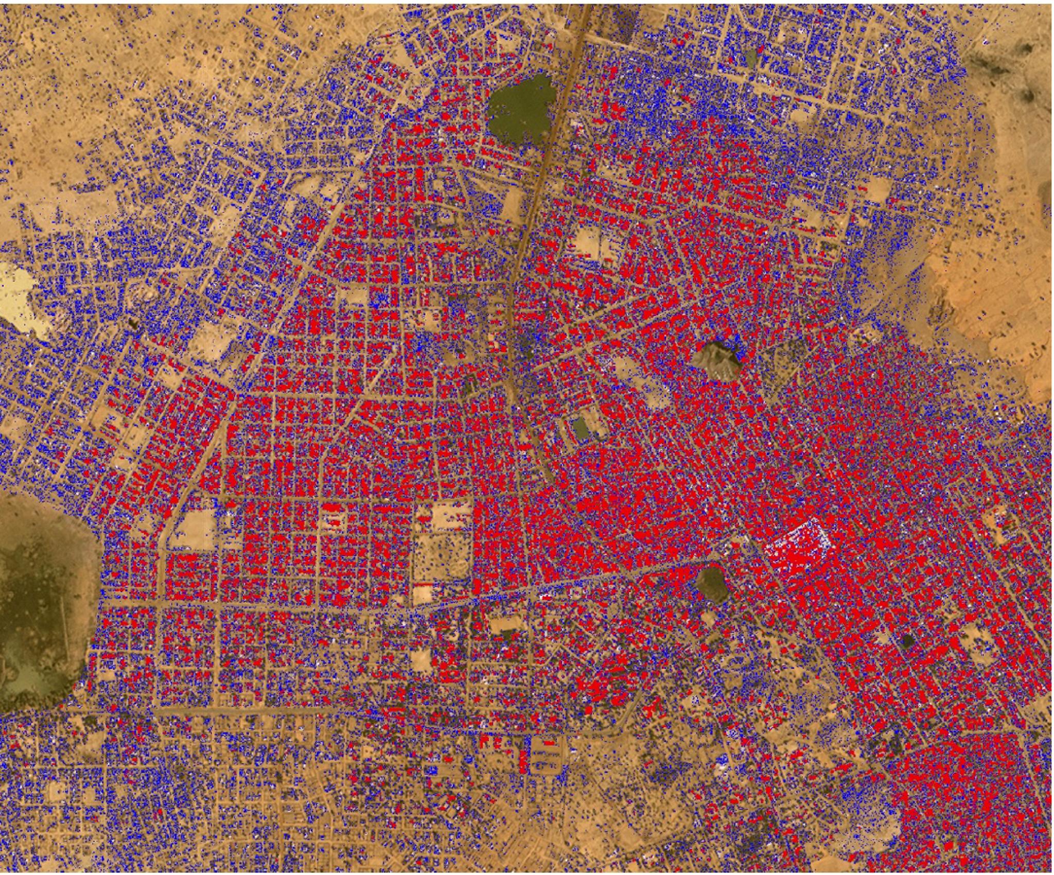
StoriesStoriesIHME, Microsoft, and Planet Collaborate to Map Climate-Vulnerable Populations In Unprecedented DetailAndrew Zolli |February 28, 2024|5 min readRead more
TechTechExperimenting with the Deep Data Stack: Ship CountingRobin Kraft |May 4, 2017|4 min readRead more
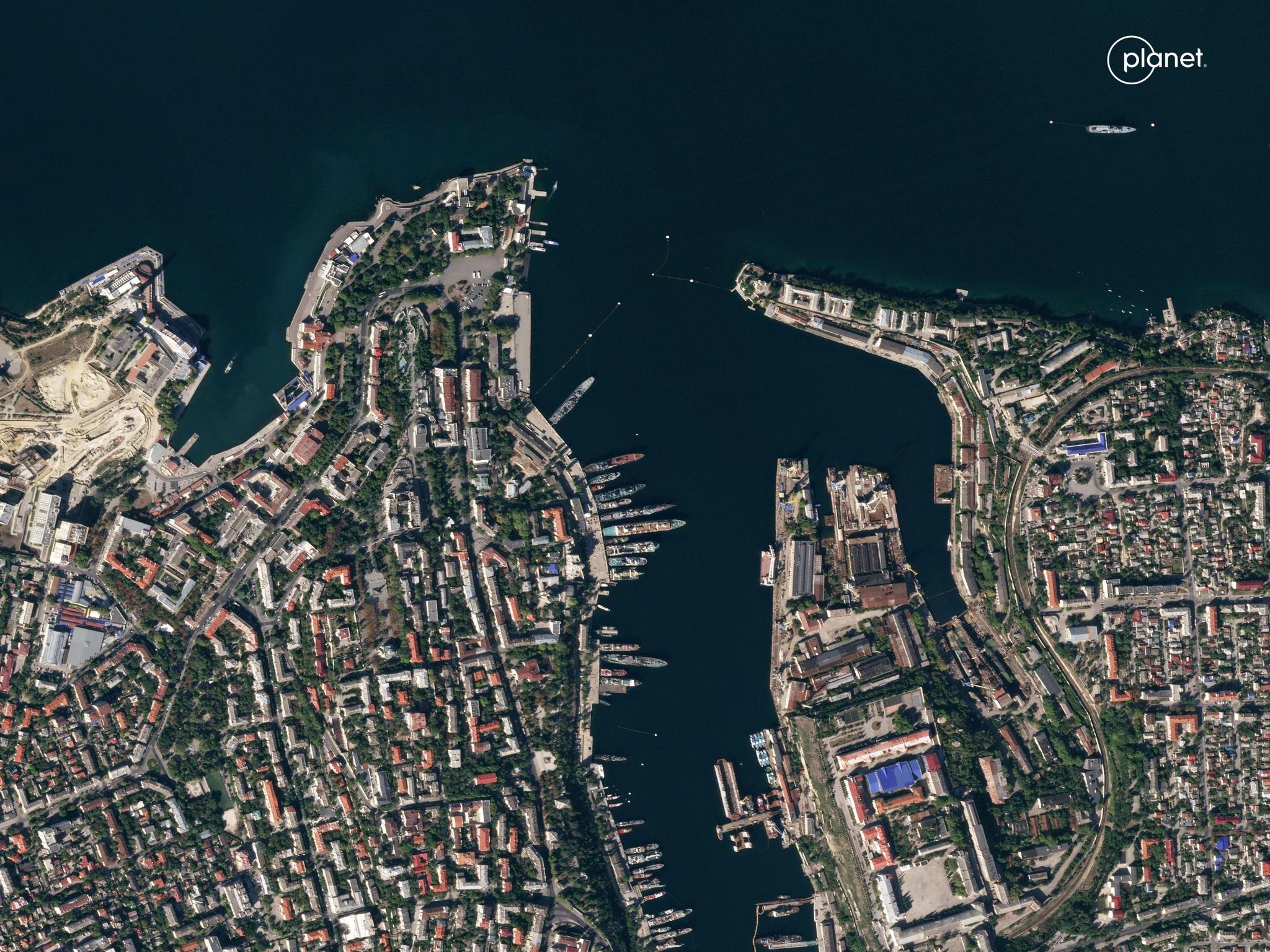
StoriesStoriesSatellite Data For Transparency in Global Conflict: Radio Free Europe/Radio Liberty on Russia’s War Against UkrainePlanet Labs PBC |February 23, 2024|3 min readRead more
StoriesStoriesPlanet Partner Upstream Tech To Offer Global Basemaps Subscription within LensPlanet Labs PBC |April 4, 2023|3 min readRead more
StoriesStoriesMapping the Future: How Zanzibar Is Reimagining Governance With TBI and PlanetPlanet Labs PBC |June 16, 2025|6 min readRead more
TechTechPlanetScope Now on Google Cloud Marketplace: Elevate Your Earth Monitoring ExperiencePlanet Labs PBC |February 9, 2024|3 min readRead more
StoriesStoriesComing Back to Earth with Planetary Scientist Tanya of MarsTanya Harrison |June 30, 2020|7 min readRead more
NewsNewsPlanetScope and SkySat Join ESA Third Party Mission Programme for Access to Planet Imagery for Research CommunitySarah Preston |April 20, 2022|4 min readRead more
TechTechPlanet Releases Analysis-Ready PlanetScope Product for Time-Series Analysis and Machine Learning ModelsPlanet Labs PBC |October 21, 2024|3 min readRead more
StoriesStoriesPlanet Data Helps Scientists Track the Impacts of Natural DisastersTanya Harrison |May 21, 2020|6 min readRead more