
Planet, KSAT and Airbus Awarded First-Ever Global Contract to Combat Deforestation
Norway’s Ministry of Climate and Environment today awarded an international contract to Kongsberg Satellite Services (KSAT), who, together with Planet and Airbus, will provide universal access to high-resolution satellite monitoring of the tropics in order to support efforts to stop deforestation and save the world’s tropical forests.
Through this program, the coalition of three geospatial organizations will bring new technologies and transparency to advance the mission of Norway’s International Climate and Forests Initiative (NICFI). This contract, valued up to 405M NOK (~$43.5M, ~37M €), is designed to protect the world’s tropical forests and provide sustainable pathways to economic development for forest communities and countries.
"This will revolutionize global forest monitoring. Better insight into what is happening in the rainforests will enhance efforts to protect these priceless ecosystems”, says Sveinung Rotevatn, Norway's Minister of Climate and Environment.
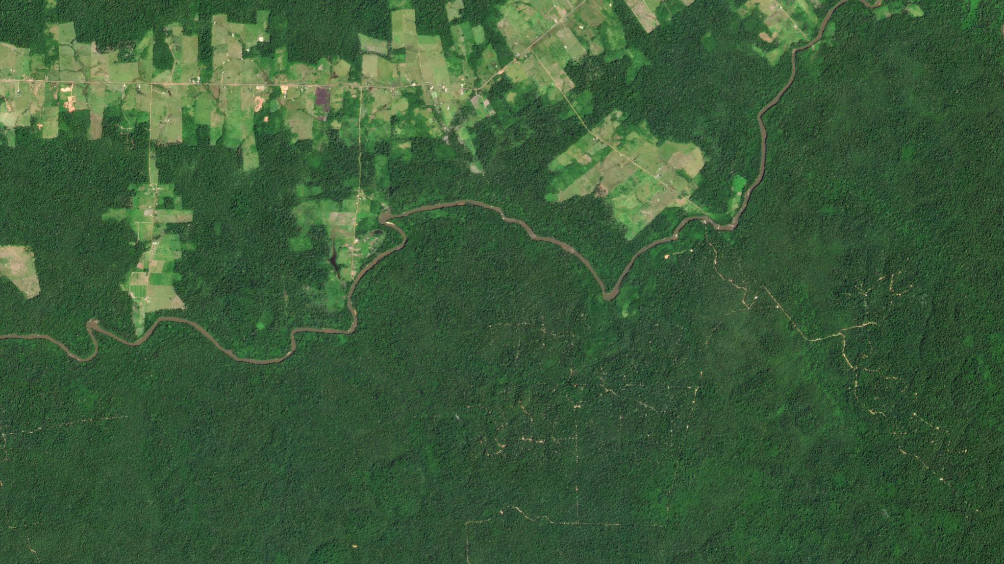
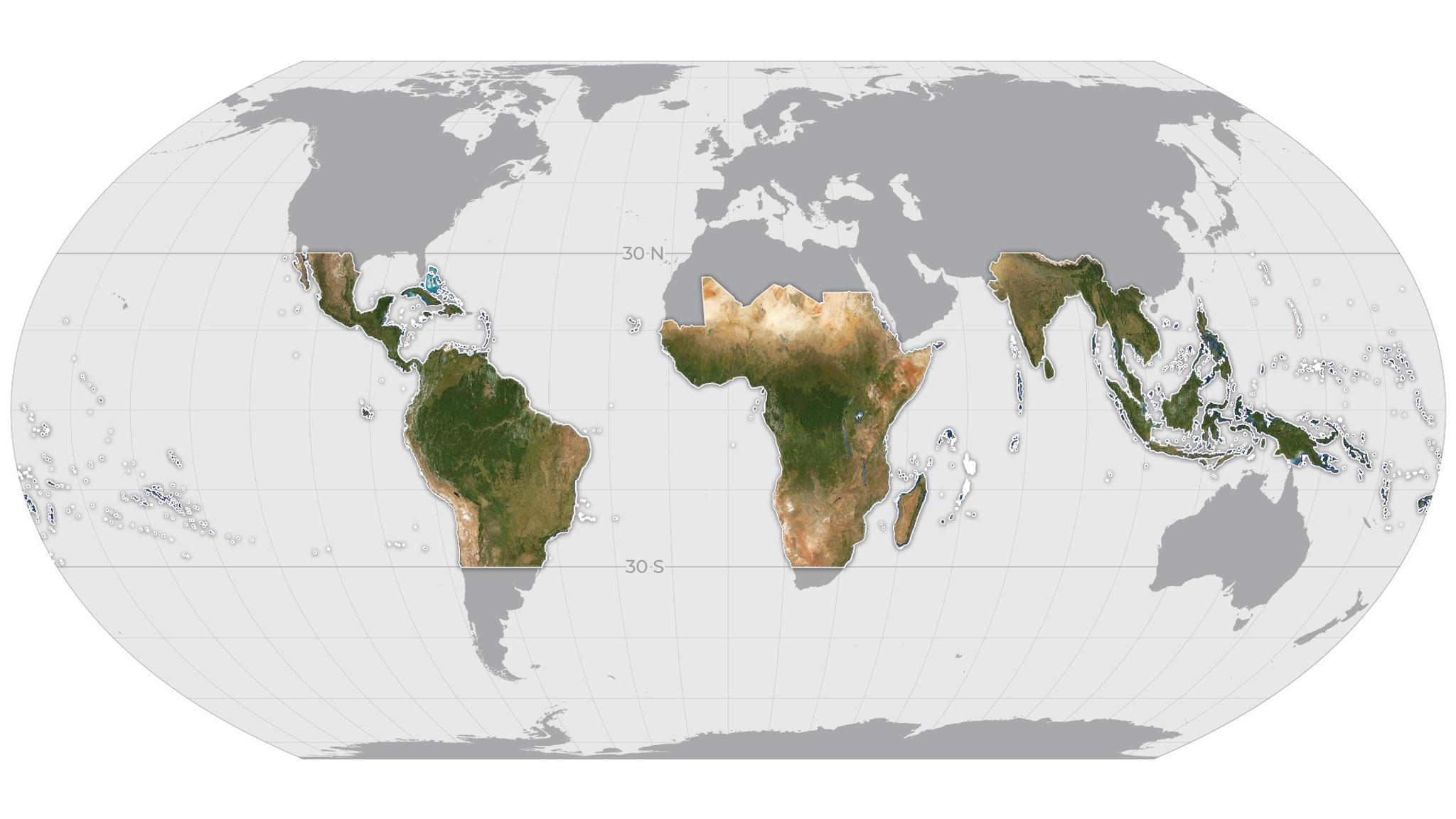
This unique and distinct partnership between the public and private sectors is the result of a comprehensive public procurement process led by Norway, with the ambition to utilize technology and data to help facilitate solutions towards the global challenge of tropical deforestation. Planet will provide high-resolution (sub-5m per pixel) Basemaps of the full tropics, covering over 64 developing countries, updated every month. These will be freely available for anyone to view and use through Norway’s technology partners like Global Forest Watch.
Additionally, beginning in mid-October, anyone will be able to download the analysis-ready monthly Basemaps of these regions through Planet’s online satellite imagery platform, Planet Explorer, for the purpose of supporting NICFI’s mission. Planet, KSAT and Airbus will also work with select Norwegian partners to share the original image data, providing key global science and policy leaders with Planet’s daily imagery and Airbus’s unique high-resolution archive.
.
.
One of the most compelling cases for these joint technical capabilities is monitoring and measuring forests by working with leaders in the international community. Satellite imagery is currently being utilized by the Food and Agriculture Organization of the United Nations (FAO) to monitor and protect the forests in Chile, Colombia, Democratic Republic of the Congo, Costa Rica, Ghana, Indonesia, Mexico and Mozambique.
While Global Forest Watch is providing access to geospatial data to the public through the NICFI contract, it’s also working with the Forest Development Authority in Liberia, Amazon Conservation Association (ACA) and many more. It is clear that a global coalition is required to make a considerable impact on the 28 million hectares of forests being cut down every year while working to protect what is left.
“We are pleased to bring together two industry-leading providers of optical satellite imagery in this disruptive initiative by NICFI and the Norwegian Ministry of Climate and the Environment. By providing high resolution satellite images and making them publicly available, KSAT will contribute to a needed transparency with the goal to stop global deforestation,” said Rolf Skatteboe, president and CEO of KSAT. “This contract is important to KSAT and our joint effort aligns perfectly with our other global environmental monitoring and protection initiatives.”
To learn more about the program from Norway’s Ministry of Climate and Environment read the press release.
Ready to Get Started
Connect with a member of our Sales team. We'll help you find the right products and pricing for your needs.