
Planet Satellites Help SynMax Usher In a New Transparent Energy Economy
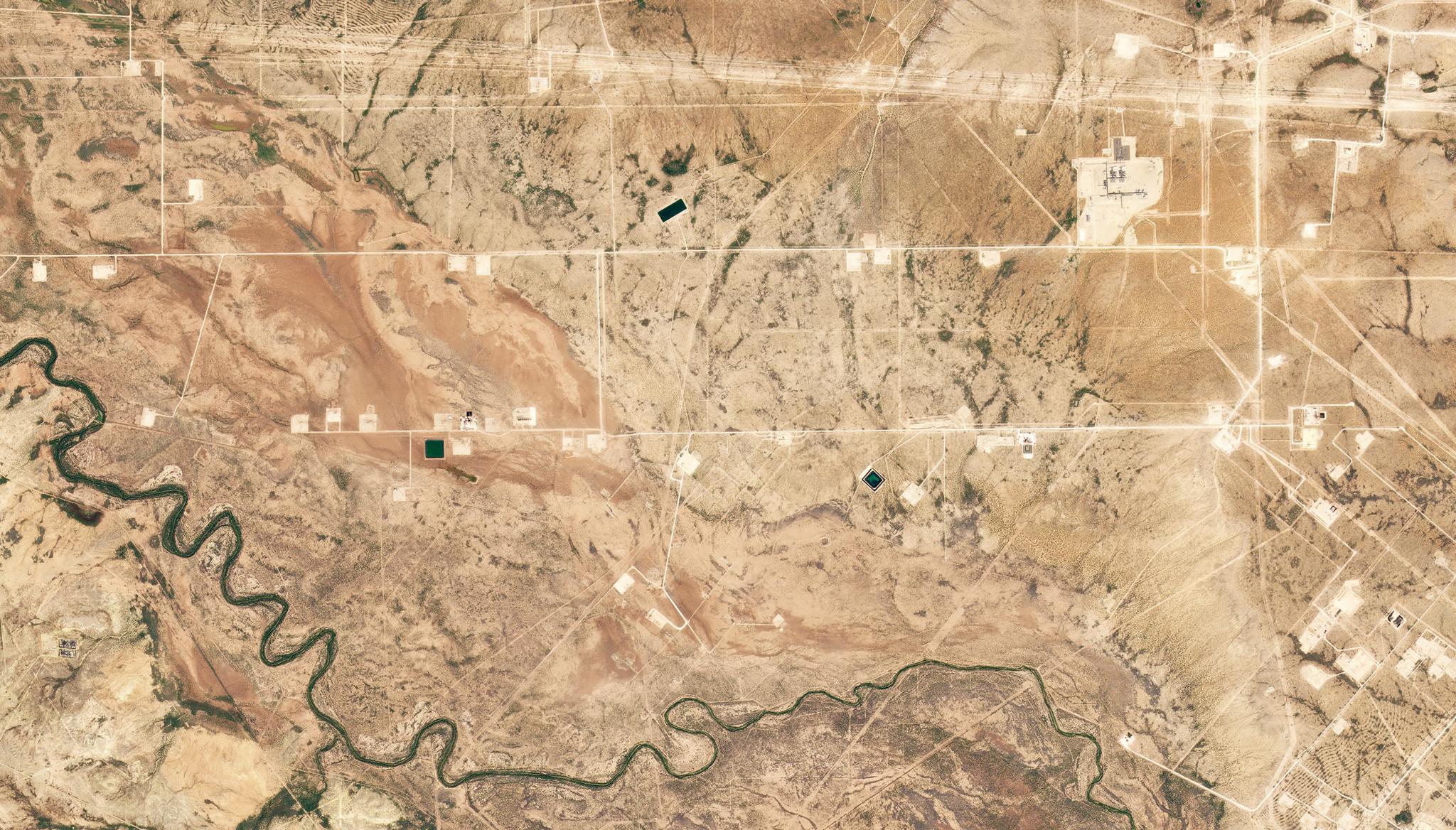
Well pads in the Permian Basin of Reeves County, Texas collected on October 26, 2022. © 2022, Planet Labs PBC. All Rights Reserved.
Stories“Over the next 20 years, the world will move from a hydrocarbon-based economy into a clean energy-based economy. Those 20 years are going to be very messy if we don't have the right information to ramp one down while ramping the other one up.” - Eric Anderson, Chief Technology Officer, SynMax
Energy production is remote and dispersed, which has historically made getting up-to-date information about what’s happening on the ground impossible.
This lack of insight makes it challenging for energy traders to price and plan energy appropriately—a critical task in the coming energy transition. The wrong pricing can have catastrophic consequences, from oversupply that leads to bankruptcies and job losses to shortages that cause skyrocketing prices, which can have serious consequences, especially in the winter months.
Now SynMax, a satellite data analytics company specializing in the use of commercial satellite images to find and monitor oil and gas assets and provide maritime intelligence data, has a solution that will guide energy traders through this critical time. Hyperion monitors frac crews of every major oil and gas practice in the US in near real-time, helping to provide the transparency stakeholders in the energy market so desperately need. With Hyperion, production forecasting will be more precise as data like this has not been used before. For example, SynMax data has shown that wells rarely start producing immediately after the frac crew leaves, as there is a ‘turn in line’ (TIL) lag of usually 30 days. As SynMax has determined that this lag is usually consistent, they are able to leverage Planet satellite data to pinpoint the timing of production.
“Hyperion has made it possible for people to know in real time what production is on the ground in Texas,” said Eric Anderson, CTO of SynMax. “That’s unheard of. It’s hugely valuable, and it’s possible because of satellite imagery.”
But not just any satellite constellation will do. “No other constellation could have been used to create Hyperion,” Anderson said. “We spent a lot of time looking at the available constellations; did some data sampling with other companies. The problem was they were all point-and-shoot constellations. Either we’d be limited to a certain area of interest, or we’d have to buy giant images to capture a single well pad, which was financially untenable.”
Eric sees Hyperion starting to monitor other forms of energy like solar, wind, and battery in the coming years to “give people the most accurate, timely information on how the world’s energy infrastructure is changing. This transition will be difficult; it will take a long time. The way to make it painless is through good information. And the best information is coming from Planet’s satellites.”
Additional ways SynMax uses Planet Data
SynMax has a second product leveraging Planet data: Theia, a maritime intelligence solution. “The fact that it’s using PlanetScope, which is always collecting imagery, is why Theia is such a revolutionary maritime product,” Anderson explains. He shares that it’s very rare to have information at the exact moment a maritime incident happens. “Days later, PlanetScope allows you to roll back the tape, so to speak. We can see what was collected. Competing constellations don’t have that ability. They can only collect once they know to collect there,” he notes. And dark ships? Not anymore. “Anyone who comes to us with a ‘lost’ vessel, even if it disappeared months ago, Theia can tell you where it is and where it has been - reliably, consistently.” Curious about this work? Read our previous blog on the project.
Ready to Get Started
Connect with a member of our Sales team. We'll help you find the right products and pricing for your needs.